6232 Us Highway 223 Addison, MI 49220
Estimated Value: $623,000 - $796,000
2
Beds
2
Baths
1,226
Sq Ft
$563/Sq Ft
Est. Value
About This Home
This home is located at 6232 Us Highway 223, Addison, MI 49220 and is currently estimated at $689,758, approximately $562 per square foot. 6232 Us Highway 223 is a home located in Lenawee County with nearby schools including Addison Elementary School, Addison Middle School, and Addison High School.
Ownership History
Date
Name
Owned For
Owner Type
Purchase Details
Closed on
Sep 15, 2017
Sold by
Ricker Victor J and Ricker Patricia A
Bought by
Hays John A and Hays Andrea D
Current Estimated Value
Home Financials for this Owner
Home Financials are based on the most recent Mortgage that was taken out on this home.
Original Mortgage
$288,000
Outstanding Balance
$240,436
Interest Rate
3.89%
Mortgage Type
New Conventional
Estimated Equity
$449,322
Purchase Details
Closed on
Sep 17, 1997
Bought by
Ricker Victor J and Ricker Patricia
Create a Home Valuation Report for This Property
The Home Valuation Report is an in-depth analysis detailing your home's value as well as a comparison with similar homes in the area
Home Values in the Area
Average Home Value in this Area
Purchase History
| Date | Buyer | Sale Price | Title Company |
|---|---|---|---|
| Hays John A | $360,000 | None Available | |
| Ricker Victor J | -- | -- |
Source: Public Records
Mortgage History
| Date | Status | Borrower | Loan Amount |
|---|---|---|---|
| Open | Hays John A | $288,000 |
Source: Public Records
Tax History Compared to Growth
Tax History
| Year | Tax Paid | Tax Assessment Tax Assessment Total Assessment is a certain percentage of the fair market value that is determined by local assessors to be the total taxable value of land and additions on the property. | Land | Improvement |
|---|---|---|---|---|
| 2025 | $8,613 | $301,500 | $0 | $0 |
| 2024 | $2,297 | $268,200 | $0 | $0 |
| 2023 | -- | $240,700 | $0 | $0 |
| 2022 | $7,981 | $210,900 | $0 | $0 |
| 2021 | $7,707 | $208,000 | $0 | $0 |
| 2020 | $7,615 | $189,700 | $0 | $0 |
| 2019 | $434,883 | $189,700 | $0 | $0 |
| 2018 | $7,591 | $45,946 | $0 | $0 |
| 2017 | $6,586 | $46,308 | $0 | $0 |
| 2016 | $6,369 | $45,599 | $0 | $0 |
| 2014 | -- | $43,582 | $0 | $0 |
Source: Public Records
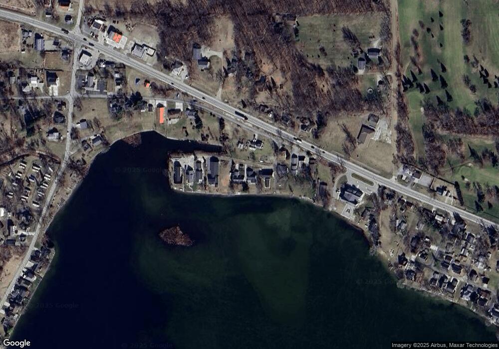
Map
Nearby Homes
- 6360 Winter Rd
- 6103 Highland Ave
- 5935 Tower Dr
- 6820 Devils Lake Hwy
- 8000 Parkhurst Hwy Unit Carroll Dr ((1175)
- 6000 Devils Lake Hwy
- 7841 Devils Lake Hwy
- 10911 Devils Lake Hwy
- Unit 3 Hollyhock Dr
- Unit 2 Hollyhock Dr
- 15858 Lelah Ln
- 4547 Round Lake Hwy
- 4276 Echo Cove
- 4091 Woodland Ave
- 8484 N Rollin Hwy
- 9265 Devils Lake Hwy
- 8788 Parker Hwy
- 7090 Hallenbeck Hwy
- 8676 Cherry Point Dr
- Lot 62 Pamawa Dr
- 6234 Us Highway 223
- 6230 Us Highway 223
- 6241 U S 223
- 6421 Us Highway 223
- 6409 Us Highway 223
- 6409 Us Highway 223
- 6300 Winter Rd
- 4407 Winter Rd Unit 6000 BLK Us-223
- 6190 Us Highway 223
- 6190 Us Highway 223
- 6320 Winter Rd
- 6195 Us Highway 223
- 6215 Us Highway 223
- 6241 Us Highway 223
- 6247 Us Highway 223
- 6025 Us Highway 223
- 6160 Us Highway 223
- 6247 Us Highway 223
- 6247 Us Highway 223
- 6247 Us Highway 223