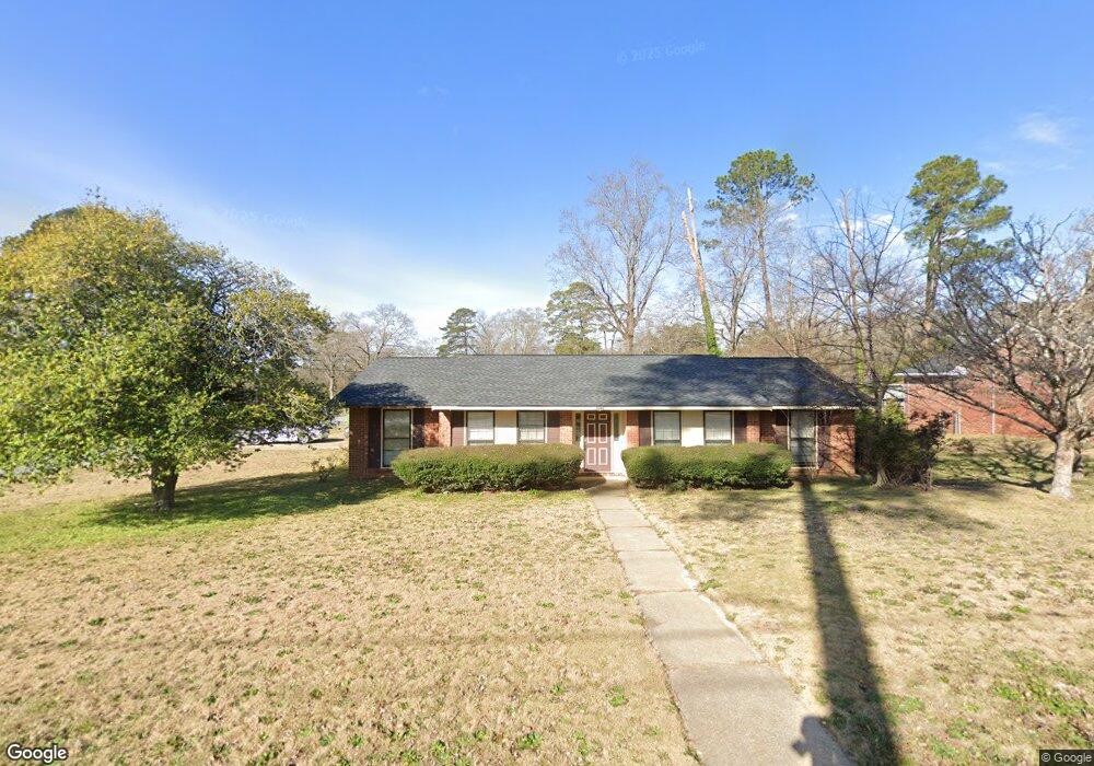
6233 Birling Dr Columbus, GA 31909
North Columbus NeighborhoodEstimated Value: $197,919 - $234,000
3
Beds
3
Baths
1,706
Sq Ft
$127/Sq Ft
Est. Value
About This Home
This home is located at 6233 Birling Dr, Columbus, GA 31909 and is currently estimated at $216,980, approximately $127 per square foot. 6233 Birling Dr is a home located in Muscogee County with nearby schools including Blanchard Elementary School, Blackmon Road Middle School, and Hardaway High School.
Ownership History
Date
Name
Owned For
Owner Type
Purchase Details
Closed on
Oct 17, 2013
Sold by
Palmer Conrad J
Bought by
Turner Robert C
Current Estimated Value
Home Financials for this Owner
Home Financials are based on the most recent Mortgage that was taken out on this home.
Original Mortgage
$77,000
Outstanding Balance
$57,905
Interest Rate
4.52%
Mortgage Type
New Conventional
Estimated Equity
$159,075
Create a Home Valuation Report for This Property
The Home Valuation Report is an in-depth analysis detailing your home's value as well as a comparison with similar homes in the area
Home Values in the Area
Average Home Value in this Area
Purchase History
| Date | Buyer | Sale Price | Title Company |
|---|---|---|---|
| Turner Robert C | $105,900 | -- |
Source: Public Records
Mortgage History
| Date | Status | Borrower | Loan Amount |
|---|---|---|---|
| Open | Turner Robert C | $77,000 |
Source: Public Records
Tax History
| Year | Tax Paid | Tax Assessment Tax Assessment Total Assessment is a certain percentage of the fair market value that is determined by local assessors to be the total taxable value of land and additions on the property. | Land | Improvement |
|---|---|---|---|---|
| 2025 | $2,361 | $60,312 | $10,676 | $49,636 |
| 2024 | $2,361 | $60,312 | $10,676 | $49,636 |
| 2023 | $2,376 | $60,312 | $10,676 | $49,636 |
| 2022 | $2,047 | $50,136 | $10,676 | $39,460 |
| 2021 | $1,818 | $44,528 | $10,676 | $33,852 |
| 2020 | $1,819 | $44,528 | $10,676 | $33,852 |
| 2019 | $1,824 | $44,528 | $10,676 | $33,852 |
| 2018 | $1,824 | $44,528 | $10,676 | $33,852 |
| 2017 | $1,830 | $44,528 | $10,676 | $33,852 |
| 2016 | $1,747 | $42,360 | $5,178 | $37,182 |
| 2015 | $1,749 | $42,360 | $5,178 | $37,182 |
| 2014 | $1,752 | $42,360 | $5,178 | $37,182 |
| 2013 | -- | $34,918 | $5,178 | $29,740 |
Source: Public Records
Map
Nearby Homes
- 4202 Cheshire Bridge Rd
- 6143 Brooklet Dr
- 4174 Will Rhoades Dr
- 4001 Twilight Dr
- 6411 Michael Ave
- 6104 Windsor Dr
- 6158 Arrington Dr
- 4465 Weems Rd
- 4320 Canady St
- 3670 Weems Rd
- 2 Biltmore Ct
- 4437 Ansley Ave
- 3646 Weems Rd
- 5829 Moon Rd
- 4507 N Oaks Dr
- 6697 Springlake Dr
- 3805 Gray Fox Dr
- 5926 Frazier Dr
- 6629 Benson Dr
- 5820 Windsor Dr
- 6239 Birling Dr
- 6228 Moon Rd
- 6238 Moon Rd
- 6245 Birling Dr
- 4142 Cheshire Bridge Rd
- 4204 Cheshire Bridge Rd
- 6232 Birling Dr
- 4136 Cheshire Bridge Rd
- 6244 Moon Rd
- 6240 Birling Dr
- 4208 Cheshire Bridge Rd
- 6253 Birling Dr
- 6248 Birling Dr
- 6224 Moon Rd
- 6252 Moon Rd
- 4214 Cheshire Bridge Rd
- 4240 Will Rhoades Dr
- 4223 Cheshire Bridge Rd
- 4232 Will Rhoades Dr
- 4246 Will Rhoades Dr
Your Personal Tour Guide
Ask me questions while you tour the home.