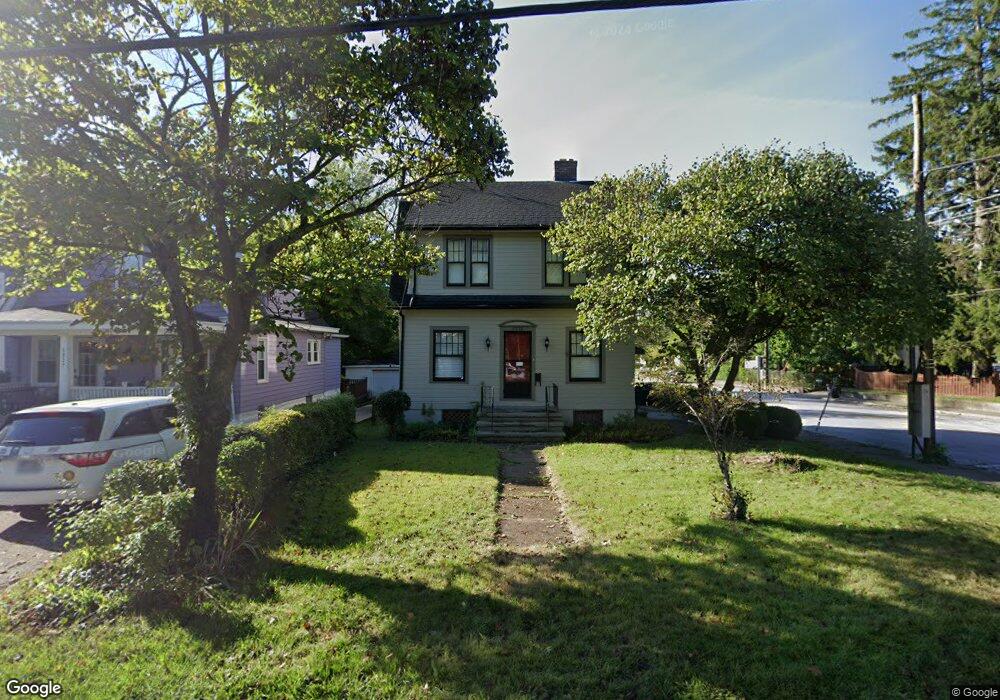
6233 Cambridge Ave Cincinnati, OH 45230
Mount Washington NeighborhoodEstimated Value: $191,057 - $271,000
3
Beds
2
Baths
1,376
Sq Ft
$180/Sq Ft
Est. Value
About This Home
This home is located at 6233 Cambridge Ave, Cincinnati, OH 45230 and is currently estimated at $248,264, approximately $180 per square foot. 6233 Cambridge Ave is a home located in Hamilton County with nearby schools including Mt. Washington Elementary School, Clark Montessori High School, and Shroder High School.
Ownership History
Date
Name
Owned For
Owner Type
Purchase Details
Closed on
Feb 25, 1997
Sold by
Schmidt Robert L and Schmidt Mary M
Bought by
Schmidt Robert L and Schmidt Mary M
Current Estimated Value
Create a Home Valuation Report for This Property
The Home Valuation Report is an in-depth analysis detailing your home's value as well as a comparison with similar homes in the area
Home Values in the Area
Average Home Value in this Area
Purchase History
| Date | Buyer | Sale Price | Title Company |
|---|---|---|---|
| Schmidt Robert L | -- | -- |
Source: Public Records
Tax History Compared to Growth
Tax History
| Year | Tax Paid | Tax Assessment Tax Assessment Total Assessment is a certain percentage of the fair market value that is determined by local assessors to be the total taxable value of land and additions on the property. | Land | Improvement |
|---|---|---|---|---|
| 2024 | $2,635 | $53,081 | $5,516 | $47,565 |
| 2023 | $2,742 | $53,081 | $5,516 | $47,565 |
| 2022 | $1,933 | $36,278 | $4,634 | $31,644 |
| 2021 | $1,832 | $36,278 | $4,634 | $31,644 |
| 2020 | $1,898 | $36,278 | $4,634 | $31,644 |
| 2019 | $1,701 | $31,823 | $4,064 | $27,759 |
| 2018 | $1,704 | $31,823 | $4,064 | $27,759 |
| 2017 | $1,611 | $31,823 | $4,064 | $27,759 |
| 2016 | $1,376 | $28,277 | $4,645 | $23,632 |
| 2015 | $1,247 | $28,277 | $4,645 | $23,632 |
| 2014 | $1,257 | $28,277 | $4,645 | $23,632 |
| 2013 | $1,279 | $28,277 | $4,645 | $23,632 |
Source: Public Records
Map
Nearby Homes
- 1634 Brandon Ave
- 1739 Marquette Ave
- 1605 Marlou Ln
- 6137 Benneville St
- 6390 Cambridge Ave
- 1549 Sutton Ave
- 6258 Benneville St
- 6114 Glade Ave
- 1508 Beth Ln
- 6146 Mariwood Ln
- 1944 Rockland Ave
- 1405 Dyer Ave
- 1323 Thornbird Dr
- 6952 Shadow Ridge Rd
- 4 Cottage Ct
- 6510 Waldorf Place
- 6537 Craigland Ct
- 1190 Linden Hill Ln
- 1178 Linden Hill Ln
- 6113 Wayside Ct
- 6227 Cambridge Ave
- 6229 Cambridge Ave
- 1648 Mears Ave
- 6219 Cambridge Ave
- 6231 Cambridge Ave
- 1646 Mears Ave
- 1700 Mears Ave
- 1653 Mears Ave
- 6217 Cambridge Ave
- 1649 Mears Ave
- 1644 Mears Ave
- 6230 Cambridge Ave
- 1647 Dell Terrace
- 1706 Mears Ave
- 6220 Cambridge Ave
- 6247 Cambridge Ave
- 6234 Cambridge Ave
- 6215 Cambridge Ave
- 1645 Mears Ave
- 1643 Dell Terrace