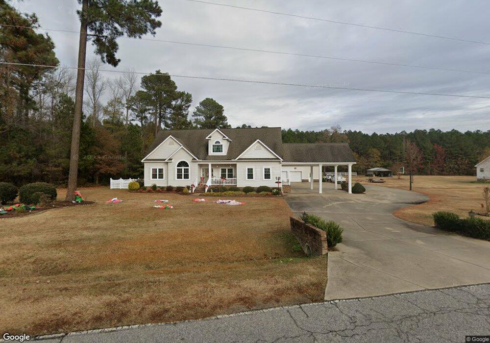
6233 Land Rd Nashville, NC 27856
Estimated Value: $378,000 - $465,000
4
Beds
5
Baths
3,639
Sq Ft
$117/Sq Ft
Est. Value
About This Home
This home is located at 6233 Land Rd, Nashville, NC 27856 and is currently estimated at $425,759, approximately $116 per square foot. 6233 Land Rd is a home located in Nash County with nearby schools including Coopers Elementary School, Southern Nash Middle School, and Southern Nash High School.
Ownership History
Date
Name
Owned For
Owner Type
Purchase Details
Closed on
Mar 24, 2021
Sold by
Saunders Steve and Saunders Pam
Bought by
Saunders Ryan Wayne
Current Estimated Value
Purchase Details
Closed on
Nov 4, 2020
Sold by
Wjl Residential Llc
Bought by
Land Bobby Derl and Land Courtney B
Purchase Details
Closed on
Apr 28, 2011
Sold by
Land Wayne J
Bought by
Saunders Pamela L and Saunders Steven D
Home Financials for this Owner
Home Financials are based on the most recent Mortgage that was taken out on this home.
Original Mortgage
$60,000
Interest Rate
4.83%
Mortgage Type
Credit Line Revolving
Create a Home Valuation Report for This Property
The Home Valuation Report is an in-depth analysis detailing your home's value as well as a comparison with similar homes in the area
Home Values in the Area
Average Home Value in this Area
Purchase History
| Date | Buyer | Sale Price | Title Company |
|---|---|---|---|
| Saunders Ryan Wayne | -- | None Available | |
| Land Bobby Derl | $5,000 | None Available | |
| Saunders Pamela L | $240,000 | None Available |
Source: Public Records
Mortgage History
| Date | Status | Borrower | Loan Amount |
|---|---|---|---|
| Previous Owner | Saunders Pamela L | $60,000 | |
| Previous Owner | Saunders Pamela L | $240,000 |
Source: Public Records
Tax History Compared to Growth
Tax History
| Year | Tax Paid | Tax Assessment Tax Assessment Total Assessment is a certain percentage of the fair market value that is determined by local assessors to be the total taxable value of land and additions on the property. | Land | Improvement |
|---|---|---|---|---|
| 2025 | $2,712 | $357,580 | $17,110 | $340,470 |
| 2024 | $2,682 | $251,220 | $17,110 | $234,110 |
| 2023 | $2,025 | $251,220 | $0 | $0 |
| 2022 | $2,022 | $251,220 | $17,110 | $234,110 |
| 2021 | $2,049 | $254,890 | $0 | $0 |
| 2020 | $2,022 | $251,220 | $17,110 | $234,110 |
| 2019 | $2,022 | $251,220 | $17,110 | $234,110 |
| 2018 | $2,022 | $251,220 | $0 | $0 |
| 2017 | $2,035 | $252,930 | $0 | $0 |
| 2015 | $2,169 | $270,734 | $0 | $0 |
| 2014 | $2,140 | $270,734 | $0 | $0 |
Source: Public Records
Map
Nearby Homes
- 6118 Bones Cut Off Rd
- 1277 E Nc Highway 97
- 8125 Tar River Church Rd
- 6555 N Carolina 58
- 6357 Sapony Trail
- Lot 5 Sheep Pasture Rd
- 3508 Sheep Pasture Rd
- Lot 1 Sheep Pasture Rd
- Lot 2 Sheep Pasture Rd
- 11270 Old Bailey Hwy
- 10031 Sugar Hill Rd
- 5512 Leon Ct
- 5593 Leon Rd
- Lot 4h Green Downs Trail
- 5325 Old White Oak Rd
- Lot 10h Good Shepherd Trail
- 2784 River Meadow Ct
- Lot 3h Good Shepherd Trail
- 2850 Sheep Pasture Rd
- Lot 22h Good Shepherd Trail
- 6254 Land Rd
- 6265 Land Rd
- 6278 Land Rd
- 6326 Land Rd
- 6317 Land Rd
- 6133 Land Rd
- 767 Sandy Cross Rd
- 807 Sandy Cross Rd
- 708 Long Branch Dr
- 6366 Land Rd
- 670 Long Branch Dr
- 6200 Land Rd
- 851 Sandy Cross Rd
- 640 Long Branch Dr
- 6405 Land Rd
- 711 Long Branch Dr
- 687 Long Branch Dr
- 739 Long Branch Dr
- 618 Long Branch Dr
- 767 Long Branch Dr