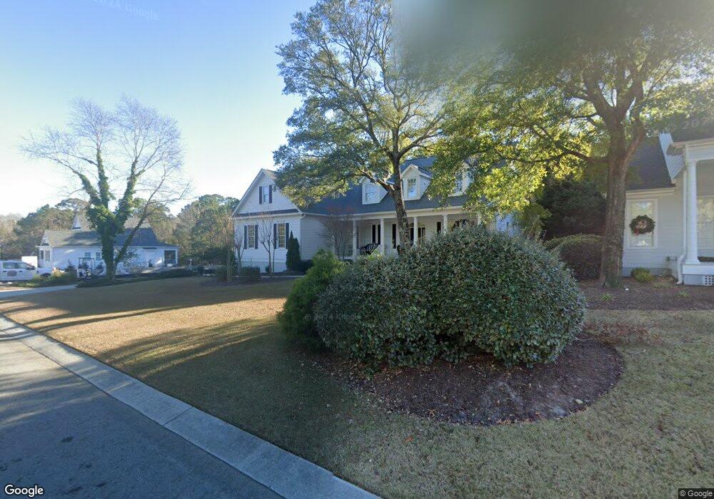
6233 Navigator Way Southport, NC 28461
Estimated Value: $770,444 - $959,000
4
Beds
3
Baths
2,869
Sq Ft
$301/Sq Ft
Est. Value
About This Home
This home is located at 6233 Navigator Way, Southport, NC 28461 and is currently estimated at $862,861, approximately $300 per square foot. 6233 Navigator Way is a home located in Brunswick County with nearby schools including Southport Elementary School, South Brunswick Middle School, and South Brunswick High School.
Ownership History
Date
Name
Owned For
Owner Type
Purchase Details
Closed on
Mar 18, 2025
Sold by
Pedersen Darren
Bought by
Baker Marshella
Current Estimated Value
Purchase Details
Closed on
Jul 1, 2003
Bought by
Barry John C Jr Et Dale A
Create a Home Valuation Report for This Property
The Home Valuation Report is an in-depth analysis detailing your home's value as well as a comparison with similar homes in the area
Home Values in the Area
Average Home Value in this Area
Purchase History
| Date | Buyer | Sale Price | Title Company |
|---|---|---|---|
| Baker Marshella | $57,000 | None Listed On Document | |
| Baker Marshella | $57,000 | None Listed On Document | |
| Barry John C Jr Et Dale A | $64,000 | -- |
Source: Public Records
Tax History Compared to Growth
Tax History
| Year | Tax Paid | Tax Assessment Tax Assessment Total Assessment is a certain percentage of the fair market value that is determined by local assessors to be the total taxable value of land and additions on the property. | Land | Improvement |
|---|---|---|---|---|
| 2025 | $4,390 | $576,620 | $153,000 | $423,620 |
| 2024 | $4,390 | $576,620 | $153,000 | $423,620 |
| 2023 | $4,689 | $576,620 | $153,000 | $423,620 |
| 2022 | $4,689 | $465,940 | $85,000 | $380,940 |
| 2021 | $4,099 | $465,940 | $85,000 | $380,940 |
| 2020 | $4,099 | $465,940 | $85,000 | $380,940 |
| 2019 | $4,099 | $87,190 | $85,000 | $2,190 |
| 2018 | $3,741 | $70,650 | $68,000 | $2,650 |
| 2017 | $3,716 | $70,650 | $68,000 | $2,650 |
| 2016 | $3,455 | $70,650 | $68,000 | $2,650 |
| 2015 | $3,455 | $422,430 | $68,000 | $354,430 |
| 2014 | $3,231 | $416,239 | $90,000 | $326,239 |
Source: Public Records
Map
Nearby Homes
- 1012 E Moore St
- 1015 E Moore St
- 1014 Softwind Way
- 1010 Softwind Way
- 1003 Softwind Way
- 282 Sand Dollar Ln
- 282 Sand Dollar Ln Unit 38
- 5147 Fernwood Dr
- 717 E Moore St
- 306 N Fodale Ave
- 712 Longleaf Dr
- 5138 Fernwood Dr
- 5122 Fernwood Dr
- 103 Herring Dr
- 2071 Rosin Dr Unit 19
- 2035 Oakton Dr Unit 9
- 131 Stuart Ave Unit 42
- The Thorpe Plan at Waters at Southport
- The Brandt Plan at Waters at Southport
- The Salters Plan at Waters at Southport
- 6231 Navigator Way
- 6235 Navigator Way
- 6203 Navigator Way
- 6208 Navigator Way
- 6216 Navigator Way
- 61 Navigator Way
- 6214 Navigator Way
- Lot 7 Navigator Way
- Lot 26 Navigator Way
- 6229 Navigator Way
- 6230 Navigator Way
- 6232 Navigator Way
- 6237 Navigator Way
- 6234 Navigator Way
- 6228 Navigator Way
- 6227 Navigator Way
- 6236 Navigator Way
- 6229 Pebble Shore Ln
- 6225 Pebble Shore Ln
- 6242 Navigator Way