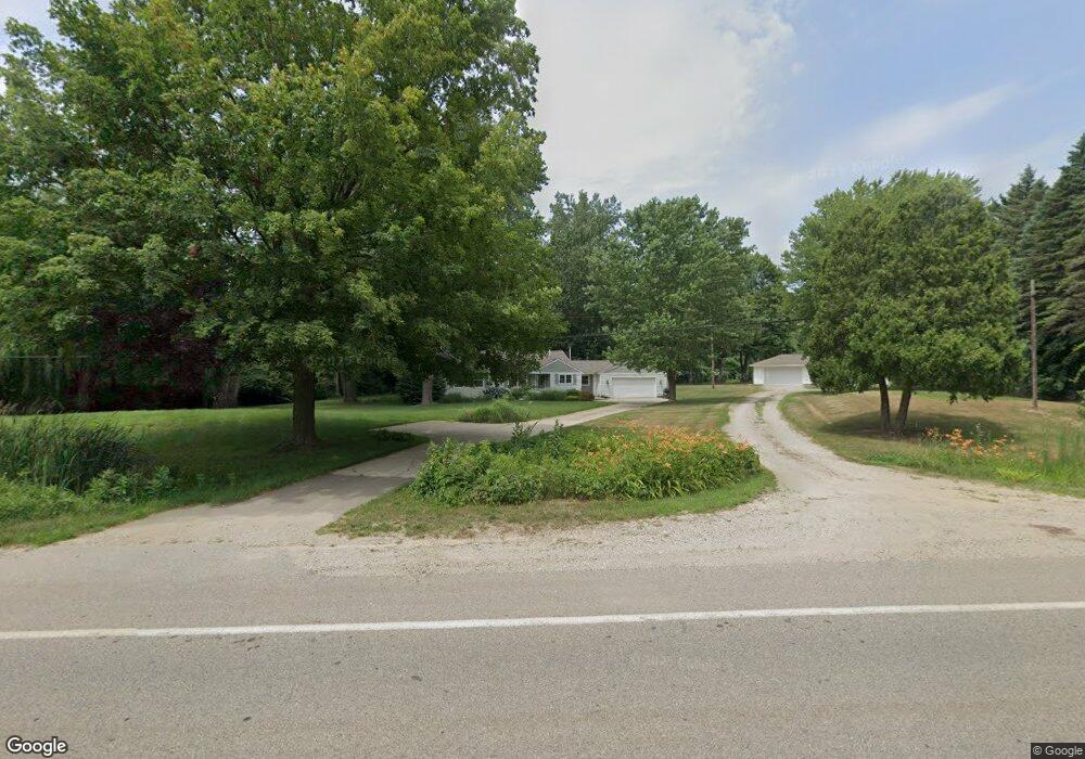
6235 Blue Star Hwy Saugatuck, MI 49453
Estimated Value: $323,000 - $485,000
3
Beds
1
Bath
1,296
Sq Ft
$299/Sq Ft
Est. Value
About This Home
This home is located at 6235 Blue Star Hwy, Saugatuck, MI 49453 and is currently estimated at $387,342, approximately $298 per square foot. 6235 Blue Star Hwy is a home with nearby schools including Douglas Elementary School, Saugatuck Middle School, and Saugatuck High School.
Ownership History
Date
Name
Owned For
Owner Type
Purchase Details
Closed on
Mar 29, 2002
Sold by
Lawson James Lee and Lawson Penny Ann
Bought by
Cazabon Dianna T
Current Estimated Value
Home Financials for this Owner
Home Financials are based on the most recent Mortgage that was taken out on this home.
Original Mortgage
$91,900
Outstanding Balance
$38,124
Interest Rate
6.82%
Mortgage Type
FHA
Estimated Equity
$349,218
Purchase Details
Closed on
Aug 19, 1992
Bought by
James Lee"
Create a Home Valuation Report for This Property
The Home Valuation Report is an in-depth analysis detailing your home's value as well as a comparison with similar homes in the area
Home Values in the Area
Average Home Value in this Area
Purchase History
| Date | Buyer | Sale Price | Title Company |
|---|---|---|---|
| Cazabon Dianna T | $93,000 | Metropolitan Title Company | |
| James Lee" | $51,300 | -- |
Source: Public Records
Mortgage History
| Date | Status | Borrower | Loan Amount |
|---|---|---|---|
| Open | Cazabon Dianna T | $91,900 |
Source: Public Records
Tax History Compared to Growth
Tax History
| Year | Tax Paid | Tax Assessment Tax Assessment Total Assessment is a certain percentage of the fair market value that is determined by local assessors to be the total taxable value of land and additions on the property. | Land | Improvement |
|---|---|---|---|---|
| 2025 | $2,093 | $116,500 | $51,500 | $65,000 |
| 2024 | $1,899 | $102,300 | $34,800 | $67,500 |
| 2023 | $1,899 | $94,800 | $34,800 | $60,000 |
| 2022 | $1,899 | $78,700 | $25,700 | $53,000 |
| 2021 | $1,698 | $79,700 | $25,700 | $54,000 |
| 2020 | $1,698 | $77,100 | $25,700 | $51,400 |
| 2019 | $0 | $74,200 | $25,700 | $48,500 |
| 2018 | $0 | $54,400 | $25,700 | $28,700 |
| 2017 | $0 | $51,500 | $21,900 | $29,600 |
| 2016 | $0 | $50,700 | $21,900 | $28,800 |
| 2015 | -- | $50,700 | $21,900 | $28,800 |
| 2014 | -- | $48,100 | $22,200 | $25,900 |
| 2013 | -- | $47,800 | $22,200 | $25,600 |
Source: Public Records
Map
Nearby Homes
- 6193 Shangrai La Dr Unit 59
- 6127 Kings Way Unit 2
- 01 63rd St Unit D
- 3803 64th St
- 3577 Kingfisher Cove Dr
- 3569 Kingfisher Cove Dr
- 3861 64th St
- 6473 Blue Star Hwy Unit 44
- 6473 Blue Star Hwy Unit 12
- 3871 64th St
- 5994 136th Ave
- 3465 Palmer Dr
- 3426 63rd St
- 3349 Palmer Dr
- 3388 Palmer Dr
- 6008 Hidden Crk Trail
- 0 65th St
- 0 Sugar Hill Ct Unit 3 22025060
- 3328 Pine Glen Dr Unit Lot H
- N of 3365 Clearview Ln
- 6233 Blue Star Hwy
- 6245 Blue Star Hwy
- 6227 Blue Star Hwy
- 6248 Blue Star Hwy
- 6205 Blue Star Hwy
- 3702 62nd St
- 3703 62nd St
- 6190 Blue Star Hwy
- 3701 62nd St
- 3644 62nd St
- 3632 62nd St
- 3645 62nd St
- 6229 136th Ave
- 3677 63rd St
- 3641 62nd St
- 3657 63rd St
- 3665 63rd St
- 3693 63rd St
- 6243 136th Ave
- 6253 136th Ave