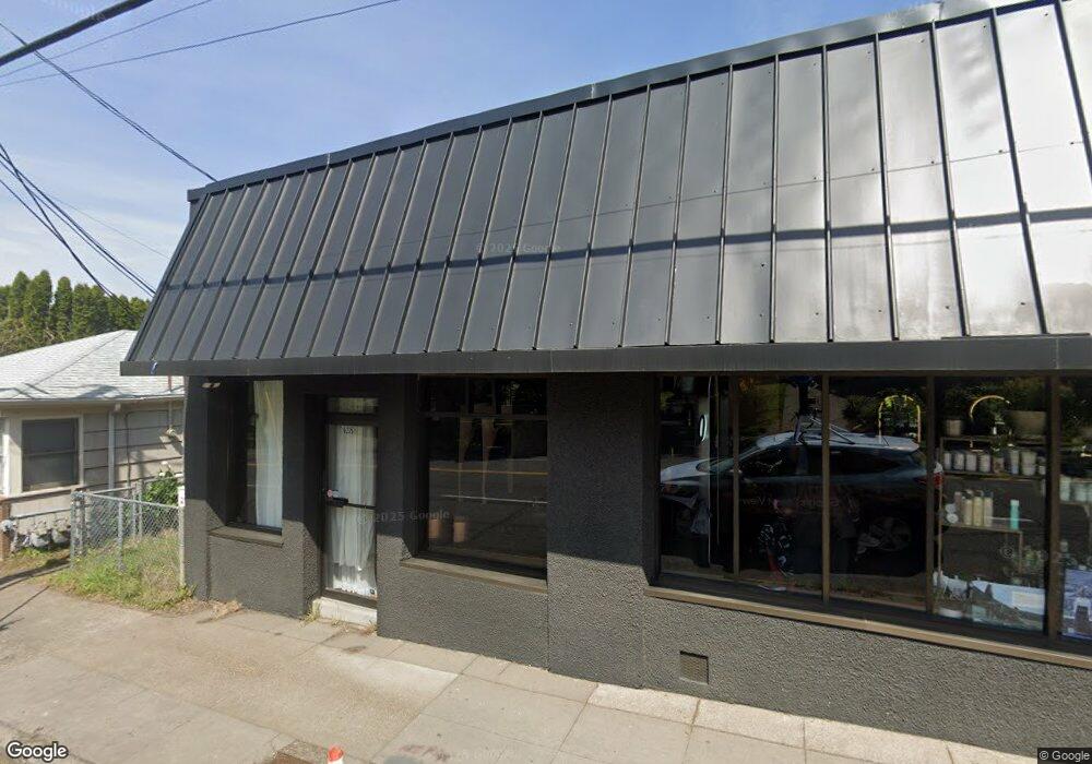
6235 E Burnside St Portland, OR 97215
North Tabor NeighborhoodEstimated Value: $682,716
--
Bed
3
Baths
2,960
Sq Ft
$231/Sq Ft
Est. Value
About This Home
This home is located at 6235 E Burnside St, Portland, OR 97215 and is currently estimated at $682,716, approximately $230 per square foot. 6235 E Burnside St is a home located in Multnomah County with nearby schools including Vestal Elementary School, Leodis V. McDaniel High School, and Portland Arthur Academy.
Ownership History
Date
Name
Owned For
Owner Type
Purchase Details
Closed on
Jan 17, 2023
Sold by
Brown Living Trust
Bought by
Jenkins Family Holdings Llc
Current Estimated Value
Home Financials for this Owner
Home Financials are based on the most recent Mortgage that was taken out on this home.
Original Mortgage
$471,679
Outstanding Balance
$378,707
Interest Rate
6.33%
Mortgage Type
New Conventional
Estimated Equity
$304,009
Purchase Details
Closed on
Mar 17, 2020
Sold by
Brown Kenneth D and Svendse Bonnie A
Bought by
Brown Kenneth D and Brown Living Trust
Purchase Details
Closed on
Jul 13, 2011
Sold by
Brown Lorraine S
Bought by
Brown Lorraine S and Brown Survivors Trust
Purchase Details
Closed on
Jul 13, 2001
Sold by
Brown Norman D
Bought by
Brown Norman D and Brown Lorraine S
Create a Home Valuation Report for This Property
The Home Valuation Report is an in-depth analysis detailing your home's value as well as a comparison with similar homes in the area
Home Values in the Area
Average Home Value in this Area
Purchase History
| Date | Buyer | Sale Price | Title Company |
|---|---|---|---|
| Jenkins Family Holdings Llc | $608,000 | -- | |
| Brown Kenneth D | -- | None Available | |
| Brown Lorraine S | -- | None Available | |
| Brown Norman D | -- | -- |
Source: Public Records
Mortgage History
| Date | Status | Borrower | Loan Amount |
|---|---|---|---|
| Open | Jenkins Family Holdings Llc | $471,679 | |
| Closed | Jenkins Family Holdings Llc | $349,837 |
Source: Public Records
Tax History Compared to Growth
Tax History
| Year | Tax Paid | Tax Assessment Tax Assessment Total Assessment is a certain percentage of the fair market value that is determined by local assessors to be the total taxable value of land and additions on the property. | Land | Improvement |
|---|---|---|---|---|
| 2024 | $5,609 | $209,640 | -- | -- |
| 2023 | $4,906 | $185,150 | $0 | $0 |
| 2022 | $4,800 | $179,760 | $0 | $0 |
| 2021 | $4,719 | $174,530 | $0 | $0 |
| 2020 | $4,329 | $169,450 | $0 | $0 |
| 2019 | $4,299 | $164,520 | $0 | $0 |
| 2018 | $4,047 | $159,730 | $0 | $0 |
Source: Public Records
Map
Nearby Homes
- 6134 E Burnside St
- 6055 E Burnside St
- 6541 E Burnside St
- 232 NE 61st Ave
- 304 NE 63rd Ave
- 6006 NE Davis St
- 223 SE 62nd Ave
- 235 NE 61st Ave Unit 36
- 6505 SE Thorburn St
- 280 NE 60th Ave Unit 22
- 6647 SE Thorburn St
- 5842 E Burnside St
- 350 NE 61st Ave
- 424 NE 61st Ave Unit 426
- 5536 NE Flanders St
- 5528 NE Flanders St
- 0 SE Ash Place Unit 10 24522620
- 7700 SE Stark St
- 5807 NE Everett St Unit 2
- 510 SE 62nd Ave
- 6219 E Burnside St Unit 6225
- 0 E Burnside St Unit 23620916
- 0 E Burnside St Unit 8015063
- 0 E Burnside St Unit 8065188
- 0 E Burnside St Unit 8058778
- 0 E Burnside St Unit 8105143
- 0 E Burnside St Unit 9002466
- 0 E Burnside St Unit 8055340
- 0 E Burnside St Unit 8072178
- 0 E Burnside St Unit 8109984
- 0 E Burnside St Unit 9073195
- 0 E Burnside St Unit 12616665
- 0 E Burnside St Unit 15540775
- 0 E Burnside St Unit 16604336
- 0 E Burnside St Unit 17158400
- 0 E Burnside St Unit 17500681
- -1 E Burnside St
- 0 E Burnside St Unit E4514
- 6230 E Burnside St
- 6240 E Burnside St