Estimated Value: $315,000 - $358,000
3
Beds
2
Baths
1,760
Sq Ft
$192/Sq Ft
Est. Value
About This Home
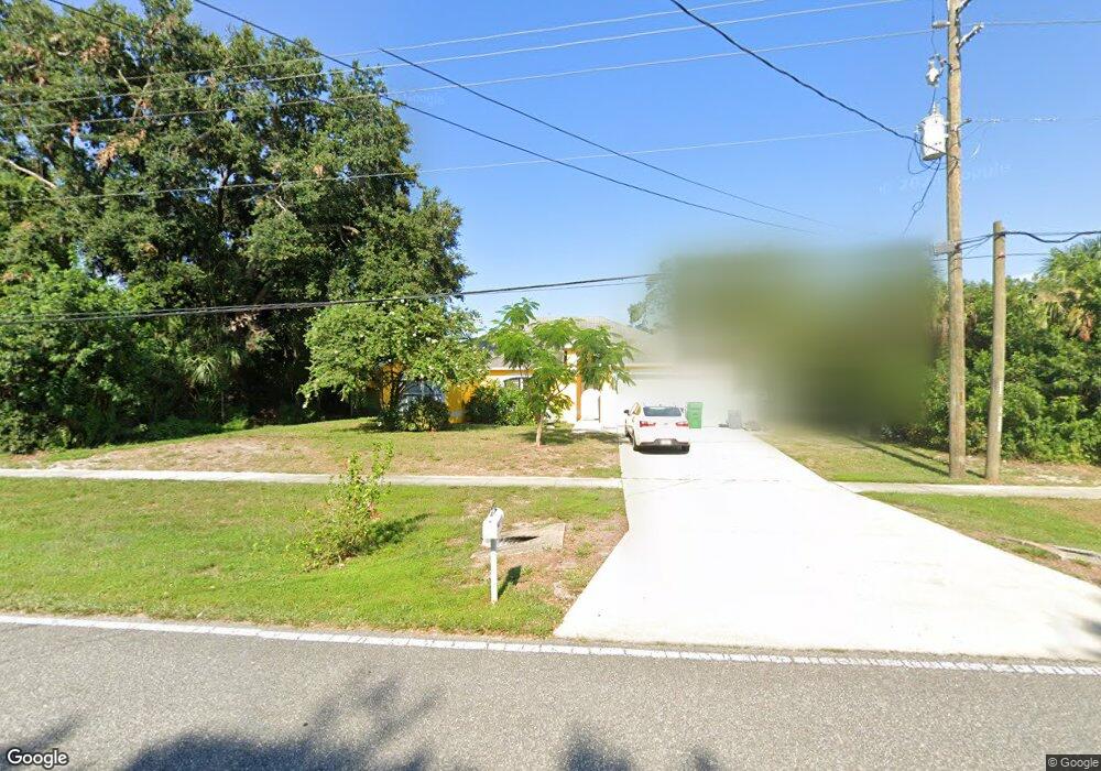
This home is located at 6235 Homestead Ave, Cocoa, FL 32927 and is currently estimated at $337,984, approximately $192 per square foot. 6235 Homestead Ave is a home located in Brevard County with nearby schools including Enterprise Elementary School, Space Coast Junior/Senior High School, and East Atlantic Prep of Brevard County.
Ownership History
Date
Name
Owned For
Owner Type
Purchase Details
Closed on
Apr 28, 1999
Sold by
Maronda Homes Inc Fl
Bought by
Kent Laurie L and Webb Tricia C
Current Estimated Value
Home Financials for this Owner
Home Financials are based on the most recent Mortgage that was taken out on this home.
Original Mortgage
$60,000
Outstanding Balance
$15,529
Interest Rate
7.06%
Estimated Equity
$322,455
Purchase Details
Closed on
Apr 24, 1998
Sold by
Redd Charles and Redd Marie F
Bought by
Maronda Homes Inc Fl
Create a Home Valuation Report for This Property
The Home Valuation Report is an in-depth analysis detailing your home's value as well as a comparison with similar homes in the area
Home Values in the Area
Average Home Value in this Area
Purchase History
| Date | Buyer | Sale Price | Title Company |
|---|---|---|---|
| Kent Laurie L | $106,500 | -- | |
| Maronda Homes Inc Fl | $8,500 | -- |
Source: Public Records
Mortgage History
| Date | Status | Borrower | Loan Amount |
|---|---|---|---|
| Open | Kent Laurie L | $60,000 |
Source: Public Records
Tax History
| Year | Tax Paid | Tax Assessment Tax Assessment Total Assessment is a certain percentage of the fair market value that is determined by local assessors to be the total taxable value of land and additions on the property. | Land | Improvement |
|---|---|---|---|---|
| 2025 | $2,727 | $202,930 | -- | -- |
| 2024 | $2,586 | $203,260 | -- | -- |
| 2023 | $2,586 | $187,940 | $0 | $0 |
| 2022 | $2,384 | $181,280 | $0 | $0 |
| 2021 | $2,248 | $150,690 | $0 | $0 |
| 2020 | $2,087 | $139,440 | $0 | $0 |
| 2019 | $2,007 | $135,210 | $0 | $0 |
| 2018 | $1,927 | $127,200 | $0 | $0 |
| 2017 | $1,862 | $119,550 | $0 | $0 |
| 2016 | $1,785 | $109,440 | $18,000 | $91,440 |
| 2015 | $1,731 | $103,370 | $15,000 | $88,370 |
| 2014 | $1,278 | $89,800 | $11,000 | $78,800 |
Source: Public Records
Map
Nearby Homes
- 6085 Edison St
- 23-35-21-JX-B-2 Aruin St
- 0 Aruin St Unit 1222557
- 6470 Bamboo Ave
- 5720 Flint Rd
- 6460 Homestead Ave
- 6200 Edison St
- 6545 Addie Ave
- 6574 Bamboo Ave
- 6150 Baltimore Ave
- 5680 Banos Ave
- 6230 Balsam St
- 5601 Banos Ave
- 5715 Fairbridge St
- 6180 Balboa St
- 5812 Homestead Ave
- 00000 Golfview Ave
- 6220 Golfview Ave
- 6135 Allmont St
- 6215 Balboa St
- 6260 Bamboo Ave
- 6272 Bamboo Ave
- 6255 Homestead Ave
- 6215 Homestead Ave
- 6284 Bamboo Ave
- 6236 Bamboo Ave
- 6240 Homestead Ave
- 6250 Homestead Ave
- 6265 Homestead Ave
- 6230 Homestead Ave
- 6525 Homestead Ave
- 6191 Homestead Ave
- 6113 Homestead Ave
- 6296 Bamboo Ave
- 6260 Homestead Ave
- 6220 Homestead Ave
- 6261 Bamboo Ave
- 6249 Bamboo Ave
- 5975 Akers St
- 5965 Akers St
Your Personal Tour Guide
Ask me questions while you tour the home.