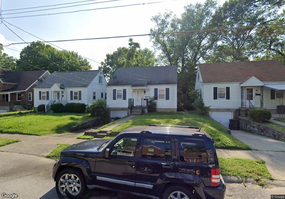
6235 Mayflower Ave Cincinnati, OH 45237
Estimated Value: $164,929 - $190,000
3
Beds
1
Bath
720
Sq Ft
$245/Sq Ft
Est. Value
About This Home
This home is located at 6235 Mayflower Ave, Cincinnati, OH 45237 and is currently estimated at $176,482, approximately $245 per square foot. 6235 Mayflower Ave is a home located in Hamilton County with nearby schools including Pleasant Ridge Montessori School, Shroder High School, and Clark Montessori High School.
Ownership History
Date
Name
Owned For
Owner Type
Purchase Details
Closed on
Apr 4, 2013
Sold by
Lautman Celia
Bought by
428 Dayton Llc
Current Estimated Value
Purchase Details
Closed on
Jun 28, 2011
Sold by
Fannie Mae
Bought by
Zerhusen Brad
Purchase Details
Closed on
Dec 16, 2010
Sold by
Williams Otis
Bought by
Federal National Mortgage Association
Purchase Details
Closed on
Jun 7, 1994
Sold by
Cisneros Henry G
Bought by
Lautman Irwin and Lautman Celia
Create a Home Valuation Report for This Property
The Home Valuation Report is an in-depth analysis detailing your home's value as well as a comparison with similar homes in the area
Home Values in the Area
Average Home Value in this Area
Purchase History
| Date | Buyer | Sale Price | Title Company |
|---|---|---|---|
| 428 Dayton Llc | -- | Attorney | |
| Zerhusen Brad | $42,000 | None Available | |
| Federal National Mortgage Association | $56,000 | None Available | |
| Lautman Irwin | -- | -- |
Source: Public Records
Tax History Compared to Growth
Tax History
| Year | Tax Paid | Tax Assessment Tax Assessment Total Assessment is a certain percentage of the fair market value that is determined by local assessors to be the total taxable value of land and additions on the property. | Land | Improvement |
|---|---|---|---|---|
| 2024 | $2,391 | $32,519 | $8,645 | $23,874 |
| 2023 | $2,394 | $32,519 | $8,645 | $23,874 |
| 2022 | $1,758 | $18,722 | $5,579 | $13,143 |
| 2021 | $1,747 | $18,722 | $5,579 | $13,143 |
| 2020 | $1,733 | $18,722 | $5,579 | $13,143 |
| 2019 | $1,744 | $16,570 | $4,939 | $11,631 |
| 2018 | $1,713 | $16,570 | $4,939 | $11,631 |
| 2017 | $1,683 | $16,570 | $4,939 | $11,631 |
| 2016 | $909 | $8,750 | $5,488 | $3,262 |
| 2015 | $838 | $8,750 | $5,488 | $3,262 |
| 2014 | $797 | $8,750 | $5,488 | $3,262 |
| 2013 | $1,752 | $19,089 | $5,488 | $13,601 |
Source: Public Records
Map
Nearby Homes
- 6243 Graceland Ave
- 6230 Stover Ave
- 6226 Stover Ave
- 2249 Bremont Ave
- 6110 Stover Ave
- 6314 Hammel Ave
- 6406 Stover Ave
- 6032 Mayflower Ave
- 6025 Mayflower Ave
- 2424 Canterbury Ave
- 6047 Yosemite Dr
- 6235 Ridgeacres Dr
- 2425 Bremont Ave
- 6019 Farmdale Rd
- 2421 Ardmore Ave
- 2410 Langdon Farm Rd
- 2365 Vera Ave
- 2604 Saint Albans Ave
- 2524 Ardmore Ave
- 7072 Eastlawn Dr
- 6231 Mayflower Ave
- 6243 Mayflower Ave
- 6227 Mayflower Ave
- 6247 Mayflower Ave
- 6223 Mayflower Ave
- 6234 Elbrook Ave
- 6230 Elbrook Ave
- 6238 Elbrook Ave
- 6253 Mayflower Ave
- 6219 Mayflower Ave
- 6242 Elbrook Ave
- 6230 Mayflower Ave
- 6238 Mayflower Ave
- 6242 Mayflower Ave
- 6222 Elbrook Ave
- 6246 Elbrook Ave
- 6226 Mayflower Ave
- 6246 Mayflower Ave
- 6234 Mayflower Ave
- 6215 Mayflower Ave