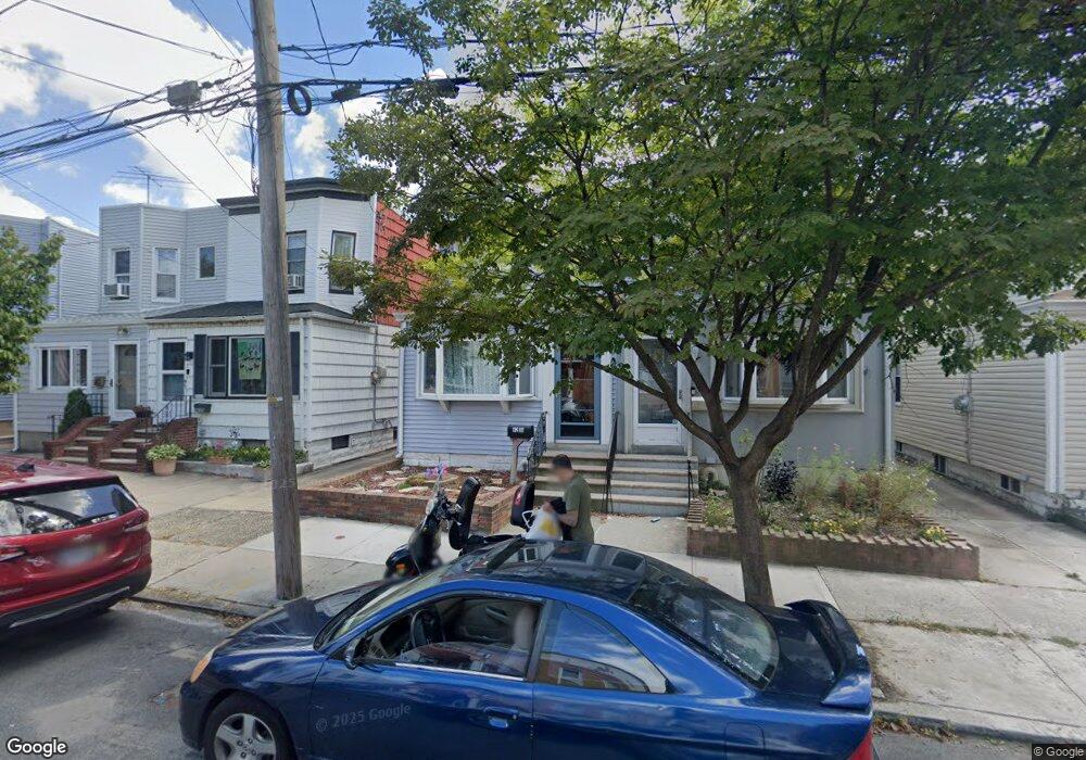
6236 60th Dr Maspeth, NY 11378
Maspeth NeighborhoodEstimated Value: $768,997 - $874,000
--
Bed
--
Bath
1,344
Sq Ft
$613/Sq Ft
Est. Value
About This Home
This home is located at 6236 60th Dr, Maspeth, NY 11378 and is currently estimated at $823,499, approximately $612 per square foot. 6236 60th Dr is a home located in Queens County with nearby schools including P.S. 153 Maspeth, IS 73 - The Frank Sansivieri School, and Grover Cleveland High School.
Ownership History
Date
Name
Owned For
Owner Type
Purchase Details
Closed on
Aug 24, 2021
Sold by
Signorelli Josephine
Bought by
Josephine Signorelli Trust and Josephine Signorelli, As Trustee
Current Estimated Value
Purchase Details
Closed on
Apr 18, 1995
Sold by
Seitz Gloria Ann
Bought by
Signorelli Josephine
Home Financials for this Owner
Home Financials are based on the most recent Mortgage that was taken out on this home.
Original Mortgage
$132,800
Interest Rate
8.33%
Create a Home Valuation Report for This Property
The Home Valuation Report is an in-depth analysis detailing your home's value as well as a comparison with similar homes in the area
Home Values in the Area
Average Home Value in this Area
Purchase History
| Date | Buyer | Sale Price | Title Company |
|---|---|---|---|
| Josephine Signorelli Trust | -- | -- | |
| Signorelli Josephine | $166,000 | First American Title Ins Co |
Source: Public Records
Mortgage History
| Date | Status | Borrower | Loan Amount |
|---|---|---|---|
| Previous Owner | Signorelli Josephine | $132,800 |
Source: Public Records
Tax History Compared to Growth
Tax History
| Year | Tax Paid | Tax Assessment Tax Assessment Total Assessment is a certain percentage of the fair market value that is determined by local assessors to be the total taxable value of land and additions on the property. | Land | Improvement |
|---|---|---|---|---|
| 2025 | $6,281 | $33,535 | $6,263 | $27,272 |
| 2024 | $6,293 | $32,674 | $7,080 | $25,594 |
| 2023 | $5,936 | $30,954 | $6,698 | $24,256 |
| 2022 | $5,550 | $45,120 | $9,660 | $35,460 |
| 2021 | $5,585 | $46,740 | $9,660 | $37,080 |
| 2020 | $5,619 | $40,200 | $9,660 | $30,540 |
| 2019 | $5,403 | $39,780 | $9,660 | $30,120 |
| 2018 | $4,961 | $25,795 | $6,786 | $19,009 |
| 2017 | $4,667 | $24,364 | $6,930 | $17,434 |
| 2016 | $4,655 | $24,364 | $6,930 | $17,434 |
| 2015 | $2,772 | $23,288 | $8,455 | $14,833 |
| 2014 | $2,772 | $22,690 | $9,127 | $13,563 |
Source: Public Records
Map
Nearby Homes
- 62-42 60th Dr
- 62-43 60th Dr
- 62-18 60th Dr
- 62-31 60th Rd
- 6127 62nd St
- 6161 62nd Ave
- 62-36 59th Dr Unit 101
- 5974 Fresh Pond Rd
- 60-68 60th Rd
- 62-33 59th Dr
- 6058 60th Rd
- 6440 60th Ave
- 62-35 65th St
- 62-47 64th St
- 5911 Fresh Pond Rd
- 60-23 60th Rd
- 64-13 Metropolitan Ave
- 60-14 60th Ave
- 61-25 Menahan St
- 63-34 Fresh Pond Rd Unit 3G