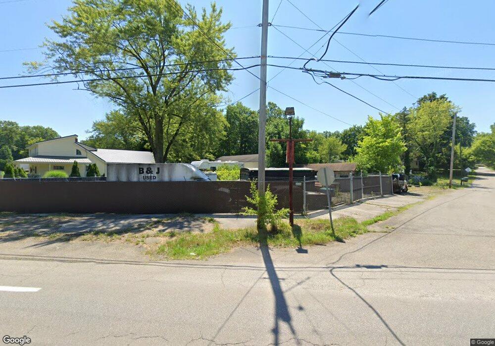
6236 Youngstown Hubbard Rd Hubbard, OH 44425
Estimated Value: $173,000 - $203,000
2
Beds
1
Bath
2,202
Sq Ft
$84/Sq Ft
Est. Value
About This Home
This home is located at 6236 Youngstown Hubbard Rd, Hubbard, OH 44425 and is currently estimated at $185,843, approximately $84 per square foot. 6236 Youngstown Hubbard Rd is a home located in Trumbull County with nearby schools including Hubbard Elementary School, Hubbard Middle School, and Hubbard High School.
Ownership History
Date
Name
Owned For
Owner Type
Purchase Details
Closed on
Jan 6, 2011
Sold by
Townsend Keith and Townsend Susan
Bought by
Townsend Keith D and Townsend Susan E
Current Estimated Value
Purchase Details
Closed on
Nov 28, 2001
Sold by
Townsend Keith
Bought by
Townsend Keith and Townsend Susan
Purchase Details
Closed on
Jan 1, 1990
Bought by
Keith Townsend
Create a Home Valuation Report for This Property
The Home Valuation Report is an in-depth analysis detailing your home's value as well as a comparison with similar homes in the area
Home Values in the Area
Average Home Value in this Area
Purchase History
| Date | Buyer | Sale Price | Title Company |
|---|---|---|---|
| Townsend Keith D | -- | Attorney | |
| Townsend Keith | -- | -- | |
| Keith Townsend | -- | -- |
Source: Public Records
Tax History Compared to Growth
Tax History
| Year | Tax Paid | Tax Assessment Tax Assessment Total Assessment is a certain percentage of the fair market value that is determined by local assessors to be the total taxable value of land and additions on the property. | Land | Improvement |
|---|---|---|---|---|
| 2024 | $2,385 | $42,080 | $1,720 | $40,360 |
| 2023 | $2,385 | $42,080 | $1,720 | $40,360 |
| 2022 | $1,874 | $29,480 | $1,720 | $27,760 |
| 2021 | $1,882 | $29,480 | $1,720 | $27,760 |
| 2020 | $1,889 | $29,480 | $1,720 | $27,760 |
| 2019 | $1,823 | $26,960 | $1,720 | $25,240 |
| 2018 | $1,769 | $26,960 | $1,720 | $25,240 |
| 2017 | $1,764 | $26,960 | $1,720 | $25,240 |
| 2016 | $1,647 | $26,400 | $1,510 | $24,890 |
| 2015 | $1,652 | $26,400 | $1,510 | $24,890 |
| 2014 | $1,620 | $26,400 | $1,510 | $24,890 |
| 2013 | $1,697 | $27,690 | $1,510 | $26,180 |
Source: Public Records
Map
Nearby Homes
- 3275 Beechwood Dr
- 366 Westview Ave
- 257 Westview Ave
- 3234 Bell Wick Rd
- 3687 Franklin Ave
- 191 Maple Leaf Dr
- 5843 Fairlawn Ave
- 652 Meadowland Dr
- 124 Rebecca Ave
- 323 W Liberty St
- 160 Hager St
- 203 Hager St
- V/L Jacobs Rd
- 312 W Park Ave
- 110 School St
- 50 Walnut St
- 3943 Logangate Rd
- 6982 Mcclure Rd
- 0 Powder Mill Run Unit 5127333
- 0 Powder Mill Run Unit 5127327
- 6236 Youngstown Hubbard Rd
- 3436 Shadyside Dr
- 3436 Shadyside Dr
- 3439 Shadyside Dr
- 6248 Youngstown Hubbard Rd
- 3407 Beechwood Dr
- 3407 Beechwood Dr
- 3407 Beechwood Dr
- 3407 Beechwood Dr
- 3419 Beechwood Dr
- 6211 Youngstown Hubbard Rd
- 6229 Youngstown Hubbard Rd
- 3447 Shadyside Dr
- 3433 Beechwood Dr
- 6205 Youngstown Hubbard Rd
- 3442 Shadyside Dr
- 3439 Beechwood Dr
- 6247 Youngstown Hubbard Rd
- 6196 Youngstown Hubbard Rd
- 6262 Youngstown Hubbard Rd