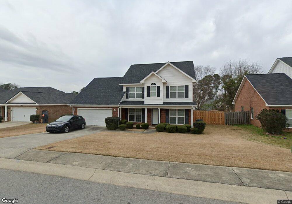
6238 Freedom Cir Grovetown, GA 30813
Estimated Value: $303,000 - $315,000
5
Beds
3
Baths
2,307
Sq Ft
$134/Sq Ft
Est. Value
About This Home
This home is located at 6238 Freedom Cir, Grovetown, GA 30813 and is currently estimated at $309,687, approximately $134 per square foot. 6238 Freedom Cir is a home located in Columbia County with nearby schools including Cedar Ridge Elementary School, Edmonds Elementary School, and Grovetown Middle School.
Ownership History
Date
Name
Owned For
Owner Type
Purchase Details
Closed on
Nov 14, 2018
Sold by
Dunn Marilyn J
Bought by
Dunn Floyd J
Current Estimated Value
Purchase Details
Closed on
Jul 9, 2004
Sold by
Benchmark Augusta Homes Ltd
Bought by
Dunn Floyd J and Dunn Marilyn J
Home Financials for this Owner
Home Financials are based on the most recent Mortgage that was taken out on this home.
Original Mortgage
$159,380
Interest Rate
6.25%
Mortgage Type
VA
Create a Home Valuation Report for This Property
The Home Valuation Report is an in-depth analysis detailing your home's value as well as a comparison with similar homes in the area
Home Values in the Area
Average Home Value in this Area
Purchase History
| Date | Buyer | Sale Price | Title Company |
|---|---|---|---|
| Dunn Floyd J | -- | -- | |
| Dunn Floyd J | $156,000 | -- |
Source: Public Records
Mortgage History
| Date | Status | Borrower | Loan Amount |
|---|---|---|---|
| Previous Owner | Dunn Floyd J | $159,380 |
Source: Public Records
Tax History Compared to Growth
Tax History
| Year | Tax Paid | Tax Assessment Tax Assessment Total Assessment is a certain percentage of the fair market value that is determined by local assessors to be the total taxable value of land and additions on the property. | Land | Improvement |
|---|---|---|---|---|
| 2025 | -- | $120,676 | $22,404 | $98,272 |
| 2024 | $7 | $117,267 | $21,904 | $95,363 |
| 2023 | $0 | $110,248 | $21,404 | $88,844 |
| 2022 | $0 | $98,508 | $19,004 | $79,504 |
| 2021 | $2,313 | $82,951 | $15,804 | $67,147 |
| 2020 | $2,313 | $78,278 | $15,404 | $62,874 |
| 2019 | $2,313 | $74,207 | $14,904 | $59,303 |
| 2018 | $2,313 | $70,300 | $13,804 | $56,496 |
| 2017 | $2,188 | $68,622 | $13,804 | $54,818 |
| 2016 | $1,870 | $60,440 | $11,980 | $48,460 |
| 2015 | $1,803 | $58,075 | $10,980 | $47,095 |
| 2014 | $1,774 | $56,580 | $10,980 | $45,600 |
Source: Public Records
Map
Nearby Homes
- 6222 Freedom Cir
- 4041 Corners Way
- 7609 Main St
- 803 Whispering Willow Ct
- 9031 Battle Ct
- 8021 Battle St
- The Kershaw Plan at Ferguson Farms
- The Jefferson Plan at Ferguson Farms
- 2027 Saylor Ln
- 2030 Saylor Ln
- The Sadler Plan at Ferguson Farms
- The Tyndall Plan at Ferguson Farms
- 3010 Dale St
- 3008 Dale St
- 2028 Saylor Ln
- The Hollins Plan at Ferguson Farms
- The Lambert Plan at Ferguson Farms
- The Easton Plan at Ferguson Farms
- 1120 Jolly Ln
- 1130 Jolly Ln
- 6240 Freedom Cir
- 7621 Senators Ridge Dr
- 6242 Freedom Cir
- 6237 Freedom Cir
- 6234 Freedom Cir
- 6235 Freedom Cir
- 6239 Freedom Cir
- 7627 Senators Ridge Dr
- 6241 Freedom Cir
- 7619 Senators Ridge Dr
- 6233 Freedom Cir
- 6244 Freedom Cir
- 6232 Freedom Cir
- 7629 Senators Ridge Dr
- 7624 Senators Ridge Dr
- 6243 Freedom Cir
- 7626 Senators Ridge Dr
- 7617 Senators Ridge Dr
- 7628 Senators Ridge Dr
- 6231 Freedom Cir