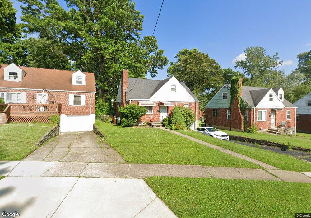
6238 Stover Ave Cincinnati, OH 45237
Estimated Value: $141,274 - $199,000
3
Beds
2
Baths
992
Sq Ft
$177/Sq Ft
Est. Value
About This Home
This home is located at 6238 Stover Ave, Cincinnati, OH 45237 and is currently estimated at $175,319, approximately $176 per square foot. 6238 Stover Ave is a home located in Hamilton County with nearby schools including Pleasant Ridge Montessori School, Shroder High School, and Clark Montessori High School.
Ownership History
Date
Name
Owned For
Owner Type
Purchase Details
Closed on
Sep 1, 2011
Sold by
Harris Robert D
Bought by
Harris Robert D and Harris Regina M
Current Estimated Value
Purchase Details
Closed on
Apr 29, 2003
Sold by
Houston Mildred D Tr
Bought by
Harris Robert D
Home Financials for this Owner
Home Financials are based on the most recent Mortgage that was taken out on this home.
Original Mortgage
$94,850
Outstanding Balance
$40,021
Interest Rate
5.87%
Mortgage Type
VA
Estimated Equity
$135,298
Purchase Details
Closed on
Mar 27, 2000
Sold by
Houston James M and Reed Mildred
Bought by
Houston Mildred D and Houston James M
Create a Home Valuation Report for This Property
The Home Valuation Report is an in-depth analysis detailing your home's value as well as a comparison with similar homes in the area
Home Values in the Area
Average Home Value in this Area
Purchase History
| Date | Buyer | Sale Price | Title Company |
|---|---|---|---|
| Harris Robert D | -- | None Available | |
| Harris Robert D | $93,000 | -- | |
| Houston Mildred D | -- | -- |
Source: Public Records
Mortgage History
| Date | Status | Borrower | Loan Amount |
|---|---|---|---|
| Open | Harris Robert D | $94,850 |
Source: Public Records
Tax History
| Year | Tax Paid | Tax Assessment Tax Assessment Total Assessment is a certain percentage of the fair market value that is determined by local assessors to be the total taxable value of land and additions on the property. | Land | Improvement |
|---|---|---|---|---|
| 2025 | $2,883 | $40,202 | $9,041 | $31,161 |
| 2023 | $2,860 | $40,202 | $9,041 | $31,161 |
| 2022 | $2,172 | $23,849 | $5,838 | $18,011 |
| 2021 | $2,104 | $23,849 | $5,838 | $18,011 |
| 2020 | $2,144 | $23,849 | $5,838 | $18,011 |
| 2019 | $2,147 | $21,105 | $5,166 | $15,939 |
| 2018 | $2,108 | $21,105 | $5,166 | $15,939 |
| 2017 | $2,048 | $21,105 | $5,166 | $15,939 |
| 2016 | $2,379 | $24,283 | $5,740 | $18,543 |
| 2015 | $2,215 | $24,283 | $5,740 | $18,543 |
| 2014 | $2,105 | $24,283 | $5,740 | $18,543 |
| 2013 | $2,126 | $24,283 | $5,740 | $18,543 |
Source: Public Records
Map
Nearby Homes
- 6211 Mayflower Ave
- 6202 Mayflower Ave
- 6025 Mayflower Ave
- 2327 Losantiville Ave
- 2063 E Seymour Ave
- 2344 Losantiville Ave
- 7119 Eastlawn Dr
- 2526 Bremont Ave
- 6750 Elbrook Ave
- 6770 Elbrook Ave
- 2206 Varelman Ave
- 2210 Varelman Ave
- 2537 Vera Ave
- 5721 Carthage Ave
- 2539 Vera Ave
- 5447 Grafton Ave
- 1849 Greenbriar Place
- 2541 Vera Ave
- 2543 Vera Ave
- 5716 Section Ave
- 6234 Stover Ave
- 6242 Stover Ave
- 6246 Stover Ave
- 6250 Stover Ave
- 6235 Elbrook Ave
- 6239 Elbrook Ave
- 6231 Elbrook Ave
- 6243 Elbrook Ave
- 6225 Elbrook Ave
- 6254 Stover Ave
- 6222 Stover Ave
- 6245 Stover Ave
- 6247 Elbrook Ave
- 6241 Stover Ave
- 6223 Elbrook Ave
- 6237 Stover Ave
- 6249 Stover Ave
- 6258 Stover Ave
- 6233 Stover Ave
- 6458 Wiehe Rd
Your Personal Tour Guide
Ask me questions while you tour the home.