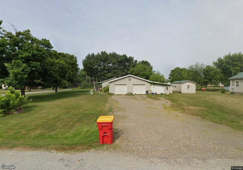
6239 Anderson Dr NW Unit 13WC Malvern, OH 44644
Estimated Value: $93,000 - $259,000
3
Beds
1
Bath
1,580
Sq Ft
$104/Sq Ft
Est. Value
About This Home
This home is located at 6239 Anderson Dr NW Unit 13WC, Malvern, OH 44644 and is currently estimated at $163,590, approximately $103 per square foot. 6239 Anderson Dr NW Unit 13WC is a home located in Carroll County with nearby schools including Malvern Elementary School, Malvern Middle School, and Malvern High School.
Ownership History
Date
Name
Owned For
Owner Type
Purchase Details
Closed on
Dec 3, 2021
Sold by
Krider Steven J
Bought by
Hughes William P
Current Estimated Value
Home Financials for this Owner
Home Financials are based on the most recent Mortgage that was taken out on this home.
Original Mortgage
$60,541
Interest Rate
2.79%
Mortgage Type
FHA
Purchase Details
Closed on
Jan 26, 2006
Sold by
Smith Mark W and Smith Debbie M
Bought by
Krider Steven J
Home Financials for this Owner
Home Financials are based on the most recent Mortgage that was taken out on this home.
Original Mortgage
$50,000
Interest Rate
9.9%
Mortgage Type
New Conventional
Purchase Details
Closed on
Mar 6, 2002
Bought by
Krider Steven J
Create a Home Valuation Report for This Property
The Home Valuation Report is an in-depth analysis detailing your home's value as well as a comparison with similar homes in the area
Home Values in the Area
Average Home Value in this Area
Purchase History
| Date | Buyer | Sale Price | Title Company |
|---|---|---|---|
| Hughes William P | $70,000 | None Listed On Document | |
| Krider Steven J | $30,000 | Landsel Title Agency Inc | |
| Krider Steven J | $30,000 | -- |
Source: Public Records
Mortgage History
| Date | Status | Borrower | Loan Amount |
|---|---|---|---|
| Previous Owner | Hughes William P | $60,541 | |
| Previous Owner | Krider Steven J | $50,000 |
Source: Public Records
Tax History Compared to Growth
Tax History
| Year | Tax Paid | Tax Assessment Tax Assessment Total Assessment is a certain percentage of the fair market value that is determined by local assessors to be the total taxable value of land and additions on the property. | Land | Improvement |
|---|---|---|---|---|
| 2024 | $1,434 | $31,820 | $2,940 | $28,880 |
| 2023 | $1,427 | $31,820 | $2,940 | $28,880 |
| 2022 | $1,422 | $22,460 | $2,450 | $20,010 |
| 2021 | $1,523 | $22,460 | $2,450 | $20,010 |
| 2020 | $1,524 | $22,460 | $2,450 | $20,010 |
| 2019 | $1,573 | $22,460 | $2,450 | $20,010 |
| 2018 | $1,517 | $20,840 | $3,720 | $17,120 |
| 2017 | $1,510 | $20,840 | $3,720 | $17,120 |
| 2016 | $1,467 | $19,130 | $3,420 | $15,710 |
| 2015 | $891 | $19,130 | $3,420 | $15,710 |
| 2014 | $917 | $19,130 | $3,420 | $15,710 |
| 2013 | $911 | $19,130 | $3,420 | $15,710 |
Source: Public Records
Map
Nearby Homes
- 9144 Malwayne Dr NW
- 5192 Willow Dr NW Unit 19A
- 5168 Willow Dr NW
- 32 E Mohawk Dr
- 121 W Mohawk Dr
- 5051 Citrus Rd NW
- 409 Pleasant Ave
- 158 W Mohawk Dr
- 83 Oneida Trail
- 416 W Main St Unit 22
- 91 Oneida Trail
- 408 Gascon St
- 814 Pleasant Ave
- 58 Pueblo Trail
- 145 E Mohawk Dr
- 7145 Bluebird Rd NW
- 6 Cayuga Trail
- 8038 Avalon Rd NW
- 39 Pueblo Trail
- 424 E Porter St Unit 21
- 9111 Wilco Dr NW
- 9009 Wilco Dr NW Unit 9111
- 6240 Anderson Dr NW Unit 13WC
- 6255 Anderson Dr NW Unit 13WC
- 6256 Anderson Dr NW Unit 13WC
- 9094 Wilco Dr NW Unit 13WB
- 9088 Wilco Dr NW Unit 13WB
- 6952 Alliance Rd NW Unit 14WB
- 6946 Alliance Rd NW Unit 14WB
- 6922 Alliance Rd NW Unit 14WB
- 6261 Riverview Dr NW Unit 13WC
- 9100 Wilco Dr NW
- 6958 Alliance Rd NW Unit 14WB
- 6227 Riverview Dr NW Unit 13WB
- 6279 Anderson Dr NW Unit 13WC
- 6930 Alliance Rd NW Unit 14WB
- 6280 Anderson Dr NW Unit 13WC
- 6215 Riverview Dr NW Unit 13WB
- 6964 Alliance Rd NW Unit 14WB
- 6924 Alliance Rd NW Unit 14WB