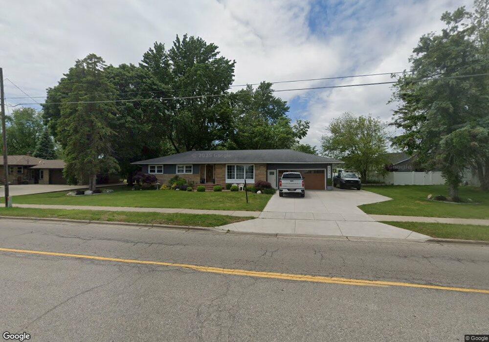
6239 Balsam Dr Hudsonville, MI 49426
Estimated Value: $343,000 - $373,000
3
Beds
3
Baths
2,200
Sq Ft
$163/Sq Ft
Est. Value
About This Home
This home is located at 6239 Balsam Dr, Hudsonville, MI 49426 and is currently estimated at $358,606, approximately $163 per square foot. 6239 Balsam Dr is a home located in Ottawa County with nearby schools including Hudsonville Freshman Campus, Baldwin Street Middle School, and Riley Street Middle School.
Ownership History
Date
Name
Owned For
Owner Type
Purchase Details
Closed on
Dec 2, 2004
Sold by
Nyenhuis Helen G and Nyenhuis Russell J
Bought by
Rivas Mario
Current Estimated Value
Home Financials for this Owner
Home Financials are based on the most recent Mortgage that was taken out on this home.
Original Mortgage
$109,600
Outstanding Balance
$53,126
Interest Rate
5.25%
Mortgage Type
Purchase Money Mortgage
Estimated Equity
$305,481
Create a Home Valuation Report for This Property
The Home Valuation Report is an in-depth analysis detailing your home's value as well as a comparison with similar homes in the area
Home Values in the Area
Average Home Value in this Area
Purchase History
| Date | Buyer | Sale Price | Title Company |
|---|---|---|---|
| Rivas Mario | $137,000 | -- |
Source: Public Records
Mortgage History
| Date | Status | Borrower | Loan Amount |
|---|---|---|---|
| Open | Rivas Mario | $109,600 | |
| Closed | Rivas Mario | $20,550 |
Source: Public Records
Tax History Compared to Growth
Tax History
| Year | Tax Paid | Tax Assessment Tax Assessment Total Assessment is a certain percentage of the fair market value that is determined by local assessors to be the total taxable value of land and additions on the property. | Land | Improvement |
|---|---|---|---|---|
| 2025 | $2,390 | $142,600 | $0 | $0 |
| 2024 | $2,390 | $134,600 | $0 | $0 |
| 2023 | $2,282 | $120,600 | $0 | $0 |
| 2022 | $2,170 | $105,100 | $0 | $0 |
| 2021 | $2,107 | $98,600 | $0 | $0 |
| 2020 | $2,083 | $71,800 | $0 | $0 |
| 2019 | $2,048 | $69,000 | $0 | $0 |
| 2018 | $1,877 | $66,800 | $0 | $0 |
| 2017 | $1,877 | $66,800 | $0 | $0 |
| 2016 | -- | $58,500 | $0 | $0 |
| 2015 | -- | $54,700 | $0 | $0 |
| 2014 | -- | $51,400 | $0 | $0 |
Source: Public Records
Map
Nearby Homes
- 6340 Summer Dr
- 3204 Port Sheldon St
- 6724 28th Ave
- V/L Port Sheldon St
- 6714 Cedar Grove W
- 6760 N Wentward Ct
- 2698 Cedargrove N
- 2921 N Wentward Ct
- 0 V/L Edson (Parcel B) Dr
- 3126 Van Buren St
- 5557 Pleasant Ave
- 3544 Nobb Hill Dr
- 5744 36th Ave
- 2339 Van Buren St
- 3808 Port Sheldon St
- 3505 Curtis St
- 5640 Lawndale Ave
- 5290 Southbrook Ct Unit 46
- 5270 Southbrook Ct Unit 64
- 5833 Nelson Dr
- 6157 Balsam Dr
- 6245 Balsam Dr
- 2919 Hope St
- 6192 Balsam Dr
- 2943 Hope St
- 2983 Hope St
- 6252 Balsam Dr
- 6188 Balsam Dr
- 6262 Balsam Dr
- 2900 Hope St
- 6186 Balsam Dr
- 6265 Balsam Dr
- 2936 Hope St
- 2991 Hope St
- 2925 Springdale Dr
- 2925 Springdale St
- 6260 Balsam Dr
- 2976 Hope St
- 2963 Nuthatch Ln Unit 10
- 6288 Kingbird Dr Unit 5