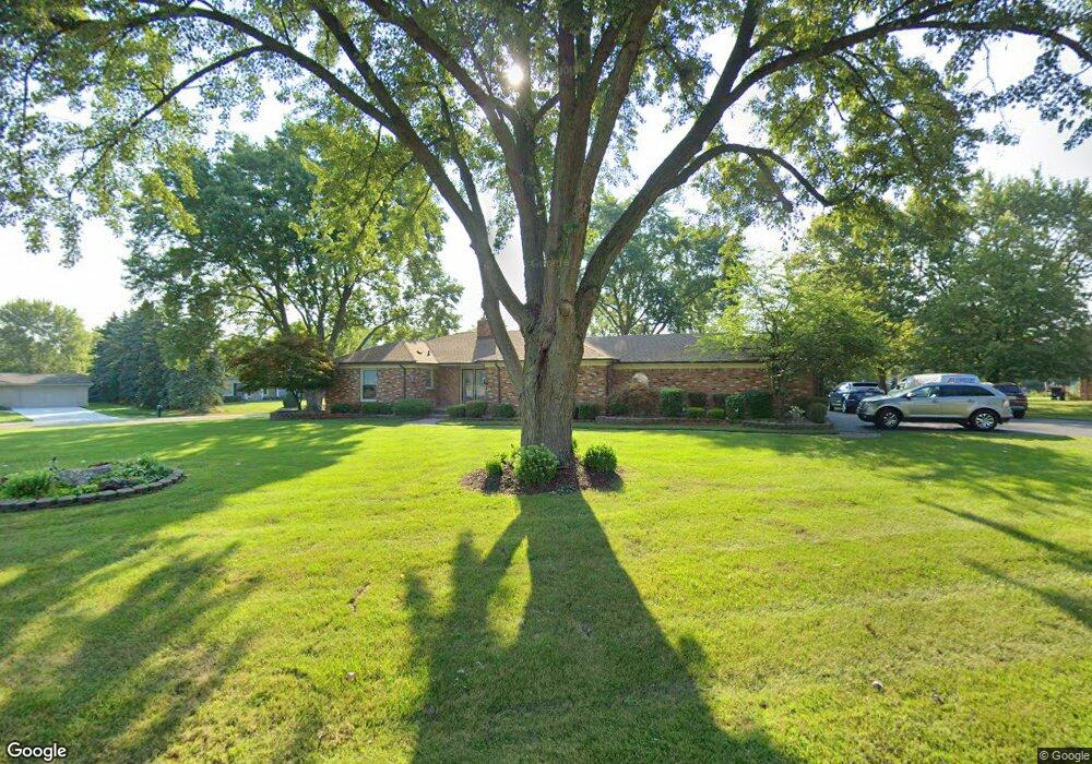
6239 Buxton Dr West Bloomfield, MI 48322
West Bloomfield Township NeighborhoodEstimated Value: $529,570 - $603,000
4
Beds
4
Baths
3,113
Sq Ft
$184/Sq Ft
Est. Value
About This Home
This home is located at 6239 Buxton Dr, West Bloomfield, MI 48322 and is currently estimated at $572,643, approximately $183 per square foot. 6239 Buxton Dr is a home located in Oakland County with nearby schools including Sheiko Elementary School, Bloomfield Maples Montessori, and Sarah & Irving Pitt Child Development Center.
Ownership History
Date
Name
Owned For
Owner Type
Purchase Details
Closed on
Oct 15, 2020
Sold by
Shapiro Nancy R and Shapiro Jack J
Bought by
Revocable Living Trust Of Jack J Shapiro
Current Estimated Value
Purchase Details
Closed on
Mar 10, 1999
Sold by
Nancy R Shapiro Tr
Bought by
Shapiro Nancy R
Create a Home Valuation Report for This Property
The Home Valuation Report is an in-depth analysis detailing your home's value as well as a comparison with similar homes in the area
Home Values in the Area
Average Home Value in this Area
Purchase History
| Date | Buyer | Sale Price | Title Company |
|---|---|---|---|
| Revocable Living Trust Of Jack J Shapiro | -- | None Available | |
| Shapiro Nancy R | -- | -- |
Source: Public Records
Tax History
| Year | Tax Paid | Tax Assessment Tax Assessment Total Assessment is a certain percentage of the fair market value that is determined by local assessors to be the total taxable value of land and additions on the property. | Land | Improvement |
|---|---|---|---|---|
| 2025 | $5,336 | $239,520 | $43,070 | $196,450 |
| 2024 | $3,325 | $227,950 | $0 | $0 |
| 2022 | $3,183 | $200,770 | $37,450 | $163,320 |
| 2021 | $4,838 | $197,310 | $0 | $0 |
| 2020 | $3,120 | $190,170 | $37,450 | $152,720 |
| 2018 | $4,664 | $174,950 | $31,700 | $143,250 |
| 2015 | -- | $133,950 | $0 | $0 |
| 2014 | -- | $123,380 | $0 | $0 |
| 2011 | -- | $112,100 | $0 | $0 |
Source: Public Records
Map
Nearby Homes
- 6151 Orchard Lake Rd Unit 103
- 6121 Orchard Lake Rd Unit 102
- 6322 Pepper Hill St Unit 62
- 4205 Pinehurst Dr
- 6020 Northfield Rd
- 3865 Stonecrest Rd
- 6298 Aspen Ridge Blvd Unit 34
- 4165 Breckenridge Dr
- 6843 Leslee Crest Dr
- 5956 Pinecroft Dr
- 5586 Wild Ridge Ln
- 6651 Hearthside Ct Unit 1
- 6610 Fieldstone Ct
- 6622 Fieldstone Ct
- 5622 Powder Horn Dr
- 5316 Centerbrook Dr
- 6821 Kindling Ct
- 5972 Barnstable Ct
- 5865 Dunmore Ct
- 6076 Dunmore Dr
- 6265 Buxton Dr Unit Bldg-Unit
- 6265 Buxton Dr
- 6280 Tamerlane Dr
- 6238 Buxton Dr
- 6251 Tamerlane Dr
- 6225 Tamerlane Dr
- 6258 Buxton Dr
- 6277 Tamerlane Dr
- 6191 Buxton Dr
- 6306 Tamerlane Dr
- 6291 Buxton Dr
- 6284 Buxton Dr
- 6303 Tamerlane Dr
- 6227 Nicholas Dr
- 6166 Wellesley Dr
- 6253 Nicholas Dr
- 6146 Wellesley Dr
- 6186 Wellesley Dr
- 6330 Tamerlane Dr
- 6207 Nicholas Dr
Your Personal Tour Guide
Ask me questions while you tour the home.