624 Burns Left Fork Rd Lucasville, OH 45648
Estimated Value: $63,000 - $152,000
3
Beds
1
Bath
456
Sq Ft
$234/Sq Ft
Est. Value
About This Home
This home is located at 624 Burns Left Fork Rd, Lucasville, OH 45648 and is currently estimated at $106,512, approximately $233 per square foot. 624 Burns Left Fork Rd is a home located in Scioto County with nearby schools including Valley Elementary School, Valley Middle School, and Valley High School.
Ownership History
Date
Name
Owned For
Owner Type
Purchase Details
Closed on
Apr 8, 2020
Bought by
Jackson Dalene
Current Estimated Value
Purchase Details
Closed on
Oct 31, 2014
Sold by
Dalene Dalene and Dalton Marlene
Bought by
Jackson Dalene
Purchase Details
Closed on
Sep 22, 2014
Sold by
Shirley A Shirley A
Bought by
Jackson Dalene and Dalton Marlene
Purchase Details
Closed on
May 1, 2012
Sold by
Semones William L and Semones Shirley A
Bought by
Alley William D and Alley Diana
Purchase Details
Closed on
Apr 27, 2012
Sold by
Semones William L
Bought by
Alley William D and Alley Trust
Purchase Details
Closed on
Jun 5, 2002
Bought by
Semones William + Shirley
Create a Home Valuation Report for This Property
The Home Valuation Report is an in-depth analysis detailing your home's value as well as a comparison with similar homes in the area
Home Values in the Area
Average Home Value in this Area
Purchase History
| Date | Buyer | Sale Price | Title Company |
|---|---|---|---|
| Jackson Dalene | -- | -- | |
| Jackson Dalene | -- | -- | |
| Dalton John | -- | -- | |
| Jackson Dalene | -- | -- | |
| Semones Shirley A | -- | -- | |
| Alley William D | -- | Prepared By William D Alley | |
| Alley William D | -- | -- | |
| Semones William + Shirley | -- | -- |
Source: Public Records
Tax History Compared to Growth
Tax History
| Year | Tax Paid | Tax Assessment Tax Assessment Total Assessment is a certain percentage of the fair market value that is determined by local assessors to be the total taxable value of land and additions on the property. | Land | Improvement |
|---|---|---|---|---|
| 2024 | $286 | $22,050 | $16,940 | $5,110 |
| 2023 | $286 | $22,050 | $16,940 | $5,110 |
| 2022 | $330 | $22,050 | $16,940 | $5,110 |
| 2021 | $905 | $23,980 | $16,790 | $7,190 |
| 2020 | $892 | $23,980 | $16,790 | $7,190 |
| 2019 | $878 | $21,840 | $15,310 | $6,530 |
| 2018 | $878 | $21,840 | $15,310 | $6,530 |
| 2017 | $875 | $21,840 | $15,310 | $6,530 |
| 2016 | $870 | $20,660 | $14,030 | $6,630 |
| 2015 | $962 | $21,590 | $15,330 | $6,260 |
| 2013 | $767 | $27,240 | $20,980 | $6,260 |
Source: Public Records
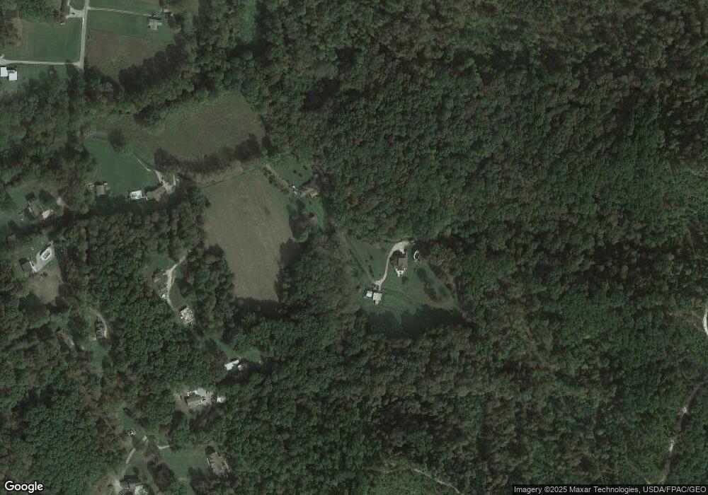
Map
Nearby Homes
- 7042 Ohio 139
- 7080 Ohio 139
- 296 Clay Dr
- 7948 State Route 139
- 8499 Ohio 139
- 640 Rases Mountain Dr
- 448 Houston Hollow Rd
- Lot 9 Hearthstone Dr
- 0 Hearthstone Dr
- 224 Breckenridge Dr
- 13 Cornerstone Dr
- 311 Diane St
- 0 Feurt Hill Rd
- 44 Feurt Hill Rd
- 111 Linda Ave
- 0-5A Rice Rd
- 0-5B Rice Rd
- 0-5 Rice Rd
- 0-2C Rice Rd
- 0-2B Rice Rd
- 0 Burns Road Left Fork
- 702 Burns Left Fork Rd
- 506 Burns Left Fork Rd
- 506 Fork
- 772 Burns Left Fork Rd
- 400 Burns Left Fork Rd
- 837 Burns Left Fork Rd
- 830 Burns Left Fork Rd
- 376 Burns Left Fork Rd
- 921 Burns Hollow Rd
- 222 Burns Road Right Fork
- 845 Burns Hollow Rd
- 0 Burns Rd
- 70 Burns Road Right Fork
- 918 Burns Left Fork Rd
- 155 Burns Left Fork Rd
- 155 Burns Left Fork Rd
- 898 Burns Left Fork Rd
- 767 Burns Hollow Rd
- 1014 Burns Left Fork Rd