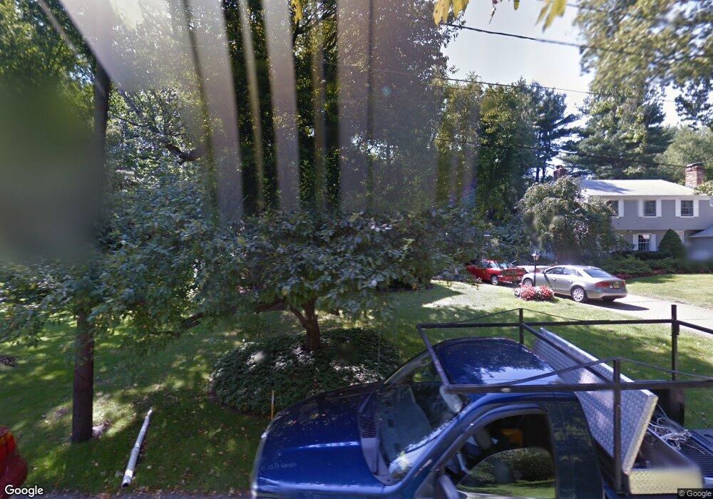
624 Coles Mill Rd Haddonfield, NJ 08033
Estimated Value: $733,666 - $954,000
Studio
--
Bath
2,171
Sq Ft
$388/Sq Ft
Est. Value
About This Home
This home is located at 624 Coles Mill Rd, Haddonfield, NJ 08033 and is currently estimated at $843,167, approximately $388 per square foot. 624 Coles Mill Rd is a home located in Camden County with nearby schools including Haddonfield Memorial High School, Christ the King Regional School, and Haddonfield Friends School.
Ownership History
Date
Name
Owned For
Owner Type
Purchase Details
Closed on
Jun 27, 1997
Sold by
Simons Robert
Bought by
Stuart Kirk N and Stuart Denise
Current Estimated Value
Home Financials for this Owner
Home Financials are based on the most recent Mortgage that was taken out on this home.
Original Mortgage
$169,000
Outstanding Balance
$24,648
Interest Rate
7.7%
Mortgage Type
Purchase Money Mortgage
Estimated Equity
$818,519
Create a Home Valuation Report for This Property
The Home Valuation Report is an in-depth analysis detailing your home's value as well as a comparison with similar homes in the area
Home Values in the Area
Average Home Value in this Area
Purchase History
| Date | Buyer | Sale Price | Title Company |
|---|---|---|---|
| Stuart Kirk N | $211,000 | -- |
Source: Public Records
Mortgage History
| Date | Status | Borrower | Loan Amount |
|---|---|---|---|
| Open | Stuart Kirk N | $169,000 |
Source: Public Records
Tax History Compared to Growth
Tax History
| Year | Tax Paid | Tax Assessment Tax Assessment Total Assessment is a certain percentage of the fair market value that is determined by local assessors to be the total taxable value of land and additions on the property. | Land | Improvement |
|---|---|---|---|---|
| 2025 | $12,762 | $395,000 | $205,200 | $189,800 |
| 2024 | $12,593 | $395,000 | $205,200 | $189,800 |
| 2023 | $12,593 | $395,000 | $205,200 | $189,800 |
| 2022 | $12,494 | $395,000 | $205,200 | $189,800 |
| 2021 | $12,431 | $395,000 | $205,200 | $189,800 |
| 2020 | $12,344 | $395,000 | $205,200 | $189,800 |
| 2019 | $12,245 | $395,000 | $205,200 | $189,800 |
| 2018 | $12,099 | $395,000 | $205,200 | $189,800 |
| 2017 | $11,811 | $395,000 | $205,200 | $189,800 |
| 2016 | $11,546 | $395,000 | $205,200 | $189,800 |
| 2015 | $11,226 | $395,000 | $205,200 | $189,800 |
| 2014 | $10,977 | $395,000 | $205,200 | $189,800 |
Source: Public Records
Map
Nearby Homes
- 870 Cedar Ave
- 1602 Park Blvd
- 422 Park Place Dr
- 419 Park Place Dr
- 801 Cedar Ave
- 504 Park Place Dr
- 1 Webster Ave
- 1405 Farrell Ave Unit 341
- 1405 Farrell Ave Unit 138
- 1405 Farrell Ave Unit 326
- 1405 Farrell Ave Unit 203
- 1405 Farrell Ave Unit 237
- 1405 Farrell Ave Unit 325
- 23 Conwell Ave
- 210 Meadow Dr
- 1205 Farrell Ave
- 501 Somerset Dr
- 1205 Severn Ave
- 904 Mercer St
- 903 Mercer St
- 616 Coles Mill Rd
- 627 Pardee Ln
- 626 Coles Mill Rd
- 623 Pardee Ln
- 612 Coles Mill Rd
- 619 Pardee Ln
- 635 Pardee Ln
- 640 Coles Mill Rd
- 620 Pardee Ln
- 624 Pardee Ln
- 609 Pardee Ln
- 628 Pardee Ln
- 616 Pardee Ln
- 604 Coles Mill Rd
- 632 Pardee Ln
- 612 Pardee Ln
- 601 Pardee Ln
- 608 Pardee Ln
- 625 N Edge Park Dr
- 631 N Edge Park Dr