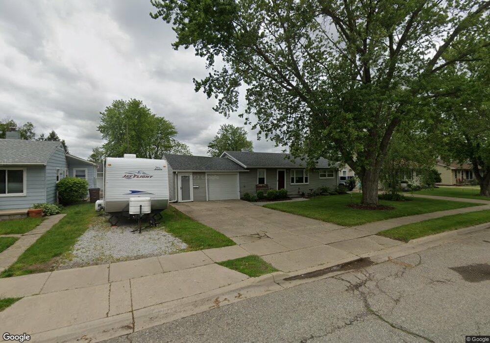
624 First St Unit Bldg-Unit Dundee, MI 48131
Estimated Value: $143,000 - $182,000
Studio
1
Bath
--
Sq Ft
6,970
Sq Ft Lot
About This Home
This home is located at 624 First St Unit Bldg-Unit, Dundee, MI 48131 and is currently estimated at $164,280. 624 First St Unit Bldg-Unit is a home located in Monroe County with nearby schools including Dundee Middle School, Dundee Elementary School, and Dundee Community High School.
Ownership History
Date
Name
Owned For
Owner Type
Purchase Details
Closed on
Feb 10, 2018
Sold by
Lawson Trust
Bought by
Cannon Robert and Cannon Laura
Current Estimated Value
Home Financials for this Owner
Home Financials are based on the most recent Mortgage that was taken out on this home.
Original Mortgage
$83,505
Outstanding Balance
$70,721
Interest Rate
3.99%
Mortgage Type
New Conventional
Estimated Equity
$93,559
Purchase Details
Closed on
Feb 17, 2010
Sold by
Lawson Belinda S
Bought by
Lawson Larry G and Lawson Belinda S
Purchase Details
Closed on
Jun 29, 1999
Sold by
Trst James Gilbert
Bought by
Mobley Hubert and Mobley Jewell
Create a Home Valuation Report for This Property
The Home Valuation Report is an in-depth analysis detailing your home's value as well as a comparison with similar homes in the area
Home Values in the Area
Average Home Value in this Area
Purchase History
| Date | Buyer | Sale Price | Title Company |
|---|---|---|---|
| Cannon Robert | $87,900 | Hassett Title | |
| Lawson Larry G | -- | -- | |
| Mobley Hubert | $86,000 | -- |
Source: Public Records
Mortgage History
| Date | Status | Borrower | Loan Amount |
|---|---|---|---|
| Open | Cannon Robert | $83,505 |
Source: Public Records
Tax History
| Year | Tax Paid | Tax Assessment Tax Assessment Total Assessment is a certain percentage of the fair market value that is determined by local assessors to be the total taxable value of land and additions on the property. | Land | Improvement |
|---|---|---|---|---|
| 2025 | $973 | $67,710 | $67,710 | $0 |
| 2024 | $891 | $65,270 | $0 | $0 |
| 2023 | $434 | $51,240 | $0 | $0 |
| 2022 | $752 | $51,240 | $0 | $0 |
| 2021 | $1,371 | $49,520 | $0 | $0 |
| 2020 | $1,352 | $34,010 | $0 | $0 |
| 2019 | $704 | $34,010 | $0 | $0 |
| 2018 | $1,066 | $35,270 | $0 | $0 |
| 2017 | $1,504 | $35,270 | $0 | $0 |
| 2016 | $1,229 | $32,690 | $0 | $0 |
| 2015 | $1,223 | $27,510 | $0 | $0 |
| 2014 | $1,461 | $27,510 | $0 | $0 |
| 2013 | $1,351 | $26,720 | $0 | $0 |
Source: Public Records
Map
Nearby Homes
- 439 E Monroe St
- 835 Henning St
- 190 Sidney St
- 835 Golf Ridge Cir
- 365 Sidney St
- 671 Elk Ridge Dr
- 535 Falcon Dr
- 301 White Owl Ln Unit 236
- 240 Ypsilanti St
- 264 Ypsilanti St
- 13493 Dixon Rd
- 626 Plank St
- 1353 W Lloyd Rd
- 150 Waterstradt Commerce Dr
- 504 Brooks Hollow Ct
- 512 Brooks Hollow Ct
- 469 Corinth
- 217 Potterstone Dr
- 454 Tecumseh St
- 179 Timberbrook Ln
Your Personal Tour Guide
Ask me questions while you tour the home.