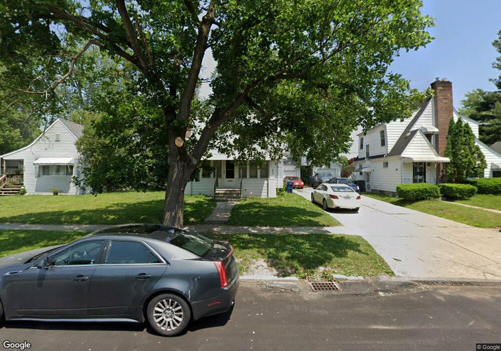
624 Frank St Flint, MI 48504
Mott Park NeighborhoodEstimated Value: $108,000 - $117,000
6
Beds
2
Baths
1,764
Sq Ft
$64/Sq Ft
Est. Value
About This Home
This home is located at 624 Frank St, Flint, MI 48504 and is currently estimated at $112,920, approximately $64 per square foot. 624 Frank St is a home located in Genesee County with nearby schools including Durant-Tuuri-Mott Elementary School, St John Vianney Catholic School, and St. Paul Lutheran School.
Ownership History
Date
Name
Owned For
Owner Type
Purchase Details
Closed on
Jun 5, 2018
Sold by
Manoola Llc
Bought by
Syed Hamza
Current Estimated Value
Purchase Details
Closed on
Oct 30, 2014
Sold by
Assaf Manal
Bought by
Manoola Llc
Purchase Details
Closed on
Apr 21, 2000
Sold by
Straw R Straw J and Straw Ruth
Bought by
Cassiday Dennis and Cassiday Charie
Home Financials for this Owner
Home Financials are based on the most recent Mortgage that was taken out on this home.
Original Mortgage
$87,900
Interest Rate
8.24%
Mortgage Type
Purchase Money Mortgage
Create a Home Valuation Report for This Property
The Home Valuation Report is an in-depth analysis detailing your home's value as well as a comparison with similar homes in the area
Home Values in the Area
Average Home Value in this Area
Purchase History
| Date | Buyer | Sale Price | Title Company |
|---|---|---|---|
| Syed Hamza | $40,000 | Cislo Title Co | |
| Manoola Llc | -- | None Available | |
| Cassiday Dennis | $87,900 | First American Title Ins Co |
Source: Public Records
Mortgage History
| Date | Status | Borrower | Loan Amount |
|---|---|---|---|
| Previous Owner | Cassiday Dennis | $87,900 |
Source: Public Records
Tax History
| Year | Tax Paid | Tax Assessment Tax Assessment Total Assessment is a certain percentage of the fair market value that is determined by local assessors to be the total taxable value of land and additions on the property. | Land | Improvement |
|---|---|---|---|---|
| 2025 | $1,812 | $45,100 | $0 | $0 |
| 2024 | $1,664 | $49,100 | $0 | $0 |
| 2023 | $1,614 | $33,200 | $0 | $0 |
| 2022 | $0 | $26,400 | $0 | $0 |
| 2021 | $1,644 | $26,300 | $0 | $0 |
| 2020 | $1,496 | $26,000 | $0 | $0 |
| 2019 | $1,451 | $18,400 | $0 | $0 |
| 2018 | $1,347 | $16,700 | $0 | $0 |
| 2017 | $1,309 | $0 | $0 | $0 |
| 2016 | $1,309 | $0 | $0 | $0 |
| 2015 | -- | $0 | $0 | $0 |
| 2014 | -- | $0 | $0 | $0 |
| 2012 | -- | $21,500 | $0 | $0 |
Source: Public Records
Map
Nearby Homes
- 2008 University Ave
- 825 Frank St
- 1914 Monteith St
- 2026 Monteith St
- 612 Bradley Ave
- 314 Sheffield Ave
- 2437 Zimmerman St
- 320 Sheffield Ave
- 2710 Mansfield Ave
- 913 Perry St
- 3320 Pencombe Place
- 1900 Cadillac St
- 2023 Cadillac St
- 2663 W Court St
- 2310 Gibson St
- 2464 Gibson St
- 971 N Chevrolet Ave
- 3405 Sherwood Dr
- 2410 Corunna Rd
- 1016 Dupont St
Your Personal Tour Guide
Ask me questions while you tour the home.