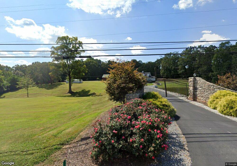
624 Highway 211 NW Winder, GA 30680
Estimated Value: $197,000 - $1,106,783
4
Beds
4
Baths
2,232
Sq Ft
$264/Sq Ft
Est. Value
About This Home
This home is located at 624 Highway 211 NW, Winder, GA 30680 and is currently estimated at $589,196, approximately $263 per square foot. 624 Highway 211 NW is a home located in Barrow County with nearby schools including County Line Elementary School, Russell Middle School, and Winder-Barrow High School.
Ownership History
Date
Name
Owned For
Owner Type
Purchase Details
Closed on
Jul 27, 2018
Sold by
Bishop Katie E
Bought by
Bishop Katie E and Hamilton Mark E M
Current Estimated Value
Purchase Details
Closed on
Apr 29, 2011
Sold by
Bishop Katie E
Bought by
Bishop Katie E and Guest James
Purchase Details
Closed on
Apr 12, 2011
Sold by
Guest James
Bought by
Bishop Katie E
Purchase Details
Closed on
Jan 28, 2004
Sold by
Bishop Katie E
Bought by
Bishop Katie E
Create a Home Valuation Report for This Property
The Home Valuation Report is an in-depth analysis detailing your home's value as well as a comparison with similar homes in the area
Home Values in the Area
Average Home Value in this Area
Purchase History
| Date | Buyer | Sale Price | Title Company |
|---|---|---|---|
| Bishop Katie E | -- | -- | |
| Bishop Katie E | -- | -- | |
| Bishop Katie E | -- | -- | |
| Bishop Katie E | -- | -- |
Source: Public Records
Tax History Compared to Growth
Tax History
| Year | Tax Paid | Tax Assessment Tax Assessment Total Assessment is a certain percentage of the fair market value that is determined by local assessors to be the total taxable value of land and additions on the property. | Land | Improvement |
|---|---|---|---|---|
| 2024 | $8,141 | $337,511 | $131,930 | $205,581 |
| 2023 | $7,685 | $337,511 | $131,930 | $205,581 |
| 2022 | $7,899 | $280,582 | $131,930 | $148,652 |
| 2021 | $5,265 | $175,639 | $131,930 | $43,709 |
| 2020 | $4,278 | $142,056 | $102,168 | $39,888 |
| 2019 | $4,356 | $142,056 | $102,168 | $39,888 |
| 2018 | $4,321 | $142,056 | $102,168 | $39,888 |
| 2017 | $3,820 | $131,208 | $102,168 | $29,040 |
| 2016 | $2,929 | $96,552 | $67,512 | $29,040 |
| 2015 | -- | $96,552 | $67,512 | $29,040 |
Source: Public Records
Map
Nearby Homes
- 84 Carnaby St
- 678 Knightsbridge Ln
- 415 Knightsbridge Ln
- 290 Hyde Park
- 300 Hyde Park
- 654 Huntington Trace
- 796 Pinnacle Dr
- The Hickory A Plan at Cedar Farms
- The Rabun C Plan at Cedar Farms
- The Glenwood A Plan at Cedar Farms
- The Hickory B Plan at Cedar Farms
- The Russell B Plan at Cedar Farms
- The Danbury A Plan at Cedar Farms
- The Harrison G Plan at Cedar Farms
- The Russell A Plan at Cedar Farms
- The Willow B Plan at Cedar Farms
- The Sinclair C Plan at Cedar Farms
- 72 Mcmillian Ct
- 760 Highway 211 NW
- 809 Custom Ln
- 606 Huntington Trace
- 608 Huntington Trace
- 604 Huntington Trace
- 610 Huntington Trace
- 44 Carnaby St
- 34 Carnaby St
- 22 Carnaby St
- 612 Huntington Trace
- 74 Carnaby St
- 74 Carnaby St Unit 235
- 12 Carnaby St
- 94 Carnaby St
- 104 Carnaby St
- 616 Huntington Trace
- 616 Huntington Trace Unit 1
- 15 Knightsbridge Ln
- 114 Carnaby St
- 25 Knightsbridge Ln
- 125 Carnaby St
- 118 Carnaby St Unit 230