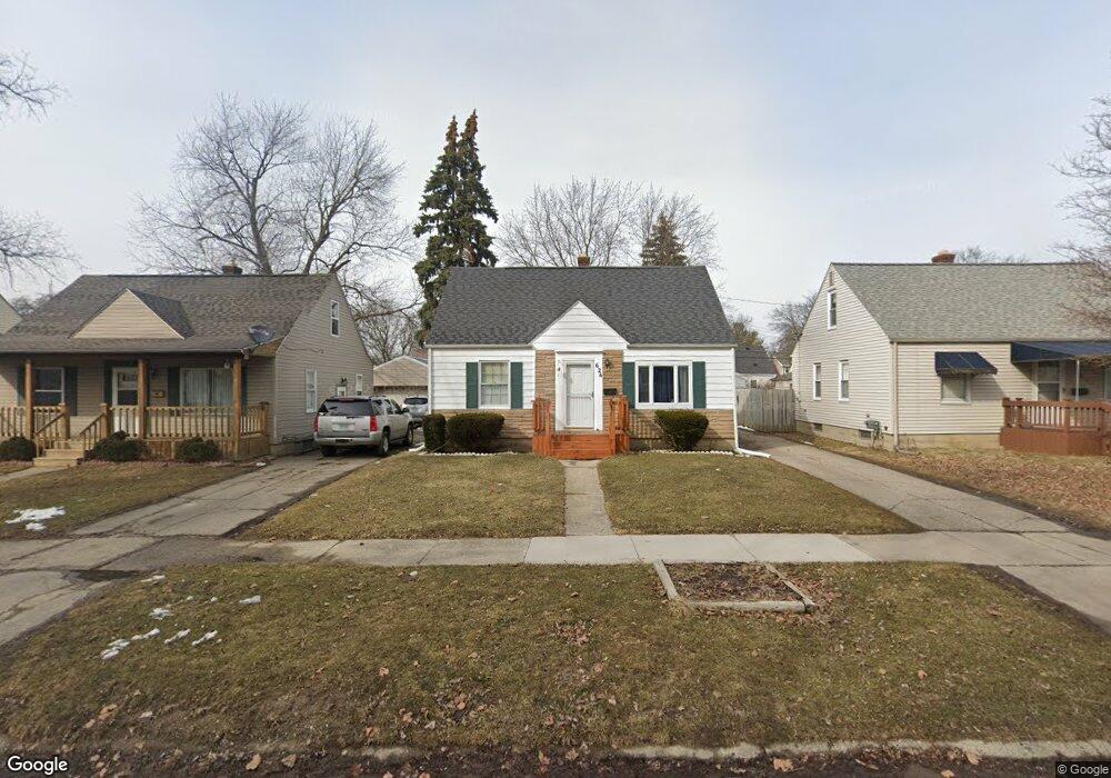
624 Huron St Flint, MI 48507
South Side NeighborhoodEstimated Value: $43,000 - $97,000
3
Beds
1
Bath
743
Sq Ft
$95/Sq Ft
Est. Value
About This Home
This home is located at 624 Huron St, Flint, MI 48507 and is currently estimated at $70,315, approximately $94 per square foot. 624 Huron St is a home located in Genesee County with nearby schools including Neithercut Elementary School, Flint Southwestern Classical Academy, and International Academy of Flint (K-12).
Ownership History
Date
Name
Owned For
Owner Type
Purchase Details
Closed on
Mar 29, 2019
Sold by
Brodie Ruth A
Bought by
Brodie Ruth A
Current Estimated Value
Purchase Details
Closed on
Sep 1, 1999
Sold by
Johnson J M
Bought by
Brodie Frederick R and Brodie Ruth A
Home Financials for this Owner
Home Financials are based on the most recent Mortgage that was taken out on this home.
Original Mortgage
$60,700
Outstanding Balance
$17,607
Interest Rate
7.77%
Mortgage Type
Purchase Money Mortgage
Estimated Equity
$52,708
Create a Home Valuation Report for This Property
The Home Valuation Report is an in-depth analysis detailing your home's value as well as a comparison with similar homes in the area
Home Values in the Area
Average Home Value in this Area
Purchase History
| Date | Buyer | Sale Price | Title Company |
|---|---|---|---|
| Brodie Ruth A | -- | None Available | |
| Brodie Frederick R | $63,900 | Greco Title |
Source: Public Records
Mortgage History
| Date | Status | Borrower | Loan Amount |
|---|---|---|---|
| Open | Brodie Frederick R | $60,700 |
Source: Public Records
Tax History
| Year | Tax Paid | Tax Assessment Tax Assessment Total Assessment is a certain percentage of the fair market value that is determined by local assessors to be the total taxable value of land and additions on the property. | Land | Improvement |
|---|---|---|---|---|
| 2025 | $898 | $23,300 | $0 | $0 |
| 2024 | $817 | $20,400 | $0 | $0 |
| 2023 | $804 | $16,000 | $0 | $0 |
| 2022 | $0 | $14,900 | $0 | $0 |
| 2021 | $834 | $12,900 | $0 | $0 |
| 2020 | $755 | $12,000 | $0 | $0 |
| 2019 | $738 | $10,100 | $0 | $0 |
| 2018 | $796 | $11,500 | $0 | $0 |
| 2017 | $774 | $0 | $0 | $0 |
| 2016 | $769 | $0 | $0 | $0 |
| 2015 | -- | $0 | $0 | $0 |
| 2014 | -- | $0 | $0 | $0 |
| 2012 | -- | $14,600 | $0 | $0 |
Source: Public Records
Map
Nearby Homes
- 612 Clinton St
- 652 Crawford St
- 3902 Cuthbertson St
- 805 Alvord Ave
- 806 Alvord Ave
- 829 Clinton St
- 845 Alvord Ave
- 1216 E Hemphill Rd
- 822 Campbell St
- 912 Huron St
- 3902 Brunswick Ave
- 1219 Norton St
- 846 W Hemphill Rd
- 805 Vermilya Ave
- 3214 S Grand Traverse St
- 825 Vermilya Ave
- 1015 Alvord Ave
- 615 Freeman Ave
- 1028 Campbell St
- 4526 Milton Dr
Your Personal Tour Guide
Ask me questions while you tour the home.