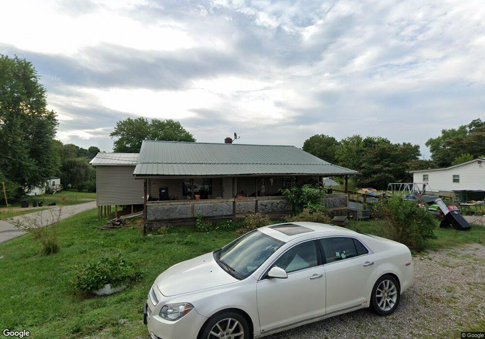
624 Maple St West Union, OH 45693
Estimated Value: $94,000 - $146,000
About This Home
This home is located at 624 Maple St, West Union, OH 45693 and is currently estimated at $122,204, approximately $130 per square foot. 624 Maple St is a home located in Adams County with nearby schools including West Union Elementary School, West Union High School, and Adams County Christian School.
Ownership History
We collect this data history from publicly available records. To have your information removed, we recommend requesting removal directly through your county’s website.
Purchase Details
Purchase Details
Purchase Details
Purchase Details
Purchase Details
Purchase Details
Purchase Details
Home Values in the Area
Average Home Value in this Area
Purchase History
We collect this data history from publicly available records. To have your information removed, we recommend requesting removal directly through your county’s website.
| Date | Buyer | Sale Price | Title Company |
|---|---|---|---|
| -- | Oudell Staved W | ||
| -- | None Available | ||
| -- | -- | ||
| -- | -- | ||
| -- | -- | ||
| -- | -- | ||
| -- | -- |
Tax History
We collect this data history from publicly available records. To have your information removed, we recommend requesting removal directly through your county’s website.
| Year | Tax Paid | Tax Assessment Tax Assessment Total Assessment is a certain percentage of the fair market value that is determined by local assessors to be the total taxable value of land and additions on the property. | Land | Improvement |
|---|---|---|---|---|
| 2025 | $1,273 | $29,400 | $5,040 | $24,360 |
| 2024 | $5,643 | $29,400 | $5,040 | $24,360 |
| 2023 | $1,899 | $29,400 | $5,040 | $24,360 |
| 2022 | $1,013 | $17,720 | $3,820 | $13,900 |
| 2021 | $326 | $17,720 | $3,820 | $13,900 |
| 2020 | $333 | $17,720 | $3,820 | $13,900 |
| 2019 | $333 | $17,720 | $3,820 | $13,900 |
| 2018 | $276 | $15,900 | $3,820 | $12,080 |
| 2017 | $272 | $15,900 | $3,820 | $12,080 |
| 2016 | $272 | $15,900 | $3,820 | $12,080 |
| 2015 | $800 | $14,670 | $3,820 | $10,850 |
| 2014 | $555 | $14,670 | $3,820 | $10,850 |
Map
- 608 Poplar St
- 502 Sycamore St
- 70 Logans Ln
- 421 E Mulberry St
- 315 E North St
- 104 N Washington St
- 412 E South St
- 917 E Walnut St
- 0.8ac State Route 41
- 12196 State Route 41
- 48 Watts St
- 305 W Walnut St
- 286 & 290 S Market St
- Lt 64 Cemetery Rd
- Lt 62 Cemetery Rd
- Lt 63 Cemetery Rd
- 917 Logans Ln
- 260 Randy St
- 0 State Route 41 1 Acre Lot
- 127 Tower Dr
Ask me questions while you tour the home.