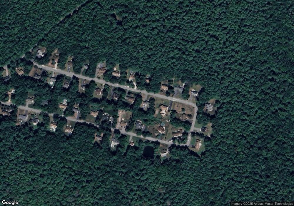
624 Mohawk Dr Westport, MA 02790
Estimated Value: $422,000 - $694,000
3
Beds
3
Baths
2,000
Sq Ft
$290/Sq Ft
Est. Value
About This Home
This home is located at 624 Mohawk Dr, Westport, MA 02790 and is currently estimated at $579,157, approximately $289 per square foot. 624 Mohawk Dr is a home located in Bristol County with nearby schools including North End Elementary School, Talbot Innovation School, and B M C Durfee High School.
Ownership History
Date
Name
Owned For
Owner Type
Purchase Details
Closed on
Sep 23, 2022
Sold by
Ytkin Neil A and Ytkin Marjorie
Bought by
Schanil Charles W
Current Estimated Value
Purchase Details
Closed on
Apr 30, 2008
Sold by
Marum Elizabeth A and Marum William V
Bought by
Ytkin Marjorie and Ytkin Neil A
Create a Home Valuation Report for This Property
The Home Valuation Report is an in-depth analysis detailing your home's value as well as a comparison with similar homes in the area
Home Values in the Area
Average Home Value in this Area
Purchase History
| Date | Buyer | Sale Price | Title Company |
|---|---|---|---|
| Schanil Charles W | -- | None Available | |
| Schanil Charles W | -- | None Available | |
| Ytkin Marjorie | $310,000 | -- | |
| Ytkin Marjorie | $310,000 | -- |
Source: Public Records
Mortgage History
| Date | Status | Borrower | Loan Amount |
|---|---|---|---|
| Previous Owner | Ytkin Marjorie | $278,917 | |
| Previous Owner | Ytkin Marjorie | $281,084 | |
| Previous Owner | Ytkin Marjorie | $269,941 |
Source: Public Records
Tax History Compared to Growth
Tax History
| Year | Tax Paid | Tax Assessment Tax Assessment Total Assessment is a certain percentage of the fair market value that is determined by local assessors to be the total taxable value of land and additions on the property. | Land | Improvement |
|---|---|---|---|---|
| 2025 | $5,401 | $471,700 | $157,900 | $313,800 |
| 2024 | $5,115 | $445,200 | $151,900 | $293,300 |
| 2023 | $5,328 | $434,200 | $144,600 | $289,600 |
| 2022 | $4,788 | $379,400 | $133,900 | $245,500 |
| 2021 | $4,701 | $339,900 | $133,600 | $206,300 |
| 2020 | $4,417 | $305,700 | $126,300 | $179,400 |
| 2019 | $4,343 | $297,900 | $123,900 | $174,000 |
| 2018 | $4,123 | $282,000 | $123,900 | $158,100 |
| 2017 | $3,863 | $275,900 | $120,300 | $155,600 |
| 2016 | $3,664 | $268,800 | $120,300 | $148,500 |
| 2015 | $3,550 | $271,400 | $120,300 | $151,100 |
| 2014 | $3,414 | $271,400 | $120,300 | $151,100 |
Source: Public Records
Map
Nearby Homes
- 309 Yellow Hill Rd
- 1276 Old Fall River Rd
- 2 Donna Marie Dr
- 19 Charles Joseph Dr
- 3 Diane Way
- 2-1 N Hixville Rd
- 1261 N Hixville Rd
- 128 Old Bedford Rd
- 55 Lynch Ln
- 0 Rich St
- Lot 16-18 Old Fall River Rd
- 44 Fenmore St
- 168 Windsor St
- 36 Fordney St
- 1796 Locust St
- 1739 Meridian St
- 125 Angell St
- 85 Reney St
- 200 David St
- 89 Lafayette St