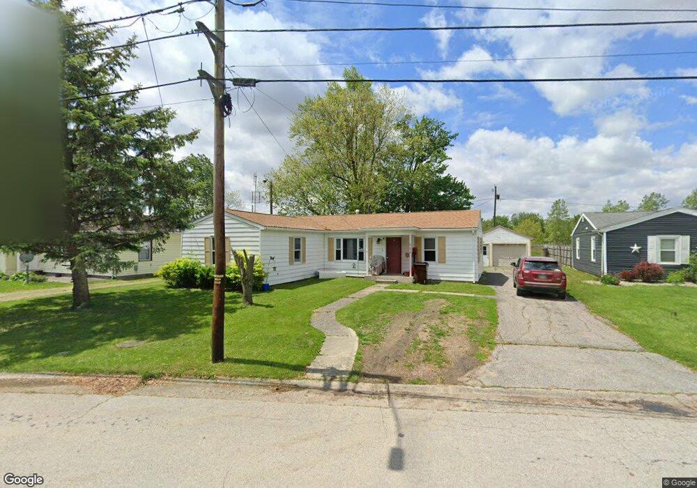
624 N Dix St Paulding, OH 45879
Estimated Value: $129,000 - $167,000
4
Beds
2
Baths
1,376
Sq Ft
$104/Sq Ft
Est. Value
About This Home
This home is located at 624 N Dix St, Paulding, OH 45879 and is currently estimated at $143,657, approximately $104 per square foot. 624 N Dix St is a home located in Paulding County with nearby schools including Paulding High School.
Ownership History
Date
Name
Owned For
Owner Type
Purchase Details
Closed on
Aug 22, 2023
Sold by
Hull Nicole D
Bought by
Vogel Robert and Hull Nicole D
Current Estimated Value
Purchase Details
Closed on
Dec 15, 2017
Sold by
Stahl Mary Alice and Stahl John J
Bought by
Hull Jesse D and Hull Nicole D
Home Financials for this Owner
Home Financials are based on the most recent Mortgage that was taken out on this home.
Original Mortgage
$46,464
Interest Rate
3.94%
Mortgage Type
Future Advance Clause Open End Mortgage
Purchase Details
Closed on
Mar 18, 1997
Bought by
Burt Mary Alice
Create a Home Valuation Report for This Property
The Home Valuation Report is an in-depth analysis detailing your home's value as well as a comparison with similar homes in the area
Home Values in the Area
Average Home Value in this Area
Purchase History
| Date | Buyer | Sale Price | Title Company |
|---|---|---|---|
| Vogel Robert | $31,300 | None Listed On Document | |
| Vogel Robert | $31,300 | None Listed On Document | |
| Hull Jesse D | $58,000 | None Available | |
| Burt Mary Alice | -- | -- |
Source: Public Records
Mortgage History
| Date | Status | Borrower | Loan Amount |
|---|---|---|---|
| Previous Owner | Hull Jesse D | $46,464 |
Source: Public Records
Tax History
| Year | Tax Paid | Tax Assessment Tax Assessment Total Assessment is a certain percentage of the fair market value that is determined by local assessors to be the total taxable value of land and additions on the property. | Land | Improvement |
|---|---|---|---|---|
| 2025 | $1,739 | $39,420 | $8,930 | $30,490 |
| 2024 | $1,739 | $30,310 | $6,860 | $23,450 |
| 2023 | $1,390 | $30,310 | $6,860 | $23,450 |
| 2022 | $1,336 | $30,310 | $6,860 | $23,450 |
| 2021 | $1,163 | $23,670 | $5,150 | $18,520 |
| 2020 | $1,040 | $23,670 | $5,150 | $18,520 |
| 2019 | $1,049 | $21,990 | $5,150 | $16,840 |
| 2018 | $988 | $21,990 | $5,150 | $16,840 |
| 2017 | $988 | $21,990 | $5,150 | $16,840 |
| 2016 | $994 | $21,990 | $5,150 | $16,840 |
| 2015 | $1,053 | $23,670 | $5,150 | $18,520 |
| 2014 | $1,048 | $23,670 | $5,150 | $18,520 |
| 2013 | $1,133 | $23,670 | $5,150 | $18,520 |
Source: Public Records
Map
Nearby Homes
- 829 Greenbriar Ave
- 215 N Dewitt St
- 614 W Jackson St
- 508 W Jackson St
- 516 N Williams St
- 780 N Williams St
- 402 N Williams St
- 726 N Main St
- 830 N Walnut St
- 308 N Main St
- 717 W Harrison St
- 520 W Wayne St
- 301 N Main St
- 714 W Wayne St
- 741 Tom Tim Dr
- 701 E Wayne St
- 742 E Perry St
- 1065 Emerald Rd
- 13688 Kay St
- 11051 Road 93
Your Personal Tour Guide
Ask me questions while you tour the home.