624 Price Rd Snohomish, WA 98290
Estimated Value: $793,000 - $921,000
4
Beds
2
Baths
1,560
Sq Ft
$537/Sq Ft
Est. Value
About This Home
This home is located at 624 Price Rd, Snohomish, WA 98290 and is currently estimated at $837,667, approximately $536 per square foot. 624 Price Rd is a home located in Snohomish County with nearby schools including Machias Elementary School, Centennial Middle School, and Snohomish High School.
Ownership History
Date
Name
Owned For
Owner Type
Purchase Details
Closed on
Oct 8, 1998
Sold by
Brown Nolan N and Brown Roxanna
Bought by
Bye Christopher A and Bye Sarah L
Current Estimated Value
Home Financials for this Owner
Home Financials are based on the most recent Mortgage that was taken out on this home.
Original Mortgage
$173,229
Outstanding Balance
$37,567
Interest Rate
6.79%
Mortgage Type
FHA
Estimated Equity
$800,100
Create a Home Valuation Report for This Property
The Home Valuation Report is an in-depth analysis detailing your home's value as well as a comparison with similar homes in the area
Home Values in the Area
Average Home Value in this Area
Purchase History
| Date | Buyer | Sale Price | Title Company |
|---|---|---|---|
| Bye Christopher A | $182,700 | Evergreen Title Company Inc |
Source: Public Records
Mortgage History
| Date | Status | Borrower | Loan Amount |
|---|---|---|---|
| Open | Bye Christopher A | $173,229 |
Source: Public Records
Tax History Compared to Growth
Tax History
| Year | Tax Paid | Tax Assessment Tax Assessment Total Assessment is a certain percentage of the fair market value that is determined by local assessors to be the total taxable value of land and additions on the property. | Land | Improvement |
|---|---|---|---|---|
| 2025 | $6,471 | $713,000 | $458,000 | $255,000 |
| 2024 | $6,471 | $636,600 | $448,200 | $188,400 |
| 2023 | $6,670 | $731,900 | $523,000 | $208,900 |
| 2022 | $6,096 | $536,000 | $364,000 | $172,000 |
| 2020 | $5,334 | $436,700 | $289,000 | $147,700 |
| 2019 | $5,081 | $411,300 | $270,000 | $141,300 |
| 2018 | $4,953 | $343,400 | $204,000 | $139,400 |
| 2017 | $4,300 | $305,600 | $170,700 | $134,900 |
| 2016 | $4,194 | $285,700 | $152,700 | $133,000 |
| 2015 | $3,804 | $247,100 | $122,300 | $124,800 |
| 2013 | $3,346 | $208,100 | $106,600 | $101,500 |
Source: Public Records
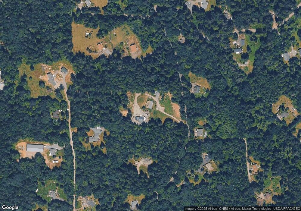
Map
Nearby Homes
- 413 Newberg Rd
- 1209 177th Ave NE
- 0 161st St Unit NWM2403733
- 0 Ok Mill Rd
- 601 Beach Dr
- 3114 159th Ave NE
- 17629 Newberg Rd
- 19921 S Carpenter Rd
- 2424 159th Place NE
- 3412 147th Ave NE
- 19233 25th Place SE
- 13123 21st Ct NE
- 14823 43rd Place NE
- 13107 21st Ct NE
- 1520 128th Dr NE Unit 2A
- 4725 Lerch Rd
- 2002 127th Dr NE
- 13506 Meadow Dr
- 4901 Lerch Rd
- 12808 12th St SE
- 10 XX Price Rd
- 711 Price Rd
- 428 Price Rd
- 607 Price Rd
- 812 Price Rd
- 529 169th Ave NE
- 17220 9th Place NE
- 521 Price Rd
- 9036 State Route (Sr) 9 NE
- 616 169th Ave NE
- 17324 9th Place NE
- 406 Price Rd
- 712 169th Ave NE
- 516 169th Ave NE
- 17129 9th Place NE
- 533 Price Rd
- 409 169th Ave NE
- 323 171st Ave NE
- 424 169th Ave NE
- 910 Price Rd