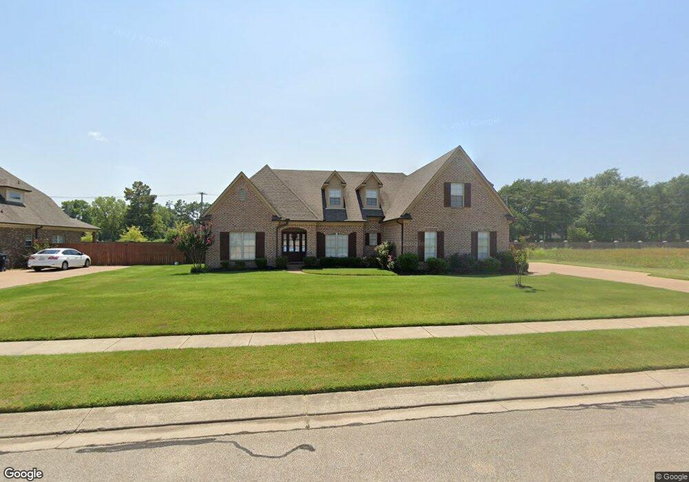
624 Riverwest Cir Marion, AR 72364
Estimated Value: $341,000 - $400,926
3
Beds
3
Baths
2,263
Sq Ft
$165/Sq Ft
Est. Value
About This Home
This home is located at 624 Riverwest Cir, Marion, AR 72364 and is currently estimated at $373,232, approximately $164 per square foot. 624 Riverwest Cir is a home located in Crittenden County with nearby schools including Marion Junior High School and Marion High School.
Ownership History
Date
Name
Owned For
Owner Type
Purchase Details
Closed on
Nov 25, 2020
Sold by
Adkins William and Adkins Loren
Bought by
Robinson Denarius
Current Estimated Value
Purchase Details
Closed on
May 25, 2017
Sold by
Morgan Baker A and Morgan Jennifer
Bought by
Adkins William and Adkins Loren
Home Financials for this Owner
Home Financials are based on the most recent Mortgage that was taken out on this home.
Original Mortgage
$232,215
Interest Rate
3.75%
Mortgage Type
FHA
Create a Home Valuation Report for This Property
The Home Valuation Report is an in-depth analysis detailing your home's value as well as a comparison with similar homes in the area
Purchase History
| Date | Buyer | Sale Price | Title Company |
|---|---|---|---|
| Robinson Denarius | $253,000 | Stewart Title | |
| Adkins William | $237,000 | Cowling Title |
Source: Public Records
Mortgage History
| Date | Status | Borrower | Loan Amount |
|---|---|---|---|
| Previous Owner | Adkins William | $232,215 |
Source: Public Records
Tax History
| Year | Tax Paid | Tax Assessment Tax Assessment Total Assessment is a certain percentage of the fair market value that is determined by local assessors to be the total taxable value of land and additions on the property. | Land | Improvement |
|---|---|---|---|---|
| 2025 | $3,513 | $72,783 | $9,600 | $63,183 |
| 2024 | $3,002 | $59,648 | $9,600 | $50,048 |
| 2023 | $3,077 | $59,648 | $9,600 | $50,048 |
| 2022 | $3,127 | $59,648 | $9,600 | $50,048 |
| 2021 | $3,042 | $51,800 | $9,600 | $42,200 |
| 2020 | $2,636 | $51,800 | $9,600 | $42,200 |
| 2019 | $2,286 | $44,740 | $9,000 | $35,740 |
| 2018 | $2,055 | $44,740 | $9,000 | $35,740 |
| 2017 | $2,055 | $44,740 | $9,000 | $35,740 |
| 2016 | $2,304 | $44,740 | $9,000 | $35,740 |
| 2015 | $2,073 | $44,740 | $9,000 | $35,740 |
| 2014 | $2,020 | $43,770 | $8,600 | $35,170 |
Source: Public Records
Map
Nearby Homes
- 694 Riverwest Cir
- 346 Rita Rd
- 2011 State Highway 77
- 107 Eveningwind Dr
- 1901 State Highway 77
- 304 Trigg Dr
- 524 Apperson Cove
- 802 Grandee Cir
- 103 Stonehenge Cove
- 501 Rivertrace Cove
- 102 Brandywine Cove
- 213 Candy Cove
- 518 Fair Oaks Cir
- 802 Greenock Way
- 603 Oakland
- 814 Marquette Ln
- 108 Cowling Cove
- 110 Cowling Cove
- 824 Marquette Ln
- 636 White Oak Dr
- 626 Riverwest Cir
- 600 River Oaks Dr
- 628 Riverwest Cir
- 601 River Oaks Dr
- 630 Riverwest Cir
- 602 River Oaks Dr
- 631 Riverwest Cir
- 1797 E Military Rd
- 1797 E Military Rd
- 632 Riverwest Cir
- 604 River Oaks Dr
- 1895 E Military Rd
- 603 River Oaks Dr
- 633 Riverwest Cir
- 615 River Birch Dr
- 1779 E Military Rd
- 606 River Oaks Dr
- 634 Riverwest Cir
- 635 Riverwest Cir
- 613 River Birch Dr
Your Personal Tour Guide
Ask me questions while you tour the home.