624 Settlement Dr Maple Park, IL 60151
Estimated Value: $388,412 - $475,000
Studio
--
Bath
2,914
Sq Ft
$149/Sq Ft
Est. Value
About This Home
This home is located at 624 Settlement Dr, Maple Park, IL 60151 and is currently estimated at $433,353, approximately $148 per square foot. 624 Settlement Dr is a home located in Kane County with nearby schools including Kaneland John Stewart Elementary School, Harter Middle School, and Kaneland High School.
Ownership History
Date
Name
Owned For
Owner Type
Purchase Details
Closed on
Apr 9, 2007
Sold by
Armstrong David L
Bought by
Armstrong Debra M
Current Estimated Value
Purchase Details
Closed on
Aug 19, 2005
Sold by
Kennedy Homes Lp
Bought by
Armstrong Debra M
Home Financials for this Owner
Home Financials are based on the most recent Mortgage that was taken out on this home.
Original Mortgage
$290,000
Interest Rate
5.82%
Mortgage Type
Fannie Mae Freddie Mac
Create a Home Valuation Report for This Property
The Home Valuation Report is an in-depth analysis detailing your home's value as well as a comparison with similar homes in the area
Home Values in the Area
Average Home Value in this Area
Purchase History
| Date | Buyer | Sale Price | Title Company |
|---|---|---|---|
| Armstrong Debra M | -- | None Available | |
| Armstrong Debra M | $347,000 | -- |
Source: Public Records
Mortgage History
| Date | Status | Borrower | Loan Amount |
|---|---|---|---|
| Previous Owner | Armstrong Debra M | $290,000 |
Source: Public Records
Tax History
| Year | Tax Paid | Tax Assessment Tax Assessment Total Assessment is a certain percentage of the fair market value that is determined by local assessors to be the total taxable value of land and additions on the property. | Land | Improvement |
|---|---|---|---|---|
| 2024 | $10,168 | $118,395 | $14,379 | $104,016 |
| 2023 | $9,500 | $109,940 | $13,352 | $96,588 |
| 2022 | $9,171 | $101,862 | $12,371 | $89,491 |
| 2021 | $8,787 | $96,671 | $11,741 | $84,930 |
| 2020 | $8,438 | $93,248 | $11,325 | $81,923 |
| 2019 | $8,250 | $89,498 | $10,870 | $78,628 |
| 2018 | $7,960 | $84,234 | $10,231 | $74,003 |
| 2017 | $7,674 | $79,391 | $9,643 | $69,748 |
| 2016 | $7,235 | $74,203 | $9,048 | $65,155 |
| 2015 | $7,081 | $69,779 | $8,509 | $61,270 |
| 2014 | $7,081 | $67,746 | $8,261 | $59,485 |
| 2013 | $7,081 | $70,449 | $10,326 | $60,123 |
Source: Public Records
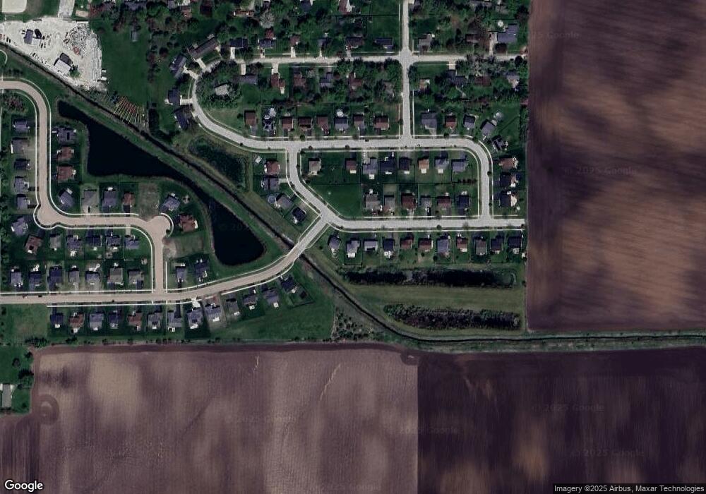
Map
Nearby Homes
- 429 E Dekalb Dr
- 678 S Elizabeth St
- 688 S Elizabeth St Unit 688
- 247 W Dekalb Dr
- 328 W Chester Dr
- 205 Center St
- 218 Virgil St
- 756 W Ashton Dr
- 752 W Ashton Dr
- 754 W Ashton Dr
- 2N879 Howard Rd
- 000 Winters Rd
- 48W201 Keslinger Rd
- 0 Winters Rd
- 5N487 County Line Rd
- 00 Welter Rd
- 49W972 Peterson Rd
- 448 Preston St
- 446 Preston St
- 513 Preston St
- 628 Settlement Dr
- 620 Settlement Dr
- Lot 31 Settlement Dr
- Lot 30 Settlement Dr
- Lot 28 Settlement Dr
- Lot 33 Settlement Dr
- LOT 35 Settlement Dr
- 632 Settlement Dr
- 636 Settlement Dr
- 629 Settlement Dr
- 509 Settlement Dr
- 129 W Ashton Dr
- 640 Settlement Dr
- 637 Settlement Dr
- 616 Walnut Ave
- 507 Settlement Dr
- 618 Walnut Ave
- 624 Walnut Ave
- 608 Walnut Ave
- 127 E Ashton Dr
Your Personal Tour Guide
Ask me questions while you tour the home.