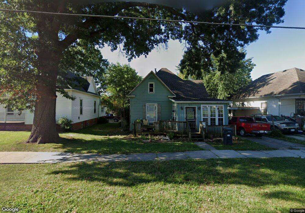
624 Taylor St Moberly, MO 65270
Estimated Value: $96,000 - $123,000
2
Beds
1
Bath
1,232
Sq Ft
$89/Sq Ft
Est. Value
About This Home
This home is located at 624 Taylor St, Moberly, MO 65270 and is currently estimated at $110,017, approximately $89 per square foot. 624 Taylor St is a home located in Randolph County with nearby schools including Moberly Senior High School, St. Pius X. Catholic School, and Maranatha Seventh-day Adventist School.
Ownership History
Date
Name
Owned For
Owner Type
Purchase Details
Closed on
May 6, 2019
Sold by
Flores Oscar and Flores Kirstina
Bought by
Saine Todd A
Current Estimated Value
Home Financials for this Owner
Home Financials are based on the most recent Mortgage that was taken out on this home.
Original Mortgage
$39,750
Outstanding Balance
$33,852
Interest Rate
4%
Mortgage Type
Purchase Money Mortgage
Estimated Equity
$76,165
Create a Home Valuation Report for This Property
The Home Valuation Report is an in-depth analysis detailing your home's value as well as a comparison with similar homes in the area
Home Values in the Area
Average Home Value in this Area
Purchase History
| Date | Buyer | Sale Price | Title Company |
|---|---|---|---|
| Saine Todd A | -- | None Available |
Source: Public Records
Mortgage History
| Date | Status | Borrower | Loan Amount |
|---|---|---|---|
| Open | Saine Todd A | $39,750 |
Source: Public Records
Tax History
| Year | Tax Paid | Tax Assessment Tax Assessment Total Assessment is a certain percentage of the fair market value that is determined by local assessors to be the total taxable value of land and additions on the property. | Land | Improvement |
|---|---|---|---|---|
| 2025 | $631 | $9,290 | $1,092 | $8,198 |
| 2024 | $6 | $8,660 | $950 | $7,710 |
| 2023 | $640 | $8,660 | $950 | $7,710 |
| 2022 | $597 | $8,290 | $950 | $7,340 |
| 2020 | $597 | $8,290 | $950 | $7,340 |
| 2019 | $602 | $8,390 | $950 | $7,440 |
| 2018 | $601 | $8,390 | $950 | $7,440 |
| 2017 | $599 | $8,390 | $0 | $0 |
| 2016 | $579 | $8,150 | $0 | $0 |
| 2014 | -- | $7,740 | $0 | $0 |
| 2013 | -- | $7,740 | $0 | $0 |
| 2012 | -- | $7,740 | $0 | $0 |
Source: Public Records
Map
Nearby Homes
- 722 Vincil St
- 712 Farror St
- 204 Bertley St
- 409 Barrow St
- 321 Farror St
- 537 Fulton Ave
- 216 Lotter St
- 619 Madison Ave
- 812 N Moulton St
- 101 N Ault St
- 609 Franklin Ave
- 628 Woodland Ave
- 523 Morehead St
- 512 Chandler St
- 1100 Stonebridge Ln
- Lot 11 Stonebridge Lane (Plat 2)
- Lot 10 Stonebridge Lane (Plat 2)
- 408 W Wightman St
- 216 S 5th St
- 309 S 4th St
Your Personal Tour Guide
Ask me questions while you tour the home.