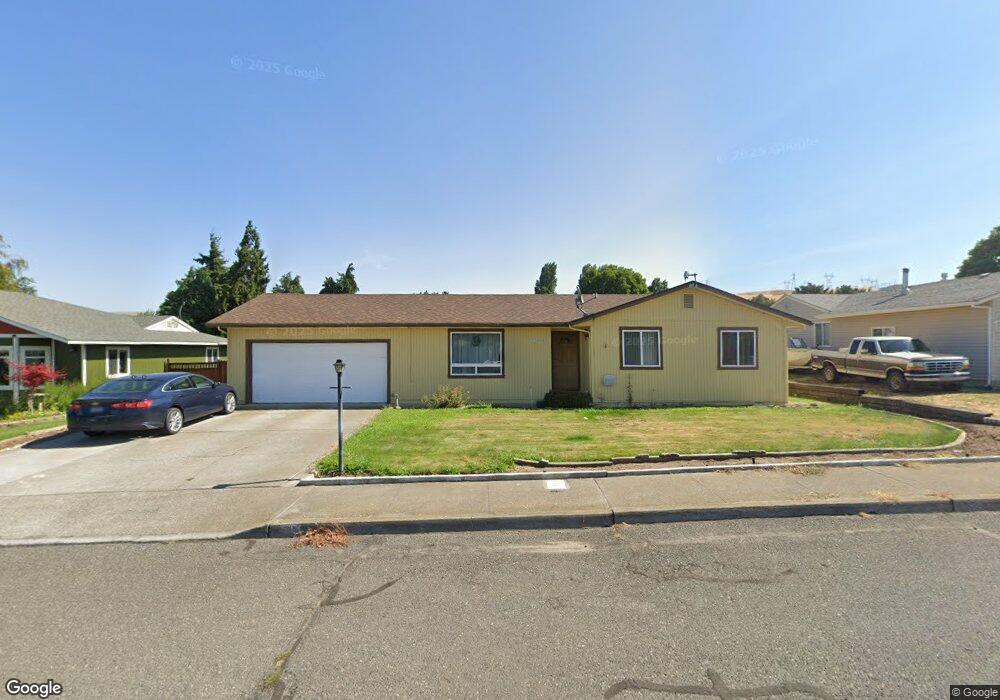
624 Wasco Dr the Dalles, OR 97058
Estimated Value: $407,245 - $495,000
3
Beds
2
Baths
1,476
Sq Ft
$310/Sq Ft
Est. Value
About This Home
This home is located at 624 Wasco Dr, the Dalles, OR 97058 and is currently estimated at $457,311, approximately $309 per square foot. 624 Wasco Dr is a home located in Wasco County with nearby schools including Dry Hollow Elementary School, The Dalles Middle School, and The Dalles High School.
Ownership History
Date
Name
Owned For
Owner Type
Purchase Details
Closed on
Jan 25, 2012
Sold by
Agidius Steven W and Agidius Dawn S
Bought by
Kublick Karen A and Woods Harold L
Current Estimated Value
Home Financials for this Owner
Home Financials are based on the most recent Mortgage that was taken out on this home.
Original Mortgage
$185,183
Outstanding Balance
$126,748
Interest Rate
3.87%
Mortgage Type
FHA
Estimated Equity
$330,563
Create a Home Valuation Report for This Property
The Home Valuation Report is an in-depth analysis detailing your home's value as well as a comparison with similar homes in the area
Home Values in the Area
Average Home Value in this Area
Purchase History
| Date | Buyer | Sale Price | Title Company |
|---|---|---|---|
| Kublick Karen A | $190,000 | None Available |
Source: Public Records
Mortgage History
| Date | Status | Borrower | Loan Amount |
|---|---|---|---|
| Open | Kublick Karen A | $185,183 |
Source: Public Records
Tax History Compared to Growth
Tax History
| Year | Tax Paid | Tax Assessment Tax Assessment Total Assessment is a certain percentage of the fair market value that is determined by local assessors to be the total taxable value of land and additions on the property. | Land | Improvement |
|---|---|---|---|---|
| 2024 | $3,708 | $206,004 | -- | -- |
| 2023 | $5,190 | $200,004 | $0 | $0 |
| 2022 | $7,153 | $28,450 | $0 | $0 |
| 2021 | $3,412 | $21,750 | $0 | $0 |
| 2020 | $3,328 | $21,750 | $0 | $0 |
| 2019 | $3,514 | $21,750 | $0 | $0 |
| 2018 | $3,416 | $172,525 | $0 | $0 |
| 2017 | $3,308 | $167,500 | $0 | $0 |
| 2016 | $3,099 | $162,621 | $0 | $0 |
| 2015 | $2,988 | $157,884 | $0 | $0 |
| 2014 | $2,791 | $153,285 | $0 | $0 |
Source: Public Records
Map
Nearby Homes
- 679 Brentwood Dr E
- 500 E Knoll Ct
- 512 E Knoll Ct
- 3103 Fremont St
- 936 Richmond St
- 1700 Lone Pine Blvd
- 192 Honeysuckle Ln
- 1300 Lone Pine Blvd
- 1500 Lone Pine Blvd
- 1400 Lone Pine Blvd
- 0 Lone Pine Ln
- 260 Lone Pine Ln Unit 2
- 2718 E 2nd St
- 240 Lone Pine Ln Unit 2
- 155 Southshore Ave
- 2803 E 12th St
- 112 Southshore Ave
- 125 Southshore Ln
- 122 123 Southshore Ln
- 3564 E 2nd St Unit 33