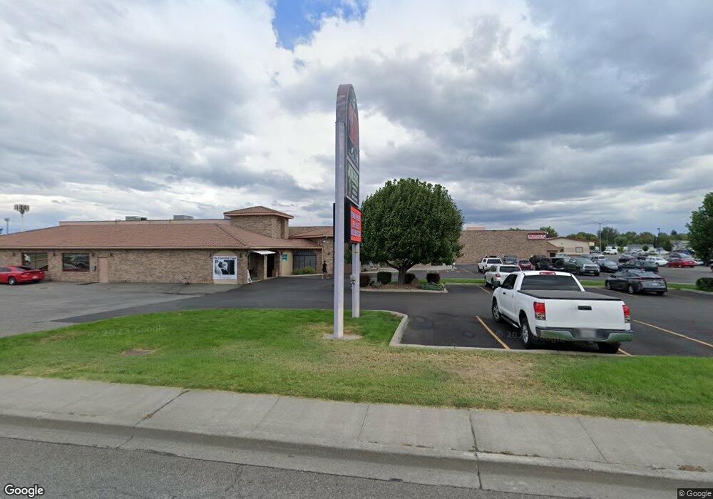
624 Wellsian Way Richland, WA 99352
--
Bed
--
Bath
44,983
Sq Ft
3.52
Acres
About This Home
This home is located at 624 Wellsian Way, Richland, WA 99352. 624 Wellsian Way is a home located in Benton County with nearby schools including Lewis & Clark Elementary School, Carmichael Middle School, and Richland High School.
Ownership History
Date
Name
Owned For
Owner Type
Purchase Details
Closed on
Aug 10, 2015
Sold by
Atomic Holdings Llc
Bought by
Store Funding Viii Llc
Home Financials for this Owner
Home Financials are based on the most recent Mortgage that was taken out on this home.
Original Mortgage
$3,325,000
Outstanding Balance
$2,616,871
Interest Rate
4.05%
Mortgage Type
Commercial
Purchase Details
Closed on
May 5, 2008
Sold by
Frank Mark C and Frank Barbara J
Bought by
Atomic Holdings Llc
Create a Home Valuation Report for This Property
The Home Valuation Report is an in-depth analysis detailing your home's value as well as a comparison with similar homes in the area
Home Values in the Area
Average Home Value in this Area
Purchase History
| Date | Buyer | Sale Price | Title Company |
|---|---|---|---|
| Store Funding Viii Llc | $3,324,043 | Frontier Title & Escrow Co | |
| Atomic Holdings Llc | -- | None Available |
Source: Public Records
Mortgage History
| Date | Status | Borrower | Loan Amount |
|---|---|---|---|
| Open | Store Funding Viii Llc | $3,325,000 |
Source: Public Records
Tax History Compared to Growth
Tax History
| Year | Tax Paid | Tax Assessment Tax Assessment Total Assessment is a certain percentage of the fair market value that is determined by local assessors to be the total taxable value of land and additions on the property. | Land | Improvement |
|---|---|---|---|---|
| 2024 | $28,163 | $3,036,720 | $525,830 | $2,510,890 |
| 2023 | $28,163 | $3,036,720 | $525,830 | $2,510,890 |
| 2022 | $33,276 | $2,951,080 | $510,510 | $2,440,570 |
| 2021 | $34,655 | $3,037,860 | $510,510 | $2,527,350 |
| 2020 | $40,530 | $3,037,860 | $510,510 | $2,527,350 |
| 2019 | $37,587 | $3,356,200 | $474,140 | $2,882,060 |
| 2018 | $44,954 | $3,356,200 | $474,140 | $2,882,060 |
| 2017 | $39,881 | $3,356,200 | $474,140 | $2,882,060 |
| 2016 | $19,651 | $3,356,200 | $474,140 | $2,882,060 |
| 2015 | $40,051 | $3,356,200 | $474,140 | $2,882,060 |
| 2014 | -- | $3,356,200 | $474,140 | $2,882,060 |
| 2013 | -- | $3,356,200 | $474,140 | $2,882,060 |
Source: Public Records
Map
Nearby Homes
- 504 Douglass Ave
- 713 Sanford Ave
- 901 Downing St
- 626 Snow Ave
- 947 Long Ave
- 1308 Swift Blvd
- 400 Barth Ave
- 302 Rossell Ave
- 709 Comstock St
- 513 Winslow Ave
- 1002 Sanford Ave
- 1088 Makah Ct
- 303 Bernard Ave
- 202 Davenport St
- 211 Wright Ave
- 213 Casey Ave
- 503 Wright Ave Unit B8
- 2209 Boise St
- 2120 Duportail St Unit 1
- 1116 Thayer Dr
- 1335 Lee Blvd
- 595 Stevens Dr
- 585 Stevens Dr
- 585 Stevens Dr Unit 595
- 1333 Gillespie St
- 514 Warehouse St
- 2310 Warehouse St
- 747 Stevens Dr
- 603 Goethals Dr
- 502 Wellsian Way
- 1320 Lee Blvd
- 524 Goethals Dr Unit 2
- 524 Goethals Dr Unit 524
- 522 Goethals Dr
- 528 Goethals Dr
- 520 Goethals Dr
- 1211 Gillespie St
- 1211 Gillespie St
- 797 Stevens Dr
- 516 Goethals Dr