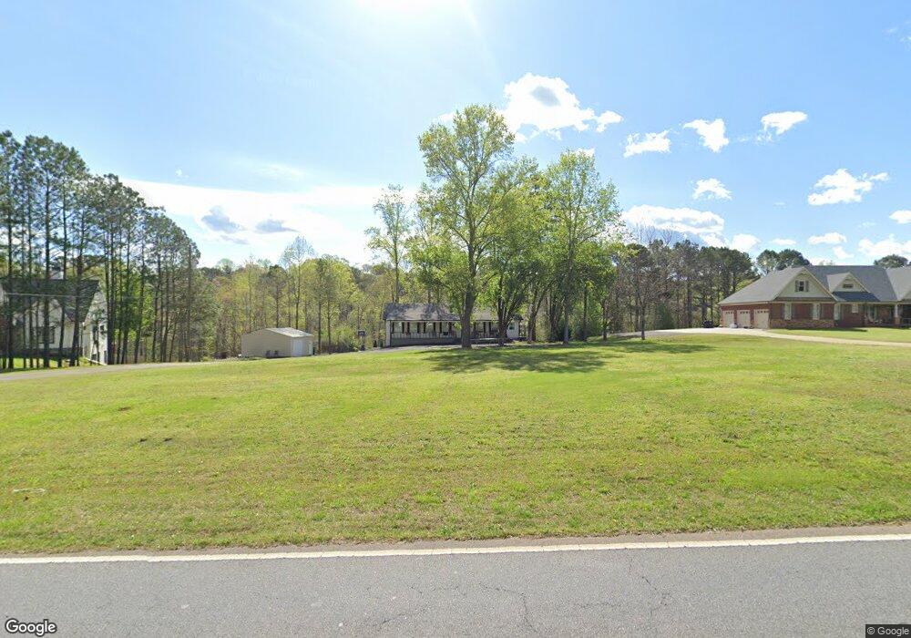
6240 Woodstock Rd Acworth, GA 30102
Oak Grove NeighborhoodEstimated Value: $391,000 - $454,000
3
Beds
2
Baths
1,664
Sq Ft
$250/Sq Ft
Est. Value
About This Home
This home is located at 6240 Woodstock Rd, Acworth, GA 30102 and is currently estimated at $415,879, approximately $249 per square foot. 6240 Woodstock Rd is a home located in Cherokee County with nearby schools including Oak Grove Elementary School, E. T. Booth Middle School, and Etowah High School.
Ownership History
Date
Name
Owned For
Owner Type
Purchase Details
Closed on
Jul 17, 2019
Sold by
Vega Arnoldo
Bought by
Velazquez Dennis J
Current Estimated Value
Purchase Details
Closed on
Feb 27, 2009
Sold by
Wilbur Ray L
Bought by
Vega Arnaldo
Home Financials for this Owner
Home Financials are based on the most recent Mortgage that was taken out on this home.
Original Mortgage
$167,994
Interest Rate
5.15%
Mortgage Type
FHA
Purchase Details
Closed on
Apr 13, 2006
Sold by
Wilbur Lecie I
Bought by
Wilbur Ray L and Page Violet
Create a Home Valuation Report for This Property
The Home Valuation Report is an in-depth analysis detailing your home's value as well as a comparison with similar homes in the area
Home Values in the Area
Average Home Value in this Area
Purchase History
| Date | Buyer | Sale Price | Title Company |
|---|---|---|---|
| Velazquez Dennis J | $40,000 | -- | |
| Vega Arnaldo | $170,300 | -- | |
| Wilbur Ray L | -- | -- |
Source: Public Records
Mortgage History
| Date | Status | Borrower | Loan Amount |
|---|---|---|---|
| Previous Owner | Vega Arnaldo | $167,994 |
Source: Public Records
Tax History Compared to Growth
Tax History
| Year | Tax Paid | Tax Assessment Tax Assessment Total Assessment is a certain percentage of the fair market value that is determined by local assessors to be the total taxable value of land and additions on the property. | Land | Improvement |
|---|---|---|---|---|
| 2025 | $3,750 | $156,952 | $35,480 | $121,472 |
| 2024 | $3,583 | $149,472 | $26,600 | $122,872 |
| 2023 | $3,028 | $143,752 | $26,600 | $117,152 |
| 2022 | $3,058 | $122,832 | $26,600 | $96,232 |
| 2021 | $2,216 | $80,272 | $22,720 | $57,552 |
| 2020 | $2,311 | $83,552 | $28,200 | $55,352 |
| 2019 | $2,748 | $98,920 | $46,680 | $52,240 |
| 2018 | $2,753 | $98,560 | $46,680 | $51,880 |
| 2017 | $2,648 | $235,400 | $43,960 | $50,200 |
| 2016 | $2,144 | $189,900 | $37,080 | $38,880 |
| 2015 | $2,181 | $191,200 | $37,080 | $39,400 |
| 2014 | $2,037 | $178,600 | $32,960 | $38,480 |
Source: Public Records
Map
Nearby Homes
- 6312 Woodstock Rd
- 626 Spanish Oak Dr
- 271 Oak Grove Way
- 302 Seth Way
- 313 Maltibie Dr
- 6390 Woodstock Rd
- 402 Royal Oak Dr
- 423 Royal Oak Dr
- 400 Sable Trace Cove
- 577 Oakside Place
- 4645 Highway 92
- 206 Cameron Ct
- 108 Creekwood Trail
- 100 Creekwood Trail
- 307 Queensbury Walk
- 148 Sable Trace Trail
- 4915 Highway 92
- 5574 Oak Grove Dr
- 4771 Highway 92
- 6224 Woodstock Rd
- 6280 Woodstock Rd
- 105 Lee Dr
- 6305 Woodstock Rd
- 6290 Woodstock Rd
- 6255 Woodstock Rd
- 6309 Woodstock Rd
- 6306 Woodstock Rd
- 214 Sable Trace Dr
- 6228 Woodstock Rd
- 212 Sable Trace Dr
- 210 Sable Trace Dr
- 6012 Kemp Dr
- 216 Sable Trace Dr
- 109 Grace Cir
- 208 Sable Trace Dr
- 6016 Kemp Dr
- 107 Grace Cir
- 6223 Woodstock Rd
- 6216 Woodstock Rd