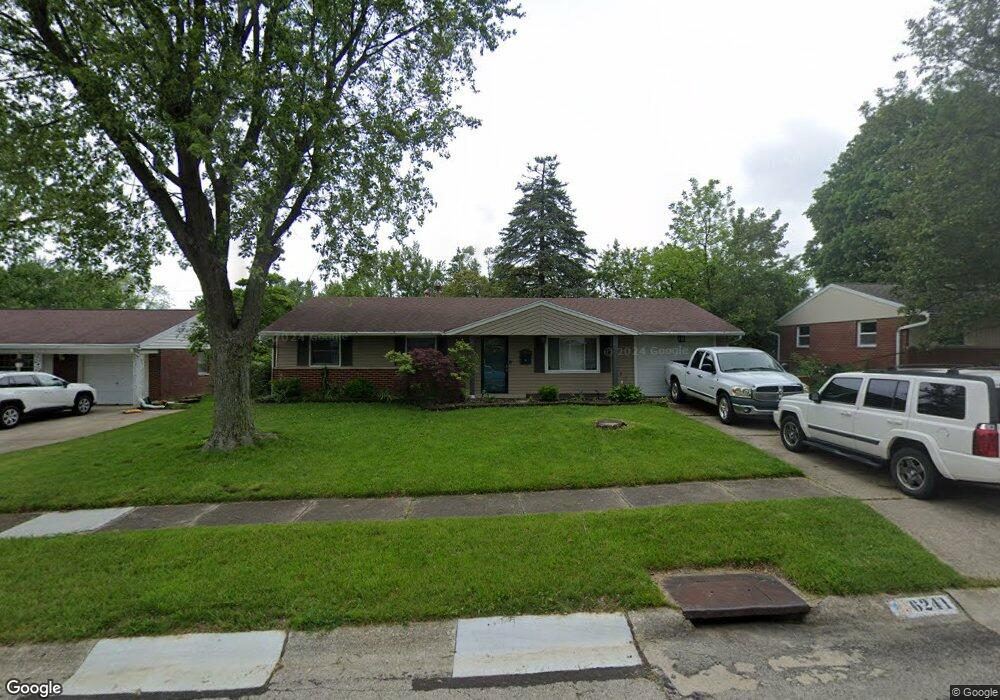
6241 Leawood Dr Dayton, OH 45424
Estimated Value: $175,000 - $196,000
3
Beds
2
Baths
1,080
Sq Ft
$169/Sq Ft
Est. Value
About This Home
This home is located at 6241 Leawood Dr, Dayton, OH 45424 and is currently estimated at $182,661, approximately $169 per square foot. 6241 Leawood Dr is a home located in Montgomery County with nearby schools including Wayne High School and Huber Heights Christian Academy.
Ownership History
Date
Name
Owned For
Owner Type
Purchase Details
Closed on
Nov 19, 2020
Sold by
Fennell Brandon G and King Diana
Bought by
Mazor Houses Llc
Current Estimated Value
Purchase Details
Closed on
Nov 30, 2016
Sold by
Driver Marliese
Bought by
Fenell Brandon G
Home Financials for this Owner
Home Financials are based on the most recent Mortgage that was taken out on this home.
Original Mortgage
$83,361
Interest Rate
4.5%
Mortgage Type
FHA
Purchase Details
Closed on
Aug 10, 1993
Sold by
Driver Donald Gene and Driver Marliese
Bought by
Driver Donald Gene and Driver Marliese
Create a Home Valuation Report for This Property
The Home Valuation Report is an in-depth analysis detailing your home's value as well as a comparison with similar homes in the area
Home Values in the Area
Average Home Value in this Area
Purchase History
| Date | Buyer | Sale Price | Title Company |
|---|---|---|---|
| Mazor Houses Llc | $115,000 | None Available | |
| Fenell Brandon G | $84,900 | M & M Title Company | |
| Driver Donald Gene | -- | -- |
Source: Public Records
Mortgage History
| Date | Status | Borrower | Loan Amount |
|---|---|---|---|
| Previous Owner | Fenell Brandon G | $83,361 |
Source: Public Records
Tax History Compared to Growth
Tax History
| Year | Tax Paid | Tax Assessment Tax Assessment Total Assessment is a certain percentage of the fair market value that is determined by local assessors to be the total taxable value of land and additions on the property. | Land | Improvement |
|---|---|---|---|---|
| 2024 | $2,562 | $46,560 | $10,150 | $36,410 |
| 2023 | $2,562 | $46,560 | $10,150 | $36,410 |
| 2022 | $2,257 | $32,080 | $7,000 | $25,080 |
| 2021 | $2,131 | $32,080 | $7,000 | $25,080 |
| 2020 | $2,188 | $32,080 | $7,000 | $25,080 |
| 2019 | $2,074 | $27,580 | $7,000 | $20,580 |
| 2018 | $2,081 | $27,580 | $7,000 | $20,580 |
| 2017 | $2,067 | $27,580 | $7,000 | $20,580 |
| 2016 | $1,309 | $25,570 | $7,000 | $18,570 |
| 2015 | $1,293 | $25,570 | $7,000 | $18,570 |
| 2014 | $1,293 | $25,570 | $7,000 | $18,570 |
| 2012 | -- | $28,920 | $8,750 | $20,170 |
Source: Public Records
Map
Nearby Homes
- 7371 Damascus Dr
- 7150 Harshmanville Rd
- 6447 Highbury Rd
- 7126 Mandrake Dr
- 6245 Longford Rd
- 6150 Taylorsville Rd
- 6601 Grovehill Dr
- 6605 Highbury Rd
- 6946 Hubbard Dr
- 6800 Cicero Ct
- 6717 Alter Rd
- 7247 Camrose Ct
- 7854 Harshmanville Rd
- 7866 Harshmanville Rd
- 6811 Highbury Rd
- 7833 Harshmanville Rd
- 6681 Spokane Dr
- 6701 Springport Way
- 5582 Camerford Dr
- 6673 Celestine St
- 6235 Leawood Dr
- 6247 Leawood Dr
- 6312 Larcomb Dr
- 6306 Larcomb Dr
- 6318 Larcomb Dr
- 6229 Leawood Dr
- 6253 Leawood Dr
- 6244 Leawood Dr
- 6224 Larcomb Dr
- 6238 Leawood Dr
- 6324 Larcomb Dr
- 6250 Leawood Dr
- 6232 Leawood Dr
- 6223 Leawood Dr
- 6259 Leawood Dr
- 6218 Larcomb Dr
- 6256 Leawood Dr
- 6226 Leawood Dr
- 6330 Larcomb Dr
- 6410 Highbury Rd