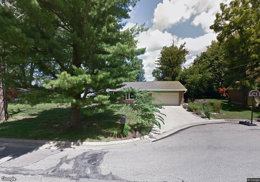
6242 Timothy Ln Oxford, OH 45056
Estimated Value: $288,578 - $315,000
4
Beds
2
Baths
1,848
Sq Ft
$162/Sq Ft
Est. Value
About This Home
This home is located at 6242 Timothy Ln, Oxford, OH 45056 and is currently estimated at $298,895, approximately $161 per square foot. 6242 Timothy Ln is a home located in Butler County with nearby schools including Talawanda Middle School, Talawanda High School, and Mcguffey Montessori School.
Ownership History
Date
Name
Owned For
Owner Type
Purchase Details
Closed on
Jun 3, 2010
Sold by
Pontius Barbara S
Bought by
Pohlabel Cathy G
Current Estimated Value
Home Financials for this Owner
Home Financials are based on the most recent Mortgage that was taken out on this home.
Original Mortgage
$152,192
Outstanding Balance
$102,797
Interest Rate
5.13%
Mortgage Type
FHA
Estimated Equity
$196,098
Create a Home Valuation Report for This Property
The Home Valuation Report is an in-depth analysis detailing your home's value as well as a comparison with similar homes in the area
Home Values in the Area
Average Home Value in this Area
Purchase History
| Date | Buyer | Sale Price | Title Company |
|---|---|---|---|
| Pohlabel Cathy G | $155,000 | Attorney |
Source: Public Records
Mortgage History
| Date | Status | Borrower | Loan Amount |
|---|---|---|---|
| Open | Pohlabel Cathy G | $152,192 |
Source: Public Records
Tax History Compared to Growth
Tax History
| Year | Tax Paid | Tax Assessment Tax Assessment Total Assessment is a certain percentage of the fair market value that is determined by local assessors to be the total taxable value of land and additions on the property. | Land | Improvement |
|---|---|---|---|---|
| 2024 | $1,544 | $87,320 | $15,340 | $71,980 |
| 2023 | $3,089 | $87,320 | $15,340 | $71,980 |
| 2022 | $2,710 | $63,950 | $15,340 | $48,610 |
| 2021 | $2,365 | $63,950 | $15,340 | $48,610 |
| 2020 | $2,473 | $63,950 | $15,340 | $48,610 |
| 2019 | $4,350 | $57,590 | $15,610 | $41,980 |
| 2018 | $2,348 | $57,590 | $15,610 | $41,980 |
| 2017 | $2,111 | $57,590 | $15,610 | $41,980 |
| 2016 | $1,988 | $52,490 | $15,610 | $36,880 |
| 2015 | $2,023 | $52,490 | $15,610 | $36,880 |
| 2014 | $2,135 | $52,490 | $15,610 | $36,880 |
| 2013 | $2,135 | $54,410 | $15,610 | $38,800 |
Source: Public Records
Map
Nearby Homes
- 6171 Vereker Dr
- 1020 Tollgate Dr
- 7 Robin Ct
- 100 Hilltop Rd
- 118 Hilltop Rd
- 6101 Contreras Rd
- 5999 Contreras Rd
- 509 White Oak Dr
- 446 Emerald Woods Dr
- 620 Brill Dr
- 616 Brill Dr
- 111 Prevalent Dr
- 5 Quail Ridge Dr
- 141 Prevalent Dr
- 715 W Chestnut St
- 4 Olde Stone Ct
- 335 N Locust St
- 112 S Elm St
- 812 Winding Brook Dr
- 51 Savannah Dr
- 6252 Timothy Ln
- 6232 Timothy Ln
- 6243 Devonshire Dr
- 6253 Devonshire Dr
- 6233 Devonshire Dr
- 125 Fieldcrest Dr
- 6243 Timothy Ln
- 6253 Timothy Ln
- 6233 Timothy Ln
- 120 Ridge Ave
- 109 Fieldcrest Dr
- 130 Ridge Ave
- 110 Ridge Ave
- 109 Fieldcrest Ave
- 6263 Timothy Ln
- 210 Ridge Ave
- 100 Ridge Ave
- 100 Ridge Ave Unit 2
- 100 Ridge Ave Unit 8
- 100 Ridge Ave Unit 5