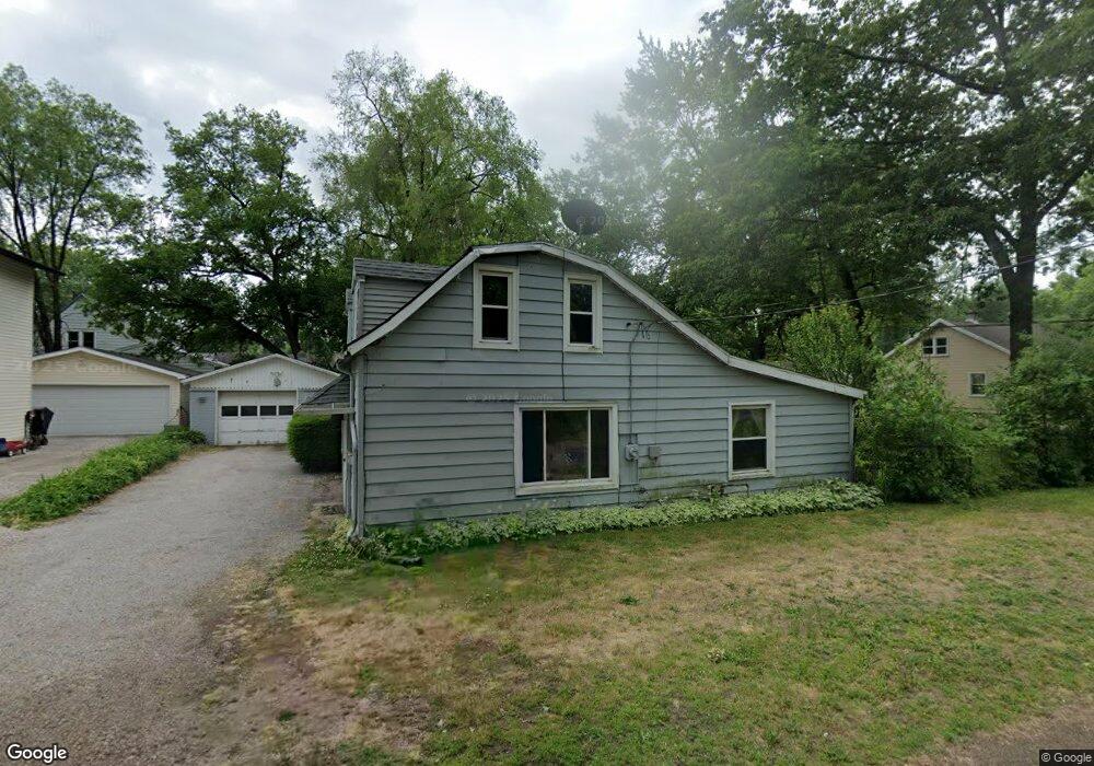
6243 Judge Dr Toledo, OH 43615
Reynolds Corners NeighborhoodEstimated Value: $121,000 - $127,000
3
Beds
1
Bath
1,188
Sq Ft
$104/Sq Ft
Est. Value
About This Home
This home is located at 6243 Judge Dr, Toledo, OH 43615 and is currently estimated at $123,319, approximately $103 per square foot. 6243 Judge Dr is a home located in Lucas County with nearby schools including McTigue Elementary School, Rogers High School, and Horizon Science Academy-Springfield.
Ownership History
Date
Name
Owned For
Owner Type
Purchase Details
Closed on
Jun 25, 2007
Sold by
Sailer Jerry Floyd
Bought by
Crisp Nancy L
Current Estimated Value
Home Financials for this Owner
Home Financials are based on the most recent Mortgage that was taken out on this home.
Original Mortgage
$64,900
Outstanding Balance
$39,862
Interest Rate
6.26%
Mortgage Type
Purchase Money Mortgage
Estimated Equity
$83,457
Purchase Details
Closed on
Aug 29, 2006
Sold by
Green Dale S and Green Joanne M
Bought by
Sailer Jerry Floyd
Purchase Details
Closed on
Oct 1, 2003
Sold by
Pledged Property Ii Llc
Bought by
Green Dale S and Green Joanne M
Purchase Details
Closed on
Apr 13, 2003
Sold by
Bauhaus Brigette
Bought by
Pledged Property Ii Llc
Create a Home Valuation Report for This Property
The Home Valuation Report is an in-depth analysis detailing your home's value as well as a comparison with similar homes in the area
Home Values in the Area
Average Home Value in this Area
Purchase History
| Date | Buyer | Sale Price | Title Company |
|---|---|---|---|
| Crisp Nancy L | $64,900 | Northern United Title Svcs | |
| Sailer Jerry Floyd | $51,500 | None Available | |
| Green Dale S | $13,333 | Magee Title Agency | |
| Pledged Property Ii Llc | $53,334 | -- |
Source: Public Records
Mortgage History
| Date | Status | Borrower | Loan Amount |
|---|---|---|---|
| Open | Crisp Nancy L | $64,900 |
Source: Public Records
Tax History Compared to Growth
Tax History
| Year | Tax Paid | Tax Assessment Tax Assessment Total Assessment is a certain percentage of the fair market value that is determined by local assessors to be the total taxable value of land and additions on the property. | Land | Improvement |
|---|---|---|---|---|
| 2024 | $883 | $23,450 | $6,300 | $17,150 |
| 2023 | $1,510 | $18,375 | $5,775 | $12,600 |
| 2022 | $1,476 | $18,375 | $5,775 | $12,600 |
| 2021 | $1,533 | $18,375 | $5,775 | $12,600 |
| 2020 | $1,519 | $15,120 | $4,760 | $10,360 |
| 2019 | $1,441 | $15,120 | $4,760 | $10,360 |
| 2018 | $1,496 | $15,120 | $4,760 | $10,360 |
| 2017 | $1,431 | $14,945 | $4,900 | $10,045 |
| 2016 | $1,481 | $42,700 | $14,000 | $28,700 |
| 2015 | $1,534 | $42,700 | $14,000 | $28,700 |
| 2014 | -- | $14,950 | $4,900 | $10,050 |
| 2013 | $940 | $14,950 | $4,900 | $10,050 |
Source: Public Records
Map
Nearby Homes
- 1032 Saturn Dr
- 6324 Bapst Ave
- 312 Hayes Rd
- 419 N Holland Sylvania Rd
- 5873 Nebraska Ave
- 1715 Brooklynn Park W
- 1709 Acorn Dr
- 5805 Fryer Ave
- 6106 Hill Ave
- 6339 Hill Ave
- 5845 Cook Dr
- 127 N Dorcas Rd
- 428 Deline Dr
- 6607 Hill Ave
- 1911 N Holland Sylvania Rd
- 2004 Oakside Rd
- 2015 Oakside Rd
- 2010 Oakside Rd
- 1966 Devinci Dr
- 4860 Airport Hwy