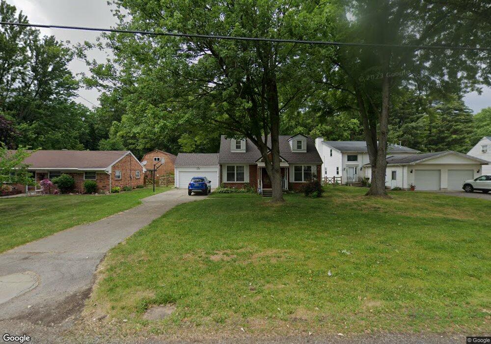
6244 Reo St Toledo, OH 43615
Reynolds Corners NeighborhoodEstimated Value: $198,000 - $212,833
3
Beds
2
Baths
1,534
Sq Ft
$133/Sq Ft
Est. Value
About This Home
This home is located at 6244 Reo St, Toledo, OH 43615 and is currently estimated at $204,708, approximately $133 per square foot. 6244 Reo St is a home located in Lucas County with nearby schools including McTigue Elementary School, Rogers High School, and Wildwood Environmental Academy.
Ownership History
Date
Name
Owned For
Owner Type
Purchase Details
Closed on
Jun 18, 2010
Sold by
Mick Mary M
Bought by
Martin Shawn L and Martin Danielle R
Current Estimated Value
Home Financials for this Owner
Home Financials are based on the most recent Mortgage that was taken out on this home.
Original Mortgage
$89,790
Interest Rate
4.86%
Mortgage Type
FHA
Create a Home Valuation Report for This Property
The Home Valuation Report is an in-depth analysis detailing your home's value as well as a comparison with similar homes in the area
Home Values in the Area
Average Home Value in this Area
Purchase History
| Date | Buyer | Sale Price | Title Company |
|---|---|---|---|
| Martin Shawn L | $91,000 | Chicago Title Insurance Co |
Source: Public Records
Mortgage History
| Date | Status | Borrower | Loan Amount |
|---|---|---|---|
| Closed | Martin Shawn L | $89,790 |
Source: Public Records
Tax History Compared to Growth
Tax History
| Year | Tax Paid | Tax Assessment Tax Assessment Total Assessment is a certain percentage of the fair market value that is determined by local assessors to be the total taxable value of land and additions on the property. | Land | Improvement |
|---|---|---|---|---|
| 2024 | $1,654 | $53,375 | $7,805 | $45,570 |
| 2023 | $2,894 | $44,450 | $5,810 | $38,640 |
| 2022 | $2,877 | $44,450 | $5,810 | $38,640 |
| 2021 | $2,973 | $44,450 | $5,810 | $38,640 |
| 2020 | $2,833 | $37,100 | $4,830 | $32,270 |
| 2019 | $2,744 | $37,100 | $4,830 | $32,270 |
| 2018 | $2,752 | $37,100 | $4,830 | $32,270 |
| 2017 | $2,621 | $33,810 | $7,035 | $26,775 |
| 2016 | $2,627 | $96,600 | $20,100 | $76,500 |
| 2015 | $2,637 | $96,600 | $20,100 | $76,500 |
| 2014 | $2,127 | $33,820 | $7,040 | $26,780 |
| 2013 | $2,127 | $33,820 | $7,040 | $26,780 |
Source: Public Records
Map
Nearby Homes
- 6130 White Oak Dr
- 6339 Hill Ave
- 6043 Reo St
- 426 Cheswick Rd
- 352 Cheswick St
- 622 Butternut Ln
- 324 Harefoote St
- 6528 Hill Ave
- 640 Quigley St
- 642 Diana Dr
- 6324 Bapst Ave
- 343 S Mccord Rd
- 427 S Mccord Rd
- 312 Hayes Rd
- 617 & 621 S Mccord Rd
- 508 Crystal Lake Dr
- 127 N Dorcas Rd
- 419 N Holland Sylvania Rd
- 715 S Holland Sylvania Rd
- 715 S Holland Sylvania Rd Unit 88