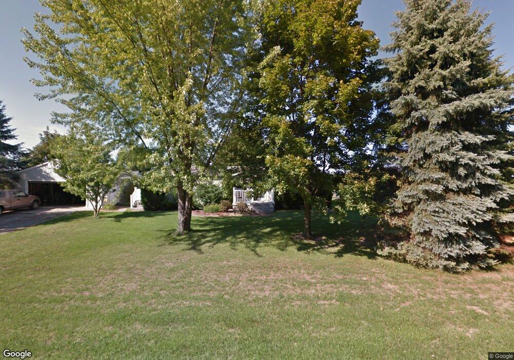
6245 Baker Rd Bridgeport, MI 48722
Estimated Value: $138,000 - $190,000
3
Beds
2
Baths
1,643
Sq Ft
$102/Sq Ft
Est. Value
About This Home
This home is located at 6245 Baker Rd, Bridgeport, MI 48722 and is currently estimated at $167,000, approximately $101 per square foot. 6245 Baker Rd is a home located in Saginaw County with nearby schools including Thomas White School, Martin G. Atkins Elementary School, and Bridgeport High School.
Create a Home Valuation Report for This Property
The Home Valuation Report is an in-depth analysis detailing your home's value as well as a comparison with similar homes in the area
Home Values in the Area
Average Home Value in this Area
Tax History Compared to Growth
Tax History
| Year | Tax Paid | Tax Assessment Tax Assessment Total Assessment is a certain percentage of the fair market value that is determined by local assessors to be the total taxable value of land and additions on the property. | Land | Improvement |
|---|---|---|---|---|
| 2025 | $2,227 | $89,600 | $0 | $0 |
| 2024 | $582 | $86,600 | $0 | $0 |
| 2023 | $554 | $77,500 | $0 | $0 |
| 2022 | $1,867 | $68,800 | $0 | $0 |
| 2021 | $1,722 | $60,400 | $0 | $0 |
| 2020 | $1,669 | $55,800 | $0 | $0 |
| 2019 | $1,595 | $52,400 | $7,900 | $44,500 |
| 2018 | $483 | $52,300 | $0 | $0 |
| 2017 | $1,445 | $51,900 | $0 | $0 |
| 2016 | $1,557 | $47,900 | $0 | $0 |
| 2014 | -- | $42,000 | $0 | $35,200 |
| 2013 | -- | $41,700 | $0 | $0 |
Source: Public Records
Map
Nearby Homes
- 5205 Baker Rd
- 5885 McGrandy Rd
- 0 VL S Airport Rd
- V/L S Airport Rd
- 4719 Baker Rd
- 6605 Bridgeport Hwy
- 4694 King Rd
- 6267 Junction Rd
- Parcel E W Rolling Hills Dr
- Parcel B W Rolling Hills Dr
- Parcel D W Rolling Hills Dr
- Parcel F W Rolling Hills Dr
- Parcel C W Rolling Hills Dr
- 6412 Tin Lizzy Ln
- 3927 State St
- 4705 Weiss Rd
- 3838 Sherman St
- 3800 Jim Dr
- 4333 Riverview Dr
- 4051 Old King Rd