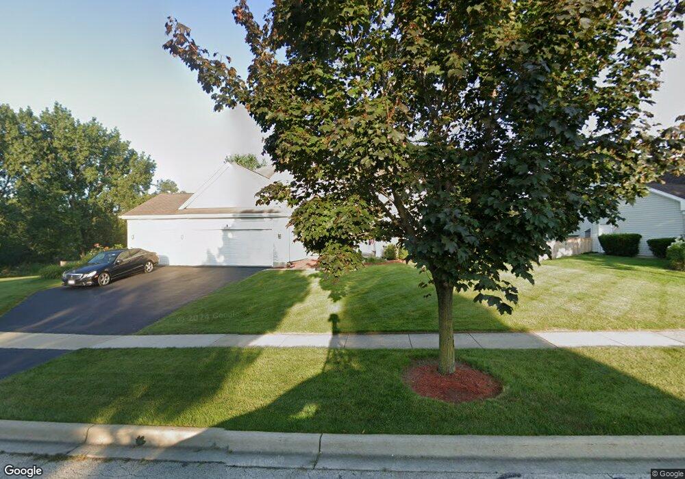
6245 Murifield Dr Gurnee, IL 60031
Estimated Value: $591,000 - $660,000
4
Beds
3
Baths
3,227
Sq Ft
$192/Sq Ft
Est. Value
About This Home
This home is located at 6245 Murifield Dr, Gurnee, IL 60031 and is currently estimated at $620,121, approximately $192 per square foot. 6245 Murifield Dr is a home located in Lake County with nearby schools including Woodland Primary School, Woodland Elementary School, and Woodland Intermediate School.
Ownership History
Date
Name
Owned For
Owner Type
Purchase Details
Closed on
Aug 6, 2003
Sold by
Phillips Henry N and Phillips Vicki L
Bought by
Wasinger Edwin and Wasinger Julie
Current Estimated Value
Home Financials for this Owner
Home Financials are based on the most recent Mortgage that was taken out on this home.
Original Mortgage
$377,000
Interest Rate
6.43%
Mortgage Type
Unknown
Purchase Details
Closed on
Dec 17, 1998
Sold by
Chicago Title Land Trust Company
Bought by
Phillips Henry N and Phillips Vicki L
Home Financials for this Owner
Home Financials are based on the most recent Mortgage that was taken out on this home.
Original Mortgage
$200,000
Interest Rate
6.79%
Create a Home Valuation Report for This Property
The Home Valuation Report is an in-depth analysis detailing your home's value as well as a comparison with similar homes in the area
Home Values in the Area
Average Home Value in this Area
Purchase History
| Date | Buyer | Sale Price | Title Company |
|---|---|---|---|
| Wasinger Edwin | $471,500 | -- | |
| Phillips Henry N | $351,000 | 1St American Title |
Source: Public Records
Mortgage History
| Date | Status | Borrower | Loan Amount |
|---|---|---|---|
| Previous Owner | Wasinger Edwin | $377,000 | |
| Previous Owner | Phillips Henry N | $200,000 |
Source: Public Records
Tax History
| Year | Tax Paid | Tax Assessment Tax Assessment Total Assessment is a certain percentage of the fair market value that is determined by local assessors to be the total taxable value of land and additions on the property. | Land | Improvement |
|---|---|---|---|---|
| 2024 | $16,902 | $193,873 | $38,262 | $155,611 |
| 2023 | $15,204 | $179,995 | $35,523 | $144,472 |
| 2022 | $15,204 | $161,979 | $35,531 | $126,448 |
| 2021 | $13,751 | $155,480 | $34,105 | $121,375 |
| 2020 | $13,313 | $151,659 | $33,267 | $118,392 |
| 2019 | $12,938 | $147,256 | $32,301 | $114,955 |
| 2018 | $13,544 | $155,665 | $30,858 | $124,807 |
| 2017 | $13,504 | $151,205 | $29,974 | $121,231 |
| 2016 | $13,310 | $144,472 | $28,639 | $115,833 |
| 2015 | $12,979 | $137,018 | $27,161 | $109,857 |
| 2014 | $13,063 | $123,784 | $26,794 | $96,990 |
| 2012 | $12,369 | $139,894 | $26,994 | $112,900 |
Source: Public Records
Map
Nearby Homes
- 6296 Doral Dr
- 6150 Oakmont Ln
- 6480 Doral Dr
- 6167 Golfview Dr
- 256 Hill n Dale Ct
- 598 Dunham Rd Unit U297
- 650 Whitney Ct Unit 211
- 690 Chandler Rd Unit 302
- 755 Darnell Ln
- 33430 N Hunt Club Rd
- 748 Chandler Rd
- 6230 Old Farm Ln
- 758 Chandler Rd Unit U159
- 6063 Morningside Ct
- 84 Foxboro Ln Unit 3
- 705 Colby Ct Unit U78
- 727 Colby Ct Unit U57
- 17150 W Washington St
- 920 Vose Dr Unit 304
- 920 Vose Dr Unit 106
- 6250 Doral Dr
- 6265 Murifield Dr
- 6260 Murifield Dr
- 6275 Murifield Dr
- 6270 Murifield Dr
- 6260 Doral Dr
- 6280 Murifield Dr
- 6285 Murifield Dr
- 6264 Doral Dr
- 6263 Doral Dr
- 6267 Doral Dr
- 6271 Doral Dr
- 6290 Murifield Dr
- 6268 Doral Dr
- 6275 Doral Dr
- 6295 Murifield Dr
- 6279 Doral Dr
- 6272 Doral Dr
- 6300 Murifield Dr
- 6283 Doral Dr
Your Personal Tour Guide
Ask me questions while you tour the home.