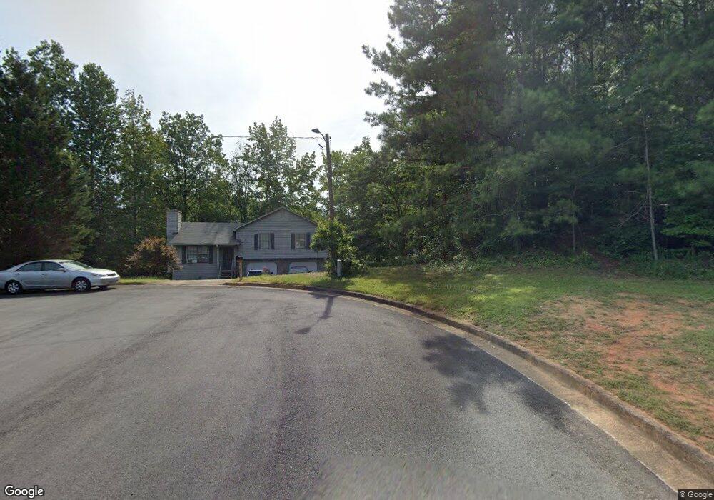
6247 Tucker Ln Unit 1 Union City, GA 30291
Estimated Value: $187,000 - $236,000
3
Beds
2
Baths
1,214
Sq Ft
$177/Sq Ft
Est. Value
About This Home
This home is located at 6247 Tucker Ln Unit 1, Union City, GA 30291 and is currently estimated at $214,322, approximately $176 per square foot. 6247 Tucker Ln Unit 1 is a home located in Fulton County with nearby schools including Liberty Point Elementary School, Camp Creek Middle School, and Langston Hughes High School.
Ownership History
Date
Name
Owned For
Owner Type
Purchase Details
Closed on
Aug 31, 1994
Sold by
First Family Inc
Bought by
Phadongsy Bounpheng
Current Estimated Value
Home Financials for this Owner
Home Financials are based on the most recent Mortgage that was taken out on this home.
Original Mortgage
$63,701
Interest Rate
8.37%
Mortgage Type
FHA
Create a Home Valuation Report for This Property
The Home Valuation Report is an in-depth analysis detailing your home's value as well as a comparison with similar homes in the area
Home Values in the Area
Average Home Value in this Area
Purchase History
| Date | Buyer | Sale Price | Title Company |
|---|---|---|---|
| Phadongsy Bounpheng | $65,000 | -- |
Source: Public Records
Mortgage History
| Date | Status | Borrower | Loan Amount |
|---|---|---|---|
| Closed | Phadongsy Bounpheng | $63,701 |
Source: Public Records
Tax History Compared to Growth
Tax History
| Year | Tax Paid | Tax Assessment Tax Assessment Total Assessment is a certain percentage of the fair market value that is determined by local assessors to be the total taxable value of land and additions on the property. | Land | Improvement |
|---|---|---|---|---|
| 2025 | $889 | $69,280 | $17,160 | $52,120 |
| 2023 | $1,418 | $50,240 | $9,640 | $40,600 |
| 2022 | $518 | $50,240 | $9,640 | $40,600 |
| 2021 | $381 | $33,480 | $6,720 | $26,760 |
| 2020 | $379 | $33,080 | $6,640 | $26,440 |
| 2019 | $699 | $25,040 | $5,000 | $20,040 |
| 2018 | $324 | $19,960 | $2,720 | $17,240 |
| 2017 | $338 | $19,960 | $2,720 | $17,240 |
| 2016 | $395 | $23,080 | $4,400 | $18,680 |
| 2015 | $759 | $23,080 | $4,400 | $18,680 |
| 2014 | $226 | $13,960 | $1,760 | $12,200 |
Source: Public Records
Map
Nearby Homes
- 6320 Littleton Dr
- 0 Highpoint Rd Unit 10553938
- 5135 Hilltop Dr
- 6030 Stonewall Dr
- 000 Highpoint Rd
- 99 Highpoint Rd
- 0 Lakeside Dr Unit 22475152
- 0 Lakeside Dr Unit 7515650
- 3227 Diamond Bluff
- 4818 Sandstone Ln Unit 5
- 5947 Rock Rd
- 6109 Roosevelt Hwy
- 5552 Lakeside Dr
- 4812 Station Dr Unit 2
- 4811 Station Dr Unit 35
- 4817 Station Ln Unit 32
- 6000 Diamond Ln
- 6024 Diamond Ln
- Beaufort Plan at Stonewall Station
- Cecil Plan at The Enclave at Stonewall Station
- 6248 Tucker Ln
- 6230 Tucker Ln
- 6230 Tucker Ln
- 6227 Tucker Ln
- 6220 Tucker Ln
- 6217 Tucker Ln
- 6210 Tucker Ln
- 6207 Tucker Ln
- 5041 Cottage Grove Place
- 6200 Tucker Ln
- 5039 Cottage Grove Place
- 6197 Tucker Ln
- 5095 Cochran Dr
- 5105 Cochran Dr Unit 2
- 5042 Cottage Grove Place
- 5085 Cochran Dr Unit 2
- 5115 Cochran Dr
- 5037 Cottage Grove Place
- 5075 Cochran Dr Unit 2
- 6187 Tucker Ln