62481 E Rangewood Dr Unit 32 Tucson, AZ 85739
Estimated Value: $615,000 - $759,000
Studio
--
Bath
3,226
Sq Ft
$209/Sq Ft
Est. Value
About This Home
This home is located at 62481 E Rangewood Dr Unit 32, Tucson, AZ 85739 and is currently estimated at $675,103, approximately $209 per square foot. 62481 E Rangewood Dr Unit 32 is a home located in Pinal County.
Ownership History
Date
Name
Owned For
Owner Type
Purchase Details
Closed on
Aug 7, 2024
Sold by
Rice Bart F and Rice Jane P
Bought by
Bart F And Jane P Rice Living Trust and Rice
Current Estimated Value
Purchase Details
Closed on
May 1, 2002
Sold by
First American Title Insurance Company
Bought by
Rice Bart F and Rice Jane P
Home Financials for this Owner
Home Financials are based on the most recent Mortgage that was taken out on this home.
Original Mortgage
$125,000
Interest Rate
6.69%
Mortgage Type
New Conventional
Create a Home Valuation Report for This Property
The Home Valuation Report is an in-depth analysis detailing your home's value as well as a comparison with similar homes in the area
Home Values in the Area
Average Home Value in this Area
Purchase History
| Date | Buyer | Sale Price | Title Company |
|---|---|---|---|
| Bart F And Jane P Rice Living Trust | -- | None Listed On Document | |
| Rice Bart F | $491,173 | -- |
Source: Public Records
Mortgage History
| Date | Status | Borrower | Loan Amount |
|---|---|---|---|
| Previous Owner | Rice Bart F | $125,000 |
Source: Public Records
Tax History
| Year | Tax Paid | Tax Assessment Tax Assessment Total Assessment is a certain percentage of the fair market value that is determined by local assessors to be the total taxable value of land and additions on the property. | Land | Improvement |
|---|---|---|---|---|
| 2025 | $4,210 | $59,685 | -- | -- |
| 2024 | $4,487 | $60,478 | -- | -- |
| 2023 | $4,740 | $49,049 | $16,000 | $33,049 |
| 2022 | $4,487 | $41,066 | $16,000 | $25,066 |
| 2021 | $4,554 | $37,547 | $0 | $0 |
| 2020 | $4,716 | $37,840 | $0 | $0 |
| 2019 | $4,607 | $37,609 | $0 | $0 |
| 2018 | $4,523 | $36,909 | $0 | $0 |
| 2017 | $4,661 | $37,840 | $0 | $0 |
| 2016 | $4,679 | $38,477 | $16,000 | $22,477 |
Source: Public Records
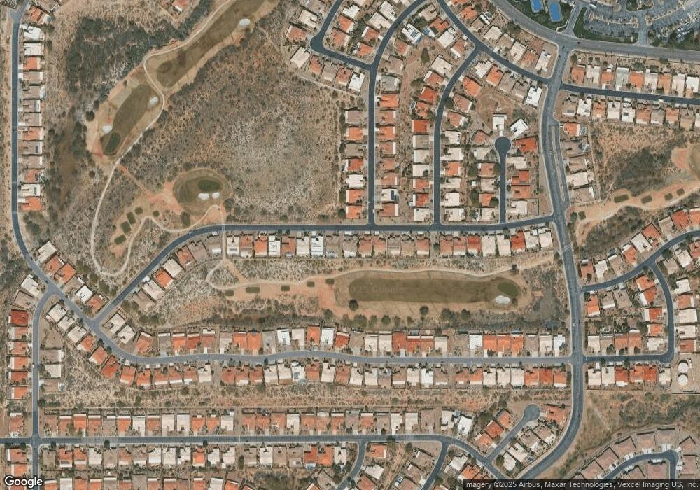
Map
Nearby Homes
- 62562 E Amberwood Dr
- 38994 S Windwood Dr
- 62583 E Amberwood Dr
- 62363 E Amberwood Dr
- 39450 S Mchaney Ct
- 62187 E Amberwood Dr
- 62825 E Amberwood Dr Unit 36
- 62085 E Amberwood Dr Unit 36
- 62788 E Flower Ridge Dr
- 62834 E Flower Ridge Dr
- 62893 E Flower Ridge Dr
- 39474 S Summerwood Dr
- 39316 S Sand Crest Dr Unit 36A
- 39758 S Windwood Dr
- 62896 E Thunder Rock Dr
- 62060 E Valley Crest Ct
- 39298 S Winding Trail Dr
- 62797 E Thunder Rock Dr
- 38665 S Sand Crest Dr
- 63134 E Flower Ridge Dr
- 62501 E Rangewood Dr
- 62459 E Rangewood Dr
- 62521 E Rangewood Dr
- 62439 E Rangewood Dr
- 39116 S Moonwood Dr
- 62541 E Rangewood Dr Unit 32
- 62419 E Rangewood Dr
- 39092 S Moonwood Dr Unit 32
- 39117 S Moonwood Dr Unit 32
- 62561 E Rangewood Dr
- 62399 E Rangewood Dr
- 39091 S Moonwood Dr
- 39068 S Moonwood Dr Unit 32
- 62581 E Rangewood Dr
- 39126 S Windwood Dr
- 62379 E Rangewood Dr
- 39067 S Moonwood Dr
- 39044 S Moonwood Dr Unit 32
- 39104 S Windwood Dr Unit 32
- 62359 E Rangewood Dr Unit 36
Your Personal Tour Guide
Ask me questions while you tour the home.