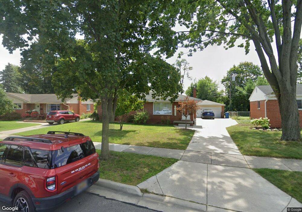
625 Byron St Unit Bldg-Unit Plymouth, MI 48170
Estimated Value: $336,000 - $404,516
3
Beds
3
Baths
1,050
Sq Ft
$361/Sq Ft
Est. Value
About This Home
This home is located at 625 Byron St Unit Bldg-Unit, Plymouth, MI 48170 and is currently estimated at $378,629, approximately $360 per square foot. 625 Byron St Unit Bldg-Unit is a home located in Wayne County with nearby schools including Canton High School, Smith Elementary School, and East Middle School.
Ownership History
Date
Name
Owned For
Owner Type
Purchase Details
Closed on
Apr 14, 2023
Sold by
Macaranas Reimar
Bought by
Macaranas Reimar and Lebioda Katherine
Current Estimated Value
Purchase Details
Closed on
Jul 10, 2020
Sold by
Hayes Sean M and Hayes Laura A
Bought by
Machink Michael
Purchase Details
Closed on
Mar 7, 2018
Sold by
Sullivan Thomas
Bought by
Hayes Sean M and Hayes Laura A
Purchase Details
Closed on
May 27, 2009
Sold by
Novrocki Alan D and Novrocki Mary E
Bought by
Federal Home Loan Mortgage Corp
Create a Home Valuation Report for This Property
The Home Valuation Report is an in-depth analysis detailing your home's value as well as a comparison with similar homes in the area
Home Values in the Area
Average Home Value in this Area
Purchase History
| Date | Buyer | Sale Price | Title Company |
|---|---|---|---|
| Macaranas Reimar | -- | None Listed On Document | |
| Machink Michael | $286,000 | First American Title | |
| Hayes Sean M | $270,000 | Title Source Inc | |
| Federal Home Loan Mortgage Corp | $133,311 | None Available |
Source: Public Records
Tax History Compared to Growth
Tax History
| Year | Tax Paid | Tax Assessment Tax Assessment Total Assessment is a certain percentage of the fair market value that is determined by local assessors to be the total taxable value of land and additions on the property. | Land | Improvement |
|---|---|---|---|---|
| 2025 | $6,326 | $173,800 | $0 | $0 |
| 2024 | $6,326 | $167,700 | $0 | $0 |
| 2023 | $5,867 | $163,500 | $0 | $0 |
| 2022 | $6,219 | $145,700 | $0 | $0 |
| 2021 | $6,026 | $140,200 | $0 | $0 |
| 2020 | $6,168 | $141,900 | $0 | $0 |
| 2019 | $5,561 | $142,600 | $0 | $0 |
| 2018 | $3,087 | $141,400 | $0 | $0 |
| 2017 | $654 | $125,800 | $0 | $0 |
| 2016 | $3,363 | $108,300 | $0 | $0 |
| 2015 | $7,702 | $93,370 | $0 | $0 |
| 2013 | $7,461 | $75,960 | $0 | $0 |
| 2011 | -- | $78,000 | $0 | $0 |
Source: Public Records
Map
Nearby Homes
- 844 Ross St
- 9205 Rocker Ave
- 1338 S Harvey St
- 1078 Simpson St
- 775 Deer Ct Unit 104
- 9191 Redbud Ave
- 9405 Northern Ave
- 770 Deer St Unit 204
- 1125 Sutherland St
- 543 Deer St
- 1199 S Sheldon Rd
- 638 S Harvey St
- 9453 Brookline Ave
- 8830 Northern Ave
- 278 Maple St
- 256 Maple St
- 9264 Brookline Ave
- 221 Pinewood Cir Unit 25
- 628 Maple St
- 644 Maple St