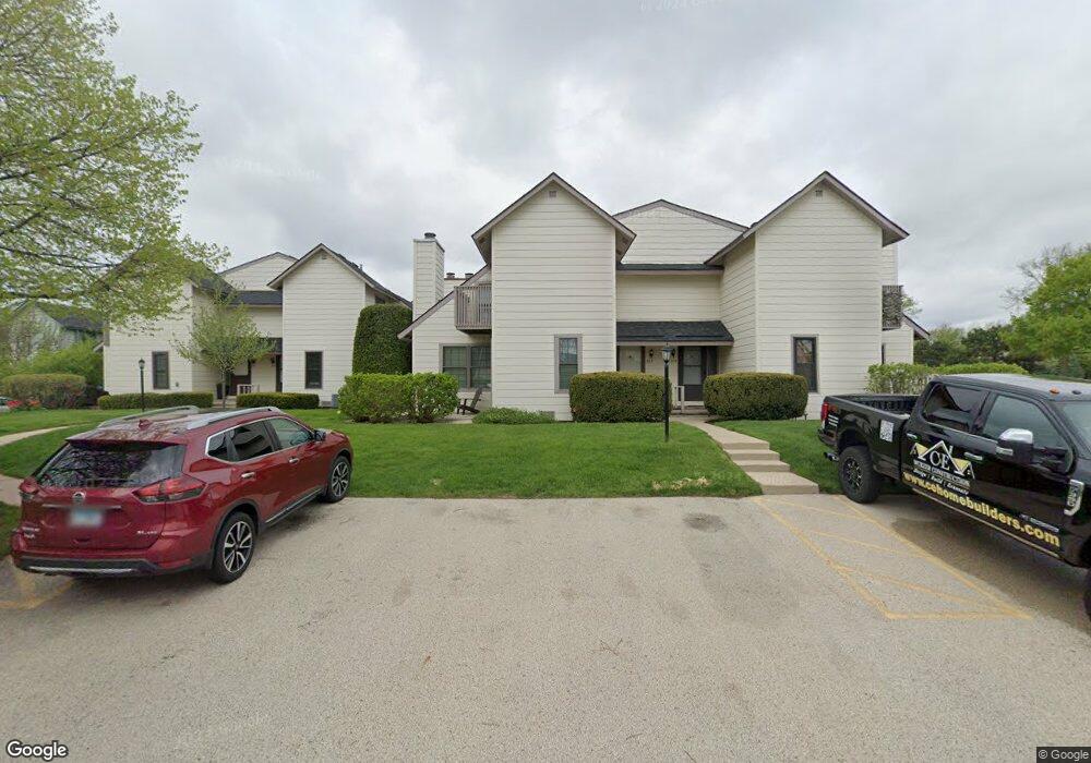
625 Chip Ct Unit U273 Gurnee, IL 60031
Estimated Value: $168,000 - $186,132
1
Bed
2
Baths
956
Sq Ft
$187/Sq Ft
Est. Value
About This Home
This home is located at 625 Chip Ct Unit U273, Gurnee, IL 60031 and is currently estimated at $179,033, approximately $187 per square foot. 625 Chip Ct Unit U273 is a home located in Lake County with nearby schools including Woodland Primary School, Woodland Elementary School, and Woodland Intermediate School.
Ownership History
Date
Name
Owned For
Owner Type
Purchase Details
Closed on
Feb 14, 2005
Sold by
Verenski Jason and Verenski Darlene
Bought by
Lefevre Jeanne M
Current Estimated Value
Home Financials for this Owner
Home Financials are based on the most recent Mortgage that was taken out on this home.
Original Mortgage
$91,200
Outstanding Balance
$45,959
Interest Rate
5.62%
Mortgage Type
Unknown
Estimated Equity
$133,074
Purchase Details
Closed on
Jun 12, 1995
Sold by
Schmitt Susan J
Bought by
Verenski Jason
Home Financials for this Owner
Home Financials are based on the most recent Mortgage that was taken out on this home.
Original Mortgage
$43,000
Interest Rate
8.27%
Create a Home Valuation Report for This Property
The Home Valuation Report is an in-depth analysis detailing your home's value as well as a comparison with similar homes in the area
Home Values in the Area
Average Home Value in this Area
Purchase History
| Date | Buyer | Sale Price | Title Company |
|---|---|---|---|
| Lefevre Jeanne M | $114,000 | First American Title | |
| Verenski Jason | $67,000 | First American Title |
Source: Public Records
Mortgage History
| Date | Status | Borrower | Loan Amount |
|---|---|---|---|
| Open | Lefevre Jeanne M | $91,200 | |
| Previous Owner | Verenski Jason | $43,000 | |
| Closed | Lefevre Jeanne M | $11,400 |
Source: Public Records
Tax History Compared to Growth
Tax History
| Year | Tax Paid | Tax Assessment Tax Assessment Total Assessment is a certain percentage of the fair market value that is determined by local assessors to be the total taxable value of land and additions on the property. | Land | Improvement |
|---|---|---|---|---|
| 2024 | $3,022 | $41,735 | $8,185 | $33,550 |
| 2023 | $2,696 | $38,747 | $7,599 | $31,148 |
| 2022 | $2,696 | $33,654 | $5,929 | $27,725 |
| 2021 | $2,252 | $30,475 | $5,369 | $25,106 |
| 2020 | $2,169 | $29,726 | $5,237 | $24,489 |
| 2019 | $2,100 | $28,863 | $5,085 | $23,778 |
| 2018 | $1,176 | $19,074 | $2,240 | $16,834 |
| 2017 | $1,156 | $18,528 | $2,176 | $16,352 |
| 2016 | $1,125 | $17,703 | $2,079 | $15,624 |
| 2015 | $1,069 | $16,790 | $1,972 | $14,818 |
| 2014 | $1,166 | $17,810 | $1,945 | $15,865 |
| 2012 | $2,498 | $17,947 | $1,960 | $15,987 |
Source: Public Records
Map
Nearby Homes
- 651 White Ct
- 638 Dordan Ct
- 650 Whitney Ct Unit 203
- 690 Chandler Rd Unit 207
- 690 Chandler Rd Unit 305
- 741 Colby Ct Unit U42
- 761 Creekside Cir Unit 93
- 711 Creekside Cir Unit 103
- 600 Creekside Cir Unit 85
- 776 Chandler Rd
- 640 Wilbur Ct
- 6121 Brookstone Place
- 6161 Oakmont Ln
- 917 Vose Dr Unit 304
- 6141 Crossland Blvd
- 6191 Oakmont Ln
- 920 Vose Dr Unit 304
- 920 Vose Dr Unit 106
- 920 Vose Dr Unit 105
- 914 Vose Dr
- 627 Chip Ct Unit U272
- 623 Chip Ct
- 621 Chip Ct
- 629 Chip Ct Unit U271
- 619 Chip Ct
- 631 Chip Ct Unit U270
- 633 Chip Ct Unit U269
- 635 Chip Ct
- 637 Chip Ct
- 639 Chip Ct Unit U258
- 641 Chip Ct Unit U257
- 609 Dunham Rd
- 643 Chip Ct
- 630 Chip Ct
- 632 Chip Ct
- 628 Chip Ct
- 634 Chip Ct Unit U277
- 620 Dunham Rd Unit U329
- 629 Dixon Ct
- 645 Chip Ct Unit U255