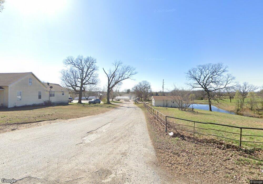
625 Dale Rouse Rd Tontitown, AR 72762
Estimated Value: $378,000 - $847,321
--
Bed
2
Baths
2,323
Sq Ft
$259/Sq Ft
Est. Value
About This Home
This home is located at 625 Dale Rouse Rd, Tontitown, AR 72762 and is currently estimated at $601,830, approximately $259 per square foot. 625 Dale Rouse Rd is a home located in Washington County with nearby schools including Willis Shaw Elementary School, Hellstern Middle School, and Central Junior High School.
Ownership History
Date
Name
Owned For
Owner Type
Purchase Details
Closed on
Apr 12, 2006
Sold by
Taylor William A and Taylor Lora E
Bought by
Taylor William and Taylor Lora
Current Estimated Value
Purchase Details
Closed on
Feb 28, 1994
Bought by
Taylor William A and Taylor Lora E
Purchase Details
Closed on
Mar 27, 1992
Bought by
Gardner Leroy and Gardner Ruby
Purchase Details
Closed on
Jun 7, 1989
Bought by
Canup Larry E and Canup Darla
Purchase Details
Closed on
Jan 1, 1985
Bought by
Burnett Woodrow W and Burnett Helen E
Create a Home Valuation Report for This Property
The Home Valuation Report is an in-depth analysis detailing your home's value as well as a comparison with similar homes in the area
Home Values in the Area
Average Home Value in this Area
Purchase History
| Date | Buyer | Sale Price | Title Company |
|---|---|---|---|
| Taylor William | -- | None Available | |
| Taylor William A | $94,000 | -- | |
| Gardner Leroy | $73,000 | -- | |
| Canup Larry E | $67,000 | -- | |
| Burnett Woodrow W | -- | -- |
Source: Public Records
Tax History Compared to Growth
Tax History
| Year | Tax Paid | Tax Assessment Tax Assessment Total Assessment is a certain percentage of the fair market value that is determined by local assessors to be the total taxable value of land and additions on the property. | Land | Improvement |
|---|---|---|---|---|
| 2025 | $6,220 | $143,610 | $20,370 | $123,240 |
| 2024 | $5,741 | $143,610 | $20,370 | $123,240 |
| 2023 | $5,391 | $143,610 | $20,370 | $123,240 |
| 2022 | $4,901 | $97,050 | $20,360 | $76,690 |
| 2021 | $4,901 | $97,050 | $20,360 | $76,690 |
| 2020 | $4,892 | $97,050 | $20,360 | $76,690 |
| 2019 | $4,823 | $95,510 | $20,330 | $75,180 |
| 2018 | $4,823 | $95,510 | $20,330 | $75,180 |
| 2017 | $4,378 | $95,510 | $20,330 | $75,180 |
| 2016 | $4,378 | $95,510 | $20,330 | $75,180 |
| 2015 | $4,272 | $95,510 | $20,330 | $75,180 |
| 2014 | $4,040 | $90,510 | $19,510 | $71,000 |
Source: Public Records
Map
Nearby Homes
- 735 Brush Creek Rd
- 3473 Grapevine Dr
- 14257 Osage Creek Rd
- 14321 Osage Creek Rd
- Lot 29 Buck Ave
- 3089 Buck Ave
- TBD Taylor
- 268 Fiori St
- 282 Fiori St
- 14557 Osage Rd
- 21385 Griggs Rd
- 336 Fiori St
- 298 Fiori St
- 316 Fiori St
- 21369 Griggs Rd
- 3279 Wildcat Creek Blvd
- 13668 Tally Gate Rd
- 1145 Javello Rd
- 1145 Javello Rd Unit LotWP001
- 2597 Wildcat Creek Blvd
- 708 Dale Rouse Rd
- 7 ac Old Highway 68
- 7 ac Old Hwy 68
- 3843 Old Highway 68
- 13760 Old 68 Hwy
- 3980 Old Highway 68
- 3553 Grapevine Dr
- 3558 Grapevine Dr
- 814 Dale Rouse Rd
- 3523 Liberty Ave
- 3851 Old Highway 68
- 3576 Liberty Ave
- 14000 W Old Hwy 68
- 3539 Grapevine Dr
- 855 Dale Rouse Rd
- 3524 Grapevine Dr
- 3617 Old Highway 68
- 3565 Liberty Ave
- 3613 Old Highway 68
- 675 Brush Creek Rd