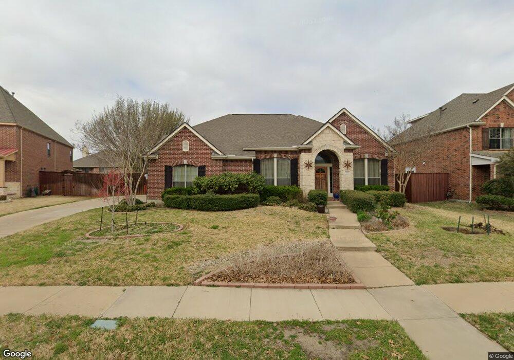
625 Duncan Dr Murphy, TX 75094
Estimated Value: $669,000 - $754,000
4
Beds
4
Baths
3,184
Sq Ft
$223/Sq Ft
Est. Value
About This Home
This home is located at 625 Duncan Dr, Murphy, TX 75094 and is currently estimated at $711,133, approximately $223 per square foot. 625 Duncan Dr is a home located in Collin County with nearby schools including Martha Hunt Elementary School, Murphy Middle School, and C A Mcmillen High School.
Ownership History
Date
Name
Owned For
Owner Type
Purchase Details
Closed on
Feb 18, 2005
Sold by
Weekley Homes Lp
Bought by
Kidd Peter Berggren
Current Estimated Value
Home Financials for this Owner
Home Financials are based on the most recent Mortgage that was taken out on this home.
Original Mortgage
$220,000
Outstanding Balance
$111,970
Interest Rate
5.77%
Mortgage Type
Purchase Money Mortgage
Estimated Equity
$599,163
Create a Home Valuation Report for This Property
The Home Valuation Report is an in-depth analysis detailing your home's value as well as a comparison with similar homes in the area
Home Values in the Area
Average Home Value in this Area
Purchase History
| Date | Buyer | Sale Price | Title Company |
|---|---|---|---|
| Kidd Peter Berggren | -- | Ptc |
Source: Public Records
Mortgage History
| Date | Status | Borrower | Loan Amount |
|---|---|---|---|
| Open | Kidd Peter Berggren | $220,000 |
Source: Public Records
Tax History
| Year | Tax Paid | Tax Assessment Tax Assessment Total Assessment is a certain percentage of the fair market value that is determined by local assessors to be the total taxable value of land and additions on the property. | Land | Improvement |
|---|---|---|---|---|
| 2025 | $6,784 | $662,773 | $180,000 | $505,112 |
| 2024 | $7,547 | $602,521 | $150,000 | $555,563 |
| 2023 | $7,547 | $547,746 | $150,000 | $510,868 |
| 2022 | $9,752 | $497,951 | $150,000 | $498,597 |
| 2021 | $9,348 | $452,683 | $110,000 | $342,683 |
| 2020 | $9,038 | $432,743 | $110,000 | $322,743 |
| 2019 | $9,370 | $427,660 | $110,000 | $317,660 |
| 2018 | $9,458 | $427,749 | $110,000 | $317,749 |
| 2017 | $8,938 | $404,231 | $90,000 | $314,231 |
| 2016 | $8,596 | $400,556 | $90,000 | $310,556 |
| 2015 | $7,504 | $349,078 | $90,000 | $259,078 |
Source: Public Records
Map
Nearby Homes
- 608 Pheasant Run Dr
- 730 Pheasant Run Dr
- 720 Nighthawk Dr
- 433 Shady Oaks Dr
- 816 Owl Creek Dr
- 820 Owl Creek Dr
- 524 Buffalo Bend Ct
- 523 Buffalo Bend Ct
- 527 Buffalo Bend Ct
- 452 Parkshire Dr
- 341 Greenfield Dr
- 342 Greenfield Dr
- 338 Greenfield Dr
- 503 Raven Dr
- 431 Lakefield Dr
- 335 Linhurst Dr
- 510 Havenwood Dr
- 308 Glen Ridge Dr
- 382 Dublin Rd
- 139 Carolyn Ln
- 629 Duncan Dr
- 621 Duncan Dr
- 624 Condor Dr
- 628 Condor Dr
- 620 Condor Dr
- 617 Duncan Dr
- 624 Duncan Dr
- 617 Pheasant Run Dr
- 624 Peacock Dr
- 628 Peacock Dr
- 702 Pheasant Run Dr
- 706 Pheasant Run Dr
- 613 Duncan Dr
- 620 Peacock Dr
- 625 Condor Dr
- 710 Pheasant Run Dr
- 616 Pheasant Run Dr
- 621 Condor Dr
- 629 Condor Dr
- 610 Duncan Dr
Your Personal Tour Guide
Ask me questions while you tour the home.