625 Lake Shore Blvd Wauconda, IL 60084
Estimated Value: $725,000 - $1,162,000
4
Beds
4
Baths
2,687
Sq Ft
$344/Sq Ft
Est. Value
About This Home
This home is located at 625 Lake Shore Blvd, Wauconda, IL 60084 and is currently estimated at $925,221, approximately $344 per square foot. 625 Lake Shore Blvd is a home located in Lake County with nearby schools including Wauconda Grade School, Wauconda Middle School, and Wauconda High School.
Ownership History
Date
Name
Owned For
Owner Type
Purchase Details
Closed on
Apr 28, 2021
Sold by
Sode Jeffrey A and Sode Patricia B
Bought by
Sode Jeffrey A and Sode Patricia B
Current Estimated Value
Purchase Details
Closed on
Sep 17, 2001
Sold by
Christian Beverly J and Karn Carroll G
Bought by
Sode Jeffrey A and Sode Patricia B
Home Financials for this Owner
Home Financials are based on the most recent Mortgage that was taken out on this home.
Original Mortgage
$233,000
Interest Rate
6.92%
Purchase Details
Closed on
Apr 16, 1998
Sold by
Salvi Joseph V
Bought by
Christian Beverly J and Karn Carroll G
Purchase Details
Closed on
Mar 2, 1998
Sold by
Christian Larry Wesley
Bought by
Christian Beverly J
Create a Home Valuation Report for This Property
The Home Valuation Report is an in-depth analysis detailing your home's value as well as a comparison with similar homes in the area
Home Values in the Area
Average Home Value in this Area
Purchase History
| Date | Buyer | Sale Price | Title Company |
|---|---|---|---|
| Sode Jeffrey A | -- | None Listed On Document | |
| Sode Jeffrey A | $433,000 | Chicago Title Insurance Co | |
| Christian Beverly J | -- | -- | |
| Salvi Joseph V | -- | -- | |
| Christian Beverly J | -- | -- |
Source: Public Records
Mortgage History
| Date | Status | Borrower | Loan Amount |
|---|---|---|---|
| Previous Owner | Sode Jeffrey A | $233,000 |
Source: Public Records
Tax History Compared to Growth
Tax History
| Year | Tax Paid | Tax Assessment Tax Assessment Total Assessment is a certain percentage of the fair market value that is determined by local assessors to be the total taxable value of land and additions on the property. | Land | Improvement |
|---|---|---|---|---|
| 2024 | $23,010 | $264,948 | $135,613 | $129,335 |
| 2023 | $22,042 | $242,183 | $123,961 | $118,222 |
| 2022 | $22,042 | $208,005 | $104,935 | $103,070 |
| 2021 | $21,091 | $196,546 | $99,154 | $97,392 |
| 2020 | $20,460 | $187,329 | $94,504 | $92,825 |
| 2019 | $18,211 | $177,043 | $89,315 | $87,728 |
| 2018 | $19,877 | $178,827 | $105,909 | $72,918 |
| 2017 | $19,865 | $176,759 | $104,684 | $72,075 |
| 2016 | $18,704 | $182,335 | $99,133 | $83,202 |
| 2015 | $19,298 | $167,387 | $91,006 | $76,381 |
| 2014 | $16,942 | $148,427 | $90,293 | $58,134 |
| 2012 | $16,443 | $151,102 | $91,920 | $59,182 |
Source: Public Records
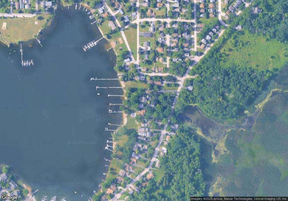
Map
Nearby Homes
- 701 Lake Shore Dr
- 302 Stillwater Ct Unit 1702
- 315 Grand Blvd
- 303 Stillwater Ct Unit 1106
- 309 Stillwater Ct Unit 1101
- 315 Hill St Unit A
- 325 Sundown Ct Unit B
- 310 Sundown Ct Unit E
- 0 Bonner Rd
- 28722 N Madison Ave
- 25570 W High St
- 25578 W High St
- 25586 W High St
- 28177 N Garland Rd
- 107 Hammond Ave
- 318 E Liberty St
- 26049 N Il Route 59
- 131 E Mill St Unit B104
- 25721 W Lakeview Ave
- 146 E Mill St
- 621 Lake Shore Blvd
- 619 Lake Shore Blvd
- 631 Lake Shore Blvd
- 633 Lake Shore Blvd
- 635 Lake Shore Blvd
- 615 Lake Shore Blvd
- 613 Lake Shore Blvd
- 702 Lake Shore Dr
- 700 Lake Shore Dr
- 611 Lake Shore Blvd
- 616 Lake Shore Blvd
- 701 Lakeshore Dr
- 609 Lake Shore Blvd
- 703 Lake Shore Dr
- 703 Lake Shore Dr
- 702 Ridge Ave
- 612 Lake Shore Blvd
- 705 Ridge Ave
- 705 Lake Shore Dr
- 632 Lake Shore Blvd