625 Lohr Rd Mansfield, OH 44903
Estimated Value: $316,000 - $374,784
3
Beds
1
Bath
1,224
Sq Ft
$284/Sq Ft
Est. Value
About This Home
This home is located at 625 Lohr Rd, Mansfield, OH 44903 and is currently estimated at $348,196, approximately $284 per square foot. 625 Lohr Rd is a home located in Richland County with nearby schools including Stingel Elementary School, Ontario Middle School, and Ontario High School.
Ownership History
Date
Name
Owned For
Owner Type
Purchase Details
Closed on
Dec 18, 2020
Sold by
Lucas Carolyn L and Partin Patricia L
Bought by
Lewis Aaron
Current Estimated Value
Home Financials for this Owner
Home Financials are based on the most recent Mortgage that was taken out on this home.
Original Mortgage
$174,535
Outstanding Balance
$155,388
Interest Rate
2.7%
Mortgage Type
Commercial
Estimated Equity
$192,808
Purchase Details
Closed on
Oct 3, 2011
Sold by
Mcclung Larry H
Bought by
Lucas Carolyn L and Partin Patricia L
Purchase Details
Closed on
Jun 24, 2011
Sold by
Miller Diana L
Bought by
Mcclung Larry H
Create a Home Valuation Report for This Property
The Home Valuation Report is an in-depth analysis detailing your home's value as well as a comparison with similar homes in the area
Home Values in the Area
Average Home Value in this Area
Purchase History
| Date | Buyer | Sale Price | Title Company |
|---|---|---|---|
| Lewis Aaron | $240,000 | Barrister Title | |
| Lucas Carolyn L | -- | Attorney | |
| Mcclung Larry H | $157,000 | Attorney |
Source: Public Records
Mortgage History
| Date | Status | Borrower | Loan Amount |
|---|---|---|---|
| Open | Lewis Aaron | $174,535 |
Source: Public Records
Tax History Compared to Growth
Tax History
| Year | Tax Paid | Tax Assessment Tax Assessment Total Assessment is a certain percentage of the fair market value that is determined by local assessors to be the total taxable value of land and additions on the property. | Land | Improvement |
|---|---|---|---|---|
| 2024 | $2,609 | $102,700 | $89,100 | $13,600 |
| 2023 | $2,609 | $102,700 | $89,100 | $13,600 |
| 2022 | $1,774 | $79,440 | $64,960 | $14,480 |
| 2021 | $1,778 | $79,440 | $64,960 | $14,480 |
| 2020 | $1,850 | $79,440 | $64,960 | $14,480 |
| 2019 | $2,259 | $68,620 | $54,140 | $14,480 |
| 2018 | $1,925 | $68,620 | $54,140 | $14,480 |
| 2017 | $1,895 | $68,620 | $54,140 | $14,480 |
| 2016 | $3,427 | $58,060 | $43,210 | $14,850 |
| 2015 | $3,427 | $58,060 | $43,210 | $14,850 |
| 2014 | $3,430 | $58,060 | $43,210 | $14,850 |
| 2012 | $1,961 | $50,860 | $36,010 | $14,850 |
Source: Public Records
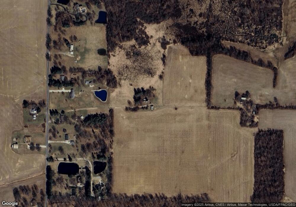
Map
Nearby Homes
- 4663 Millsboro Rd W
- 3880 Horizon Dr
- 0 Alexander Dr
- 445 Rudy Rd
- 0 Rudy Rd
- 3516 Muirfield
- 3516 Muirfield Dr
- 56 Lexington Ontario Rd
- 1366 Orweiler Rd
- 3541 Oakstone Dr
- 3458 Ridgestone Dr
- 8080 State Route 309
- 3436 Ridgestone Ct
- 436 Joy Lynn Ln
- 832 State Route 314 N
- 3320 Oakstone Dr
- 9563 County Road 20
- 3308 Park Ave W
- 4825 Lincoln Hwy
- 7394 State Route 97 Unit Lot 580