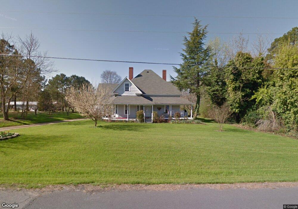
625 Maple St Locust, NC 28097
Estimated Value: $343,000 - $577,000
5
Beds
4
Baths
3,256
Sq Ft
$142/Sq Ft
Est. Value
About This Home
This home is located at 625 Maple St, Locust, NC 28097 and is currently estimated at $460,766, approximately $141 per square foot. 625 Maple St is a home located in Stanly County with nearby schools including Locust Elementary School, West Stanly Middle School, and West Stanly High School.
Ownership History
Date
Name
Owned For
Owner Type
Purchase Details
Closed on
Dec 6, 2021
Sold by
Randall Niven Edward
Bought by
Niven Jacob David
Current Estimated Value
Purchase Details
Closed on
Jan 23, 2017
Sold by
Niven Nancy Ward
Bought by
Niven Edward R
Purchase Details
Closed on
Jan 1, 2010
Bought by
Niven Edward R and Niven Nancy W
Purchase Details
Closed on
Nov 26, 2008
Sold by
Niven Edward R
Bought by
Niven Edward R and Niven Nancy Ward
Create a Home Valuation Report for This Property
The Home Valuation Report is an in-depth analysis detailing your home's value as well as a comparison with similar homes in the area
Home Values in the Area
Average Home Value in this Area
Purchase History
| Date | Buyer | Sale Price | Title Company |
|---|---|---|---|
| Niven Jacob David | -- | Mcintyre Elder Law Pllc | |
| Niven Edward R | -- | None Available | |
| Niven Edward R | -- | -- | |
| Niven Edward R | -- | None Available |
Source: Public Records
Tax History
| Year | Tax Paid | Tax Assessment Tax Assessment Total Assessment is a certain percentage of the fair market value that is determined by local assessors to be the total taxable value of land and additions on the property. | Land | Improvement |
|---|---|---|---|---|
| 2025 | $3,086 | $335,387 | $75,670 | $259,717 |
| 2024 | $2,389 | $219,134 | $46,610 | $172,524 |
| 2023 | $2,011 | $184,462 | $46,610 | $137,852 |
| 2022 | $879 | $123,983 | $46,610 | $77,373 |
| 2021 | $872 | $123,983 | $46,610 | $77,373 |
| 2020 | $740 | $96,660 | $39,345 | $57,315 |
| 2019 | $747 | $96,660 | $39,345 | $57,315 |
| 2018 | $1,092 | $96,660 | $39,345 | $57,315 |
| 2017 | $1,092 | $96,660 | $39,345 | $57,315 |
| 2016 | $1,039 | $91,932 | $36,090 | $55,842 |
| 2015 | $1,156 | $91,932 | $36,090 | $55,842 |
| 2014 | $1,177 | $91,932 | $36,090 | $55,842 |
Source: Public Records
Map
Nearby Homes
- 230 Battery Dr
- 249 Amber Glen Dr
- 245 Amber Glen Dr
- 241 Amber Glen Dr
- 237 Amber Glen Dr
- 233 Amber Glen Dr
- 166 Battery Dr
- 229 Amber Glen Dr
- 225 Amber Glen Dr
- 221 Amber Glen Dr
- 217 Amber Glen Dr
- 117 Battery Dr
- 211 Amber Glen Dr
- 205 Amber Glen Dr
- 201 Amber Glen Dr
- 117 Danita Dr
- 913 Meadow Creek Church Rd
- 219 Kerri Dawn Ln
- 617 Ardsley Dr
- 319 N Central Ave
- 102 Foxworth Dr
- 108 Pineridge St
- 623 Maple St
- 113 Pineridge St
- 622 Maple St
- 103 Foxworth Dr
- 104 Woodwinds St
- 201 Pineridge St
- 620 Maple St
- 703 Maple St
- 115 Creekview St
- 110 Foxworth Dr
- 106 Woodwinds St
- 704 Maple St
- 618 Maple St
- 203 Pineridge St
- 114 Foxworth Dr
- 114 Creekview St
- 101 Woodwinds St
- 107 Creekview St
Your Personal Tour Guide
Ask me questions while you tour the home.