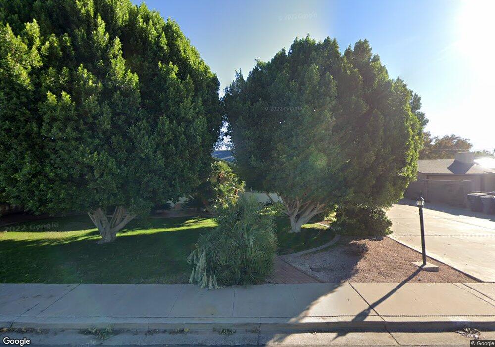
625 N Date Mesa, AZ 85201
Riverview NeighborhoodEstimated Value: $421,548 - $475,000
Studio
2
Baths
1,736
Sq Ft
$255/Sq Ft
Est. Value
About This Home
This home is located at 625 N Date, Mesa, AZ 85201 and is currently estimated at $442,137, approximately $254 per square foot. 625 N Date is a home located in Maricopa County with nearby schools including Franklin at Brimhall Elementary School, Emerson Elementary School, and Franklin West Elementary School.
Ownership History
Date
Name
Owned For
Owner Type
Purchase Details
Closed on
Jan 19, 2024
Sold by
Judd Family Revocable Trust
Bought by
Howard Travis Lee
Current Estimated Value
Home Financials for this Owner
Home Financials are based on the most recent Mortgage that was taken out on this home.
Original Mortgage
$398,050
Outstanding Balance
$391,189
Interest Rate
7.03%
Mortgage Type
New Conventional
Estimated Equity
$50,948
Purchase Details
Closed on
May 10, 2012
Sold by
Judd Arlo H and Judd Janette
Bought by
Judd Arlo H and Judd Janette R
Purchase Details
Closed on
Oct 24, 1997
Sold by
Judd Arlo H and Judd Janette
Bought by
Judd Arlo H and Judd Janette
Create a Home Valuation Report for This Property
The Home Valuation Report is an in-depth analysis detailing your home's value as well as a comparison with similar homes in the area
Home Values in the Area
Average Home Value in this Area
Purchase History
| Date | Buyer | Sale Price | Title Company |
|---|---|---|---|
| Howard Travis Lee | $419,000 | Title Services Of The Valley | |
| Judd Arlo H | -- | None Available | |
| Judd Arlo H | -- | Chicago Title Insurance Co |
Source: Public Records
Mortgage History
| Date | Status | Borrower | Loan Amount |
|---|---|---|---|
| Open | Howard Travis Lee | $398,050 |
Source: Public Records
Tax History
| Year | Tax Paid | Tax Assessment Tax Assessment Total Assessment is a certain percentage of the fair market value that is determined by local assessors to be the total taxable value of land and additions on the property. | Land | Improvement |
|---|---|---|---|---|
| 2025 | $1,104 | $13,289 | -- | -- |
| 2024 | $1,116 | $12,656 | -- | -- |
| 2023 | $1,116 | $30,060 | $6,010 | $24,050 |
| 2022 | $1,091 | $23,420 | $4,680 | $18,740 |
| 2021 | $1,121 | $21,260 | $4,250 | $17,010 |
| 2020 | $1,106 | $20,430 | $4,080 | $16,350 |
| 2019 | $1,025 | $17,200 | $3,440 | $13,760 |
| 2018 | $978 | $14,920 | $2,980 | $11,940 |
| 2017 | $948 | $11,020 | $2,200 | $8,820 |
| 2016 | $930 | $10,870 | $2,170 | $8,700 |
Source: Public Records
Map
Nearby Homes
- 719 N Cherry
- 455 W 5th Place
- 606 N Country Club Dr
- 837 N Revere Unit E
- 453 W University Dr
- 453 W 3rd Place
- 505 N Robson
- 923 N Country Club Dr
- 805 N Westwood
- 236 N Country Club Dr
- 921 W University Dr Unit 1030
- 921 W University Dr Unit 1232
- 141 N Date Unit 6
- 141 N Date Unit 63
- 424 W Brown Rd Unit 109
- 424 W Brown Rd Unit 105
- 1061 W 5th St
- 1105 W 6th Place
- 1042 W 9th Place
- 1051 N Grand