Estimated Value: $856,000 - $1,917,000
2
Beds
2
Baths
1,016
Sq Ft
$1,494/Sq Ft
Est. Value
About This Home
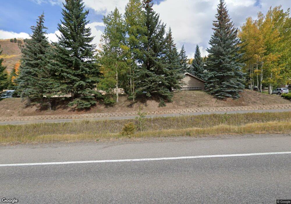
This home is located at 625 N Frontage Rd W Unit 13, Vail, CO 81657 and is currently estimated at $1,518,237, approximately $1,494 per square foot. 625 N Frontage Rd W Unit 13 is a home located in Eagle County with nearby schools including Red Sandstone Elementary School and Battle Mountain High School.
Ownership History
Date
Name
Owned For
Owner Type
Purchase Details
Closed on
Jul 18, 2023
Sold by
Charles E Maxwell Trust
Bought by
Wilkerson Family Investors Llc
Current Estimated Value
Purchase Details
Closed on
Feb 28, 2018
Sold by
Wilkerson Patrick A
Bought by
Wilkerson Family Investors Llc
Purchase Details
Closed on
Dec 15, 2006
Sold by
Teasdale Joseph P and Teasdale Mary Theresa
Bought by
Charles E Maxwell Trust
Purchase Details
Closed on
Dec 13, 2006
Sold by
Wilkerson Patrick
Bought by
Patrick A Wilkerson Trust
Purchase Details
Closed on
Oct 15, 2006
Sold by
Grohman Gordon and Grohman Theresa
Bought by
Charles E Maxwell Trust
Purchase Details
Closed on
Jan 17, 2006
Sold by
Grohman Gordon M and Grohman Theresa
Bought by
Teasdale Joseph P and Teasdale Mary Theresa
Purchase Details
Closed on
Mar 31, 1980
Create a Home Valuation Report for This Property
The Home Valuation Report is an in-depth analysis detailing your home's value as well as a comparison with similar homes in the area
Home Values in the Area
Average Home Value in this Area
Purchase History
| Date | Buyer | Sale Price | Title Company |
|---|---|---|---|
| Wilkerson Family Investors Llc | $125,000 | None Listed On Document | |
| Teahan Trust | $125,000 | None Listed On Document | |
| Wilkerson Family Investors Llc | -- | None Available | |
| Charles E Maxwell Trust | $100,000 | None Available | |
| Patrick A Wilkerson Trust | $500 | None Available | |
| Charles E Maxwell Trust | $100,000 | None Available | |
| Teasdale Joseph P | -- | None Available | |
| -- | $179,500 | -- |
Source: Public Records
Tax History
| Year | Tax Paid | Tax Assessment Tax Assessment Total Assessment is a certain percentage of the fair market value that is determined by local assessors to be the total taxable value of land and additions on the property. | Land | Improvement |
|---|---|---|---|---|
| 2025 | $4,038 | $81,540 | -- | $81,540 |
| 2024 | $4,048 | $85,110 | -- | $85,110 |
| 2023 | $4,048 | $85,110 | $0 | $85,110 |
| 2022 | $2,795 | $54,390 | $0 | $54,390 |
| 2021 | $2,878 | $55,960 | $0 | $55,960 |
| 2020 | $2,649 | $52,190 | $0 | $52,190 |
| 2019 | $2,657 | $52,190 | $0 | $52,190 |
| 2018 | $2,833 | $54,530 | $0 | $54,530 |
| 2017 | $2,819 | $54,530 | $0 | $54,530 |
| 2016 | $2,820 | $55,160 | $0 | $55,160 |
| 2015 | -- | $55,160 | $0 | $55,160 |
| 2014 | $2,208 | $46,970 | $0 | $46,970 |
Source: Public Records
Map
Nearby Homes
- 625 N Frontage Rd W Unit 22
- 625 N Frontage Rd W Unit 32B
- 701 W Lionshead Cir Unit E307
- 701 W Lionshead Cir Unit W404
- 701 W Lionshead Cir Unit W503
- 707 W Lionshead Cir Unit B6
- 710 W Lionshead Cir Unit 311
- 616 W Lionshead Cir Unit 4B
- 616 W Lionshead Cir Unit 3C
- 616 W Lionshead Cir Unit 3A
- 616 W Lionshead Cir Unit 4A
- 616 W Lionshead Cir Unit 5A
- 610 W Lionshead Cir Unit 704
- 610 W Lionshead Cir Unit 517
- 610 W Lionshead Cir Unit 115
- 684 W Lionshead Cir Unit 215/216
- 684 W Lionshead Cir Unit 304
- 714 W Lionshead Cir Unit 683
- 770 Potato Patch Dr Unit 14
- 635 Lionshead Place Unit 382
- 625 N Frontage Rd W Unit 24
- 625 N Frontage Rd W Unit 23
- 625 N Frontage Rd W Unit 21
- 625 N Frontage Rd W Unit 20
- 625 N Frontage Rd W Unit 19
- 625 N Frontage Rd W Unit 18
- 625 N Frontage Rd W Unit 17
- 625 N Frontage Rd W Unit 16
- 625 N Frontage Rd W Unit 15
- 625 N Frontage Rd W Unit 14
- 625 N Frontage Rd W Unit B-31
- 625 N Frontage Rd W Unit 33A
- 625 N Frontage Rd W Unit 44
- 625 N Frontage Rd W Unit 11B
- 625 N Frontage Rd W Unit 29
- 625 N Frontage Rd W Unit 33B
- 625 N Frontage Rd W Unit 12B
- 625 N Frontage Rd W Unit 31B
- 625 N Frontage Rd W Unit 34 B
- 625 N Frontage Rd W
Your Personal Tour Guide
Ask me questions while you tour the home.