Estimated Value: $901,000 - $1,591,000
2
Beds
2
Baths
1,041
Sq Ft
$1,236/Sq Ft
Est. Value
About This Home
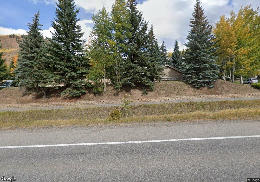
This home is located at 625 N Frontage Rd W Unit 15, Vail, CO 81657 and is currently estimated at $1,286,887, approximately $1,236 per square foot. 625 N Frontage Rd W Unit 15 is a home located in Eagle County with nearby schools including Red Sandstone Elementary School and Battle Mountain High School.
Ownership History
Date
Name
Owned For
Owner Type
Purchase Details
Closed on
Apr 13, 2012
Sold by
Mcnutt Dan Calvin and Mcnutt Sally
Bought by
Becker Sally
Current Estimated Value
Home Financials for this Owner
Home Financials are based on the most recent Mortgage that was taken out on this home.
Original Mortgage
$428,000
Outstanding Balance
$58,088
Interest Rate
3.97%
Mortgage Type
New Conventional
Estimated Equity
$1,228,799
Purchase Details
Closed on
Jul 26, 2010
Sold by
Mcnutt Dan Calvin
Bought by
Mcnutt Sally
Purchase Details
Closed on
Sep 15, 2000
Sold by
Scott Ivylyn
Bought by
Mcnutt Dan Calvin and Mcnutt Sally Jan
Purchase Details
Closed on
May 17, 1996
Purchase Details
Closed on
Apr 8, 1980
Create a Home Valuation Report for This Property
The Home Valuation Report is an in-depth analysis detailing your home's value as well as a comparison with similar homes in the area
Home Values in the Area
Average Home Value in this Area
Purchase History
| Date | Buyer | Sale Price | Title Company |
|---|---|---|---|
| Becker Sally | $535,000 | Heritage Title | |
| Mcnutt Sally | -- | None Available | |
| Mcnutt Dan Calvin | $286,000 | Stewart Title | |
| -- | $232,500 | -- | |
| -- | $123,000 | -- |
Source: Public Records
Mortgage History
| Date | Status | Borrower | Loan Amount |
|---|---|---|---|
| Open | Becker Sally | $428,000 |
Source: Public Records
Tax History Compared to Growth
Tax History
| Year | Tax Paid | Tax Assessment Tax Assessment Total Assessment is a certain percentage of the fair market value that is determined by local assessors to be the total taxable value of land and additions on the property. | Land | Improvement |
|---|---|---|---|---|
| 2024 | $3,677 | $77,300 | -- | $77,300 |
| 2023 | $3,677 | $77,300 | $0 | $77,300 |
| 2022 | $2,557 | $49,760 | $0 | $49,760 |
| 2021 | $2,633 | $51,190 | $0 | $51,190 |
| 2020 | $2,371 | $46,710 | $0 | $46,710 |
| 2019 | $2,378 | $46,710 | $0 | $46,710 |
| 2018 | $2,503 | $48,180 | $0 | $48,180 |
| 2017 | $2,491 | $48,180 | $0 | $48,180 |
| 2016 | $2,499 | $48,880 | $0 | $48,880 |
| 2015 | -- | $48,880 | $0 | $48,880 |
| 2014 | $1,963 | $41,750 | $0 | $41,750 |
Source: Public Records
Map
Nearby Homes
- 701 W Lionshead Cir Unit E307
- 701 W Lionshead Cir Unit W404
- 707 W Lionshead Cir Unit B6
- 684 W Lionshead Cir Unit 304
- 684 W Lionshead Cir Unit 215/216
- 684 W Lionshead Cir Unit 302
- 548 S Frontage Rd E Unit 302
- 714 Lionshead Place Unit Penthouse
- 770 Potato Patch Dr Unit 5
- 675 Lionshead Place Unit 642
- 929 Red Sandstone Rd Unit 15D
- 728 W Lionshead Cir Unit F-124
- 728 W Lionshead Cir Unit R-616
- 728 W Lionshead Cir Unit F-224
- 508 E Lionshead Cir Unit 203
- 508 E Lionshead Cir Unit 310/Week 23
- 508 E Lionshead Cir Unit 502
- 508 E Lionshead Cir Unit 116-44
- 508 E Lionshead Cir Unit 310/week 8
- 508 E Lionshead Cir Unit 116-07
- 625 N Frontage Rd W Unit 24
- 625 N Frontage Rd W Unit 23
- 625 N Frontage Rd W Unit 22
- 625 N Frontage Rd W Unit 21
- 625 N Frontage Rd W Unit 20
- 625 N Frontage Rd W Unit 19
- 625 N Frontage Rd W Unit 18
- 625 N Frontage Rd W Unit 17
- 625 N Frontage Rd W Unit 16
- 625 N Frontage Rd W Unit 14
- 625 N Frontage Rd W Unit 13
- 625 N Frontage Rd W Unit 32B
- 625 N Frontage Rd W Unit B-31
- 625 N Frontage Rd W Unit 33A
- 625 N Frontage Rd W Unit 44
- 625 N Frontage Rd W Unit 11B
- 625 N Frontage Rd W Unit 29
- 625 N Frontage Rd W Unit 33B
- 625 N Frontage Rd W Unit 12B
- 625 N Frontage Rd W Unit 31B